Take a fast-paced ride down the spine of the Rio Grande Valley as we follow Interstate 25 from Bernalillo to Albuquerque, New Mexico. This 16-mile journey cuts through tribal lands, suburban sprawl, and urban energy, gradually transitioning from the high-desert outskirts of the Sandia Mountains into the heart of New Mexico’s largest city. It’s a drive that traces the path of the ancient Camino Real and the ever-modernizing front line of the American Southwest.
We begin our trip at the junction of US Highway 550 in Bernalillo, a town that once served as a colonial outpost and gateway to Santa Fe. As we merge onto I-25 south, the road opens up to broad desert vistas framed by the Sandia Mountains to the east. Within moments, the terrain subtly shifts—what was once ranchland and piñon-studded hills gives way to development as we enter the boundaries of Sandia Pueblo. The Pueblo has maintained its presence here for centuries, and today, casinos, golf resorts, and cultural centers line the corridor as a blend of tradition and commerce meet the demands of the modern traveler.
Continuing south, we approach the outskirts of Albuquerque. Traffic thickens slightly, and the skyline of the city begins to shimmer ahead in the high desert haze. Just before NM-556 (Tramway Road), we skirt the Sandia foothills, offering a teasing glance at the famous Sandia Peak Tramway to the east—one of the longest aerial tramways in the world, linking the desert floor to mountaintop vistas more than 10,000 feet up. This segment of I-25 threads us through a patchwork of residential suburbs, shopping plazas, and wide commercial corridors, each one a reflection of Albuquerque’s steady growth and its blend of Native, Hispanic, and Anglo influences.
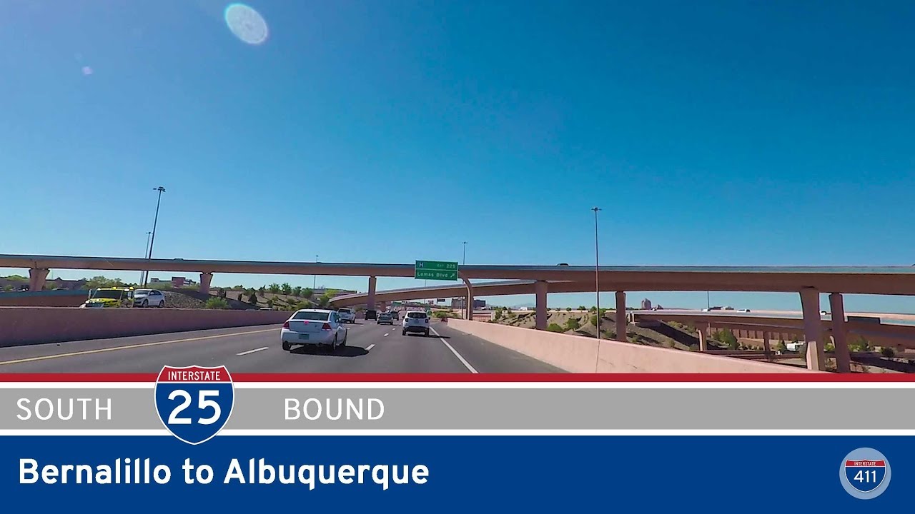
As we near central Albuquerque, the road subtly curves southwest, drawing us toward the core of the city. High-speed traffic funnels into a tightly choreographed interchange known locally as the “Big I”—the sprawling, multi-level connection point between Interstates 25 and 40. Reconstructed in the early 2000s, this engineering marvel is more than just a tangle of concrete—it’s the beating heart of the city’s freeway system, linking east-west and north-south movement across New Mexico. We pass under the flyovers of I-40 and emerge on the northern edge of downtown, where older neighborhoods like Barelas and Martineztown begin to come into view.
Our journey ends at the interchange at Lomas Boulevard, where I-25 continues its path toward the southern neighborhoods of Albuquerque and, eventually, the open highways leading to Socorro and Las Cruces. But here, just beyond the Big I, we find ourselves on the doorstep of a city that’s equal parts history and innovation, tradition and reinvention. From Pueblo lands to metro gridlock, this brief but vibrant stretch of I-25 offers a cross-section of New Mexico’s complex identity—a reminder that even a few miles of interstate can tell stories stretching back centuries.
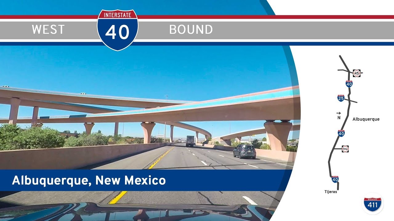
🗺️ Route Map
0 Comments