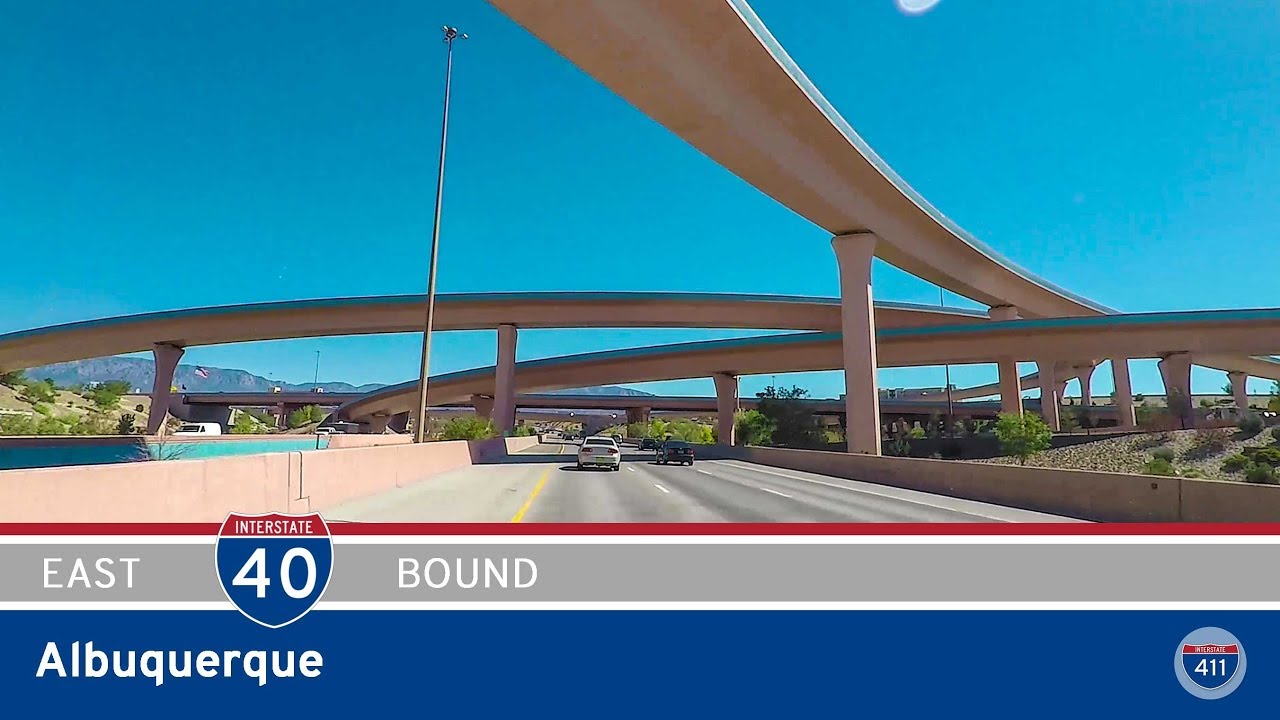
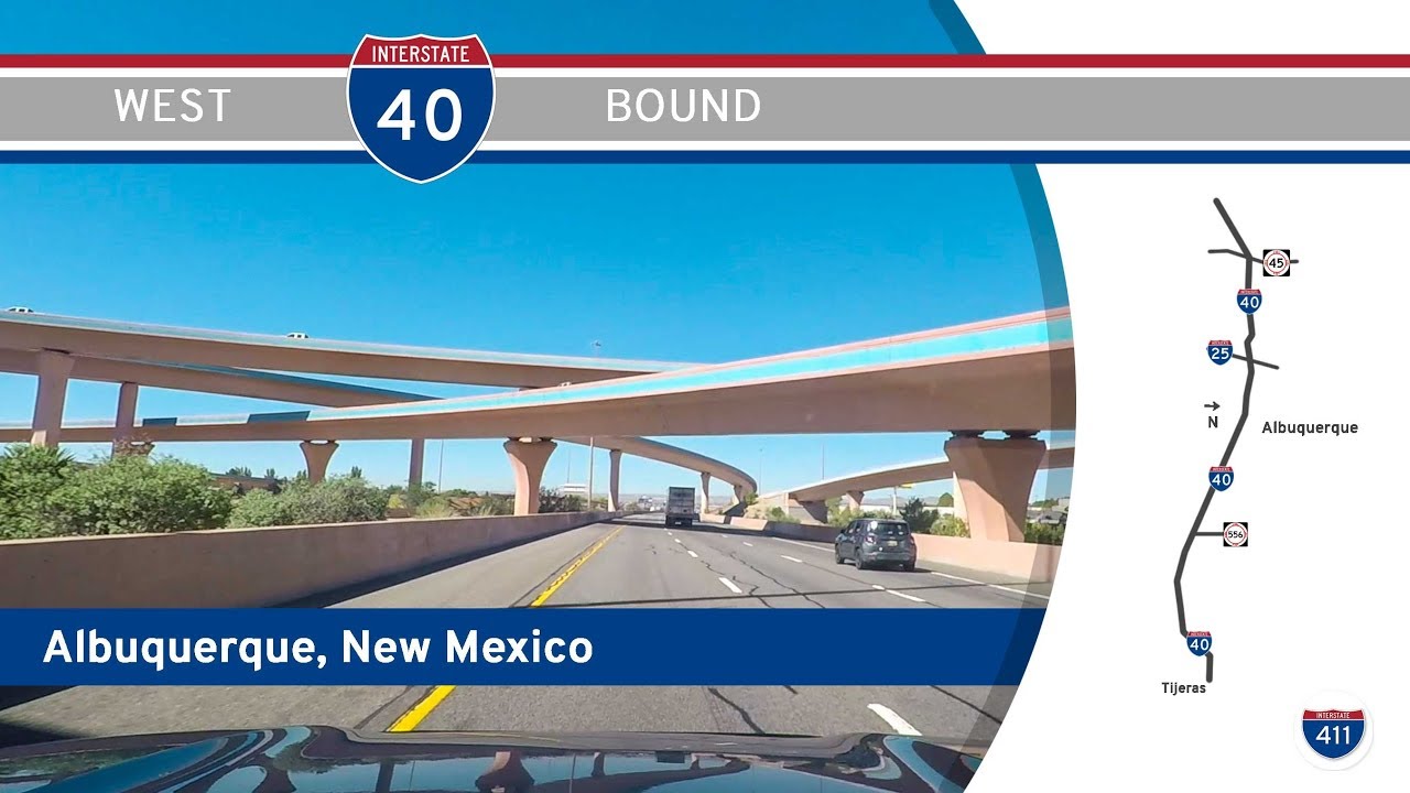
Take a high-speed cruise through the heart of New Mexico’s largest city as we follow Interstate 40 eastbound across Albuquerque—from the Rio Grande to the Sandia foothills. This 12-mile stretch of freeway, officially named the Coronado Freeway, blends fast-paced urban infrastructure with expansive Southwestern views, and even offers a glimpse into the state’s past as we pass near the alignment of Historic Route 66.
We begin our journey just off Rio Grande Boulevard, merging onto Interstate 40 as it cuts through Albuquerque’s west-central neighborhoods. Almost immediately, the city’s urban sprawl becomes apparent, with low-rise commercial development lining the frontage roads and distant views of the downtown skyline to the south. Just a few minutes into our drive, we approach The Big I—Albuquerque’s massive and iconic interchange where I-40 crosses Interstate 25. This spaghetti bowl of flyovers and ramps is one of the most complex interchanges in the Southwest, and a key transportation hub not just for the city, but for cross-country travelers headed east or south. We stay the course on I-40 eastbound, navigating the heart of the city as we accelerate into the next leg of our drive.
East of the Big I, the character of the freeway changes subtly. The road takes on a gentle southeastern curve as we pass through neighborhoods like Nob Hill and Highland. The density here is lower, and glimpses of the Sandia Mountains begin to appear on the horizon. Residential subdivisions give way to light commercial districts, and the freeway becomes a dividing line between older urban cores and newer developments. Along this stretch, I-40 runs roughly parallel to the historic alignment of Route 66, which still survives as Central Avenue. Though the historic motels and neon signs have faded in many areas, the legacy of the Mother Road remains baked into the culture of the city—just a few blocks south of us, old motor courts and quirky roadside diners mark a slower era of American travel.
As we climb toward the eastern edge of the city, the terrain rises and the view widens. Albuquerque’s grid begins to fade behind us, replaced by wide-open shoulders and desert brush. The traffic lightens up, too, giving a sense that the city is finally loosening its grip. Our drive concludes at Exit 167—Tramway Boulevard—where the freeway intersects with the Sandia Crest Scenic Byway and another preserved segment of Route 66. From here, travelers can either continue east toward Tijeras Canyon and beyond, or detour north to the Sandia Peak Tramway, the world’s third-longest aerial tramway, for a ride to 10,378 feet above sea level.
This slice of I-40 offers more than just a path through the city—it tells the story of Albuquerque’s growth, its transportation legacy, and the ever-present pull of the open road toward the mountains and desert beyond. Whether you’re just passing through or beginning a deeper journey into New Mexico, this stretch of freeway reminds us how even the most urban drives can carry the spirit of exploration.
🗺️ Route Map
0 Comments