U.S. Route 82 (US 82) is a major east–west highway traversing the southern tier of the United States, stretching from Whiteville, North Carolina, to Cloudcroft, New Mexico. Spanning approximately 1,625 miles, US 82 connects rural and urban areas across five states: North Carolina, Georgia, Alabama, Mississippi, and Texas, before climbing into the Sacramento Mountains of southern New Mexico. Along its path, it serves as an important regional corridor for both freight and local travel.
In the east, US 82 begins in the agricultural plains of eastern North Carolina and quickly transitions into a key route across southern Georgia, passing through cities such as Tifton and Albany. Entering Alabama, it becomes a vital connector between Tuscaloosa and Montgomery, and later merges with U.S. Route 231 before continuing westward. In Mississippi, US 82 is largely a four-lane divided highway, offering fast east–west movement through towns like Columbus, Greenwood, and Greenville.
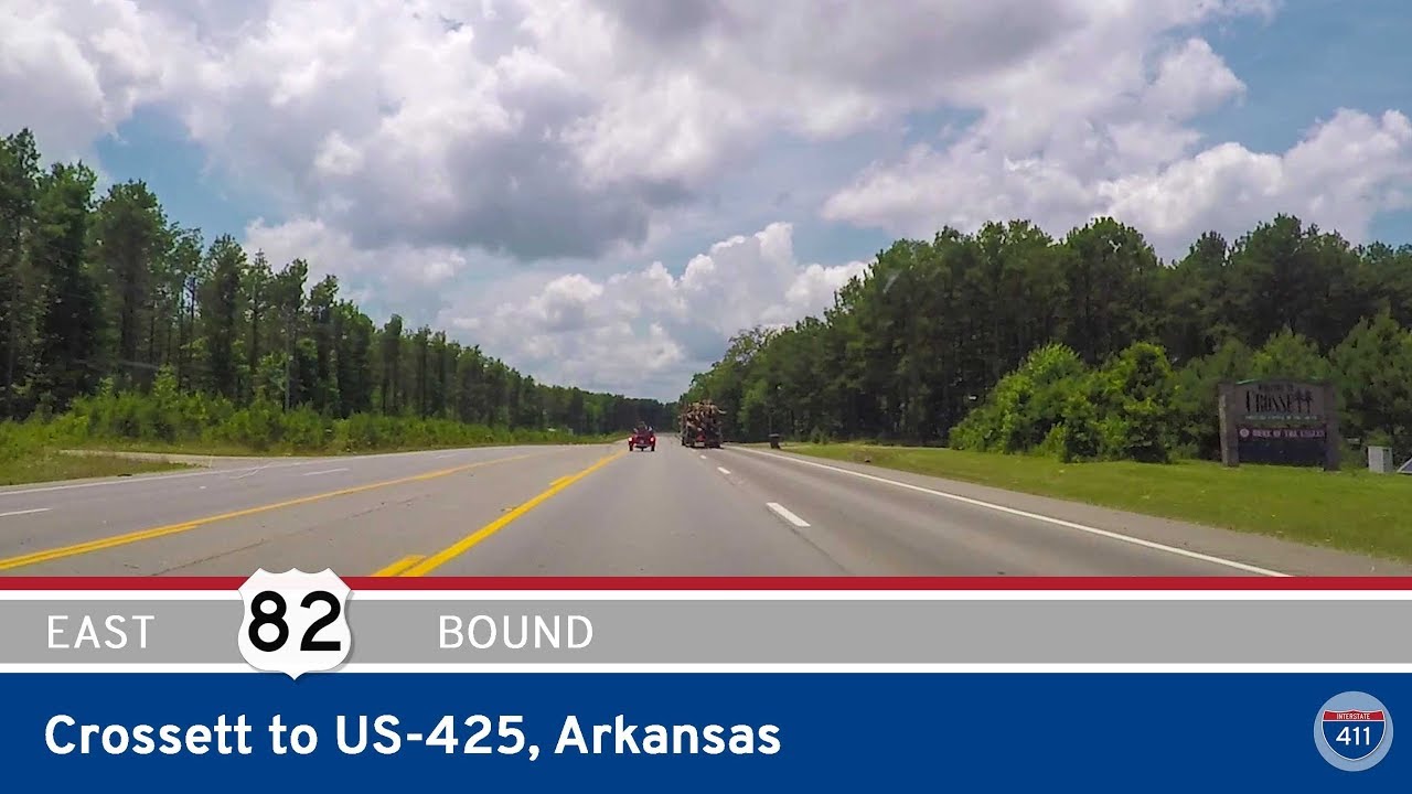
Crossing the Mississippi River via the Greenville Bridge, the route enters Arkansas briefly before turning southwest across Texas. In Texas, it serves several large cities including Texarkana, Paris, Lubbock, and Abilene, often as a divided highway or freeway-standard route. The final stretch of US 82 winds into New Mexico, ascending through Alamogordo and ending high in the Lincoln National Forest near Cloudcroft—one of the most scenic endpoints of any U.S. highway.