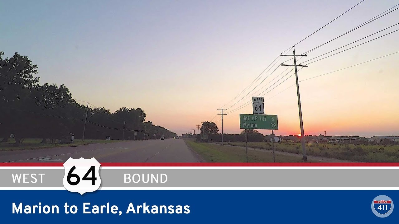
Join us as we travel 17 miles west along U.S. Highway 64 from Marion to Earle, Arkansas — a route that trades the urban edges of the Memphis metro for the wide-open expanses of the Arkansas Delta. This section of US-64 may not be flashy, but it’s a straight shot through the rich farmlands of Crittenden County, offering a quiet look at the backbone of rural eastern Arkansas. It’s the kind of drive where rows of cotton or soy stretch out to the horizon, and the nearest town might just be marked by a grain elevator or a water tower in the distance.
We begin our drive at the interchange with Interstate 55 in Marion, right on the western edge of the Memphis metropolitan area. Marion is a fast-growing suburb that still hangs onto its small-town feel, and it marks the transition point from urban to rural. As we head west on US-64, the city thins quickly into flat agricultural land. This area is part of the alluvial plain of the Mississippi River, known for its incredibly fertile soil — and it shows. Depending on the season, you’ll pass fields heavy with crops, irrigation equipment at work, and roadside produce stands that pop up when harvest rolls in.
Continuing west, we roll into Crawfordsville, a quiet town that’s seen better days but still holds onto its historic charm. Look out for the old buildings along the roadside that hint at a time when US-64 was a more vital east-west artery before the interstates took over. Just past town, the road flattens again as we pass through more farmland, occasional tree stands, and drainage ditches typical of Delta infrastructure. You might catch glimpses of tractors in the fields, or even the occasional crop duster if you’re lucky.
As we approach Earle, the highway gently curves into town, where the pace slows and buildings once again line the route. Earle is another small Delta town with deep agricultural roots. US-64 serves as its main street, cutting through neighborhoods and near small businesses. We end the drive at the intersection with Arkansas Highway 149, just north of downtown Earle. From here, travelers can continue west toward Wynne and beyond, or head south toward Hughes and the Mississippi River levee.
🗺️ Route Map
0 Comments