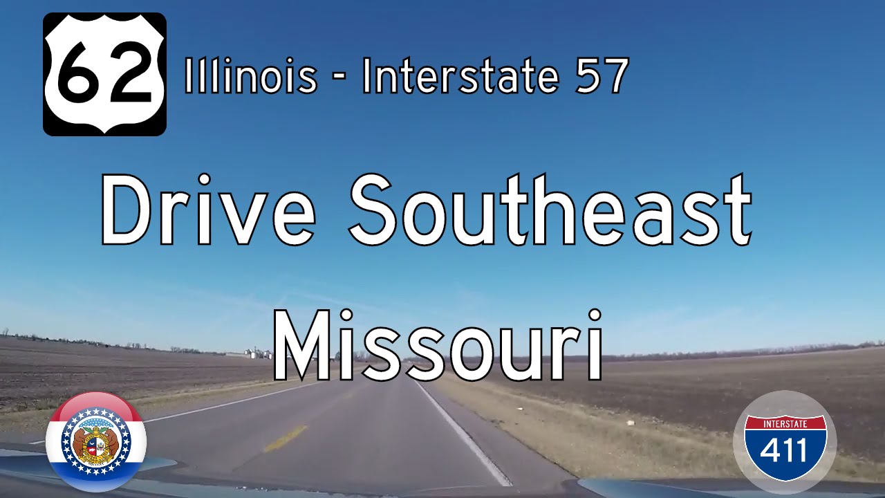
Take a scenic ride across one of the country’s great rivers as we follow U.S. Route 62 west from the Mississippi River into the flat agricultural heartland of southeastern Missouri. This brief yet meaningful 11-mile stretch connects the Illinois border to Interstate 57, forming part of a vital corridor that blends old river town heritage with the smooth efficiency of modern infrastructure.
We begin just after crossing the Cairo Mississippi River Bridge, where U.S. 60 and U.S. 62 arrive in Missouri from Cairo, Illinois. This impressive cantilever bridge, opened in 1929, carries two lanes of traffic high above the muddy waters of the Mississippi and drops us into the Missouri Bootheel — a region unlike any other in the state. The land here is pancake-flat, carved by centuries of river flow and reshaped by human hands into a checkerboard of levees, fields, and drainage canals. At this point, US-60 and US-62 run together, forming a shared alignment that reflects the close relationship between towns and trade routes on either side of the river.
As we drive westward, wide-open farmland dominates the landscape. Giant irrigation pivots dot the horizon, and silos rise like sentinels from distant farmsteads. Though the road is straight and efficient, it’s not without charm. Occasional side roads hint at old alignments or forgotten towns now reduced to a few buildings. The nearby community of Wyatt lies just to our south, barely visible through the expanse of soy and cotton. To the north, the rich alluvial soil supports some of the most productive farmland in Missouri, a legacy of the Mississippi’s floodplain.
Approaching Charleston, the highway gradually expands into a more developed corridor. Commercial signs start to pepper the roadside, and traffic increases as we near the junction with Interstate 57. This area serves as a regional transportation hub, with I-57 offering a north–south link from Chicago to Memphis and beyond. The brief ride ends at this junction, but its importance as a connector — from rural fields to national routes, from riverbanks to interstates — is undeniable.
Though short in length, this segment of U.S. 62 represents a meaningful slice of Mid-America. It’s a drive where every mile ties into a larger network — agricultural, historical, and logistical. From steel truss bridges to soy fields shimmering under a wide Delta sky, it captures the quiet utility and overlooked beauty of the Bootheel’s lifelines.
🎵 Music:
Wheels by Audionautix is licensed under a Creative Commons Attribution license (https://creativecommons.org/licenses/by/4.0/)
Artist: http://audionautix.com/
🗺️ Route Map

0 Comments