![U.S. Route 412: Kennett, Missouri to Paragould, Arkansas | Real Roads, Real Drives [Repost]](https://openroadarchive.com/wp-content/cache/flying-press/edcfb5ddc4db4592c012cd21af757dee.jpg)
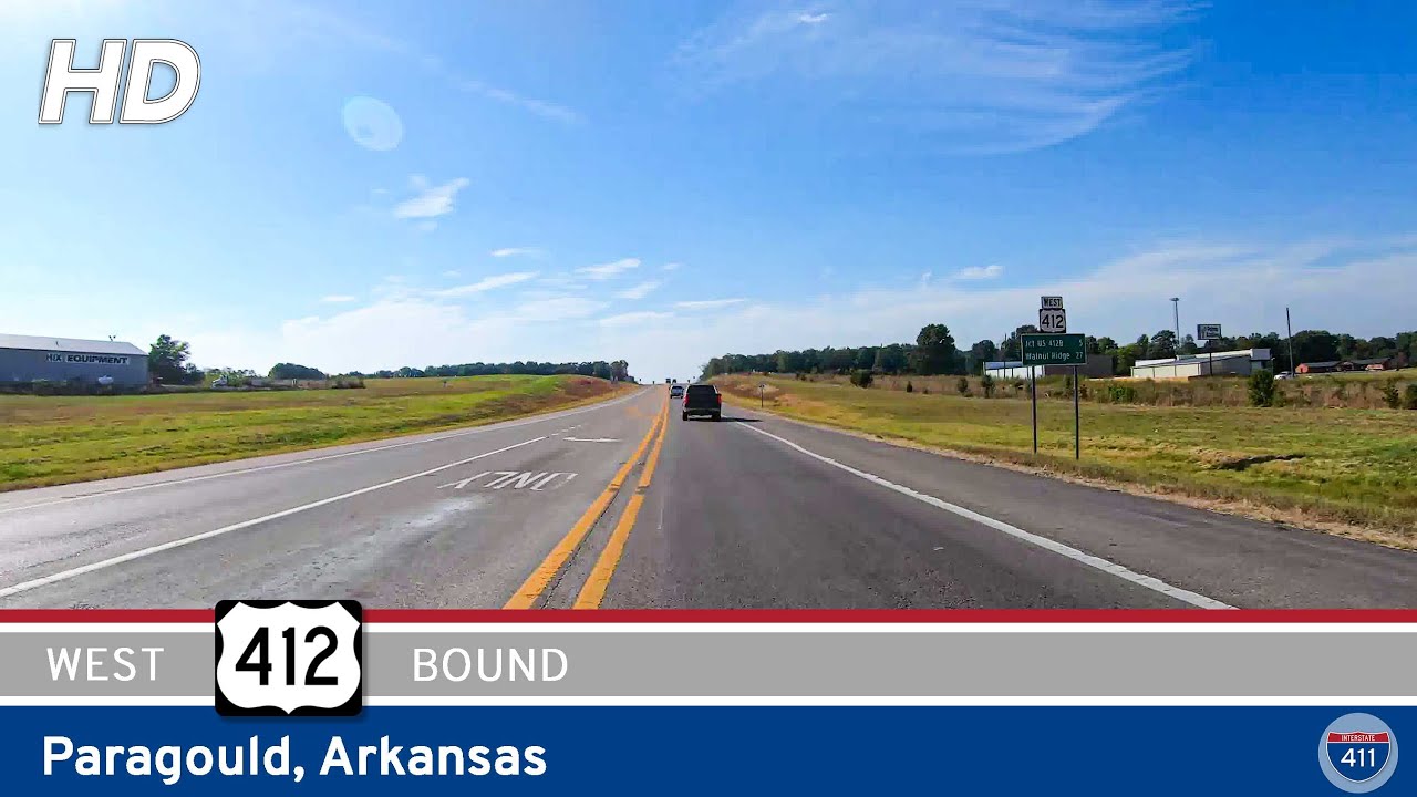
U.S. Highway 412 takes us on a 33-mile journey from the heart of Missouri’s Bootheel into the rich, agricultural lands of northeastern Arkansas. This east-to-west segment delivers more than just a link between towns—it’s a cross-state connector that transitions from the flat farmland of Dunklin County, Missouri, into the light industrial and commercial landscape of Paragould, Arkansas.
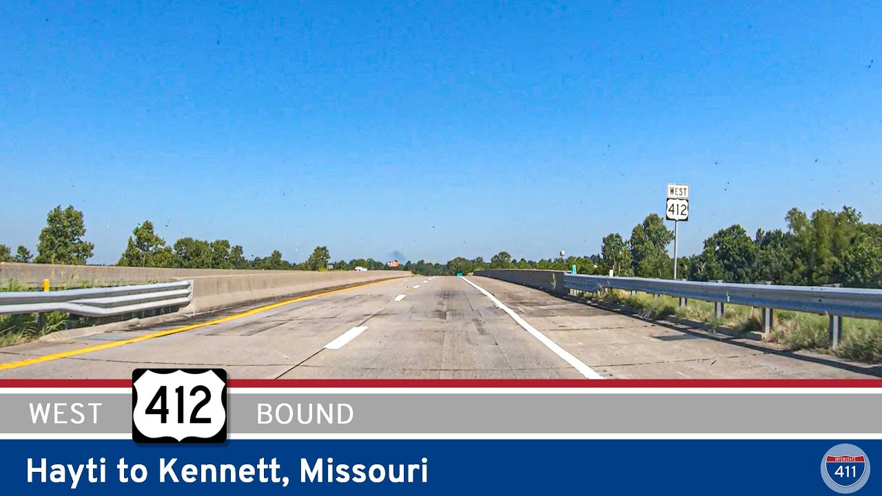
We begin our trip at the intersection with Missouri Route 84 in downtown Kennett, a city known for its deep roots in the cotton and soybean economy. Heading southwest on US-412, we travel through town, passing neighborhoods, small businesses, and eventually reaching a modern roundabout with Supplemental Route VV. This marks the edge of town, where the urban gives way to farmland once again. From here, we make our way out into the wide-open plains that dominate southeastern Missouri. US-412 bypasses the small community of Senath to the southeast, gently curving through some of the flattest terrain in the region.
After intersecting with Missouri Route 108, the route passes between the towns of Arbyrd and Cardwell—small, agricultural towns that remain closely tied to the land. At MO-164, we turn west, skimming just south of Cardwell before bending slightly northeast for our final stretch in Missouri. The St. Francis River marks our transition into Arkansas, and although the bridge is unassuming, it represents a distinct change in landscape and jurisdiction.
Crossing into Arkansas, US-412 passes the southern end of AR-139 almost immediately. The terrain remains relatively flat here, but you’ll start to notice more signs of commercial agriculture and light manufacturing along the way. Over the next four miles, we close in on the outskirts of Paragould—a city that has grown into a regional hub for both manufacturing and retail in Greene County.
As we enter Paragould, US-412 splits, with the main route bypassing the city to the south. We stay straight onto U.S. 412B, a business spur that leads us through the core of town. Along this stretch, we pass various industrial facilities and distribution centers that highlight the economic evolution of the region. Continuing westward, we cross AR-69, which provides a route north toward the industrial part of town or south toward smaller neighborhoods and schools.
The final stretch of this segment leads us deeper into the heart of Paragould. Downtown Paragould isn’t far off as we arrive at the intersection with U.S. Highway 49—the city’s main north-south artery. This junction is a busy crossroads, anchoring Paragould’s central business district and providing access to routes toward Jonesboro or up into Missouri. It’s here, at the stoplight, that we wrap up this drive—having traveled across state lines, through farmland and factory towns, and into one of northeast Arkansas’s most important centers.
🗺️ Route Map
0 Comments