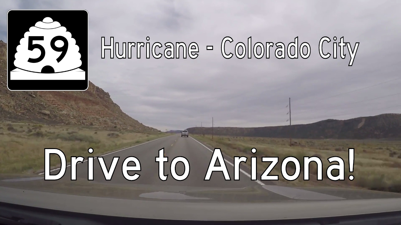
Travel Utah Route 59 from Hurricane to the Arizona border in Colorado City on a 22-mile desert drive through the remote and scenic Arizona Strip. Discover quiet towns, dramatic red cliffs, and the rich, complex history of the region.
Explore the Utah State Highways system—connecting scenic landscapes, small towns, and major cities. Discover how these routes support travel, tourism, and daily life across the Beehive State.
Utah’s state highway system plays a critical role in connecting its diverse terrain—ranging from rugged red rock canyons to snow-covered mountains. Managed by the Utah Department of Transportation (UDOT), the system includes a well-maintained network of routes that complement the Interstates and U.S. Highways, linking small towns, scenic byways, and major metro areas like Salt Lake City, Provo, and St. George. These routes serve local traffic needs while also supporting tourism, agriculture, and outdoor recreation industries.
Utah uses a numbering system where lower numbers often indicate older or more prominent routes, although the correlation is not strict. State Routes (SRs) like SR-12—designated a Scenic Byway—are famous for their breathtaking views through Grand Staircase-Escalante and Bryce Canyon. Others, such as SR-201 and SR-68, provide essential urban and regional connections within the Salt Lake Valley. The network also includes short spur routes and connectors serving parks, towns, and remote areas.
Over time, Utah has decommissioned or renumbered several routes to reflect changing travel demands, often incorporating old alignments into local or scenic networks. UDOT’s commitment to road maintenance and improvement ensures that even lesser-traveled state highways remain viable and safe for residents and travelers alike.
Travel Utah Route 59 from Hurricane to the Arizona border in Colorado City on a 22-mile desert drive through the remote and scenic Arizona Strip. Discover quiet towns, dramatic red cliffs, and the rich, complex history of the region.