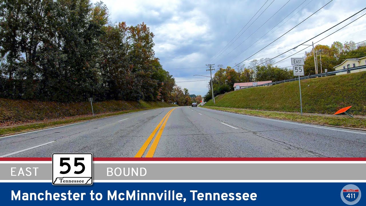
Cruise 26 miles along Tennessee Route 55 from Manchester to McMinnville, passing through peaceful farmland, small towns like Morrison and Smartt, and ending in the scenic nursery capital of Tennessee.
Explore America’s diverse network of state highways—regional routes managed by individual states that connect towns, cities, parks, and scenic landscapes.
State highways form the backbone of regional travel across the United States, offering essential connections between cities, rural communities, and major national routes. Managed by individual state departments of transportation, these highways vary widely in scale—from narrow rural byways to multi-lane expressways rivaling interstates in traffic and speed. While numbering systems and signage conventions differ from state to state, each network plays a critical role in local mobility and economic development.
Unlike the federally designated Interstate and U.S. Highway systems, state highways are developed and maintained at the state level, giving them a unique character and flexibility. Some follow historic paths and scenic corridors, while others serve as modern commuter routes or urban spurs. Many are vital links to state parks, natural attractions, and lesser-known destinations that don’t fall within the national systems.
On this site, we highlight a growing collection of notable state highways, organized by region and state. Whether you’re tracing a scenic loop through the mountains, navigating a fast-moving corridor through a metro area, or exploring forgotten rural routes, our guides offer detailed overviews, and video journeys to help you plan your next adventure.
State Departments of Transportation use different terminology for their designated road systems, with some states using “state highway,” others “state road,” and still others “state route.” These distinctions, though seemingly minor, often reflect historical and legislative traditions within each state. The choice of a particular term can be tied to the legal language used when the road network was first established or expanded. For example, a state might have initially defined its network as a “system of highways” for commerce and travel, while another may have focused on creating a “system of roads” for local and inter-city connections. The term “state route” is often a more modern designation that emphasizes a specific numbered path for navigation rather than the physical characteristics or purpose of the road itself. While the exact reasoning for each state’s choice is complex and rooted in its unique history, the map on the right provides a visual guide to which term is used where.

Cruise 26 miles along Tennessee Route 55 from Manchester to McMinnville, passing through peaceful farmland, small towns like Morrison and Smartt, and ending in the scenic nursery capital of Tennessee.
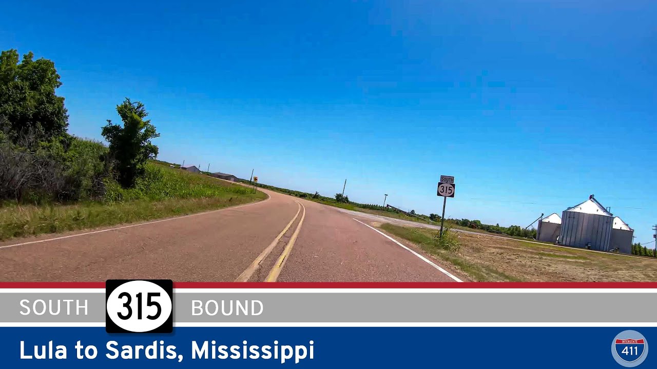
Travel Mississippi Highway 315 from Rich to Sardis and explore 34 miles of Delta farmland, small-town charm, and rolling hills. A quiet, scenic drive through the heart of northwestern Mississippi.
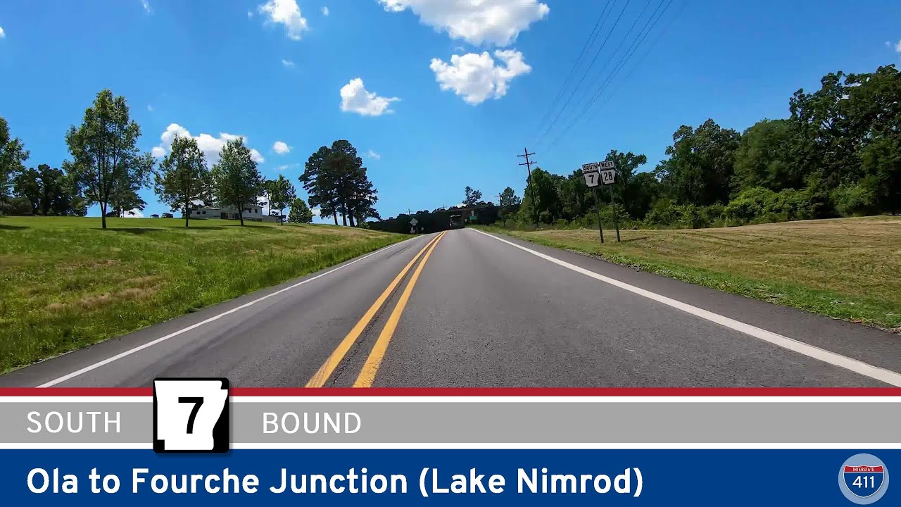
Cruise 8 scenic miles along Arkansas Highway 7 from Ola to Fourche Junction. This short but beautiful mountain drive climbs and descends Ola Mountain, offering forest views and access to Nimrod Lake recreation areas.
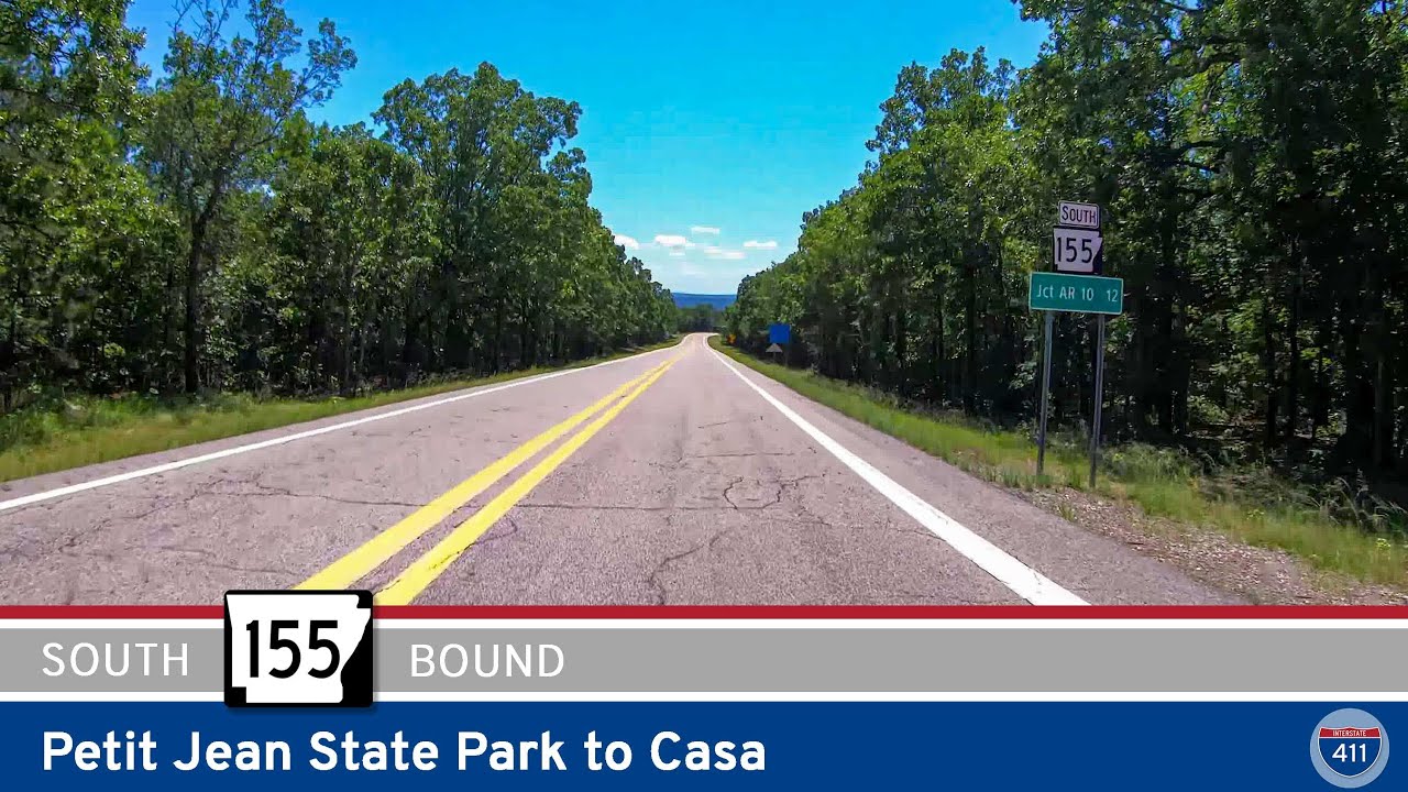
Take a scenic and winding 12-mile drive along Arkansas Highway 155 from Petit Jean State Park to Casa. From mountain switchbacks to rural farmland, this short route offers breathtaking views and challenging grades for adventurous drivers.
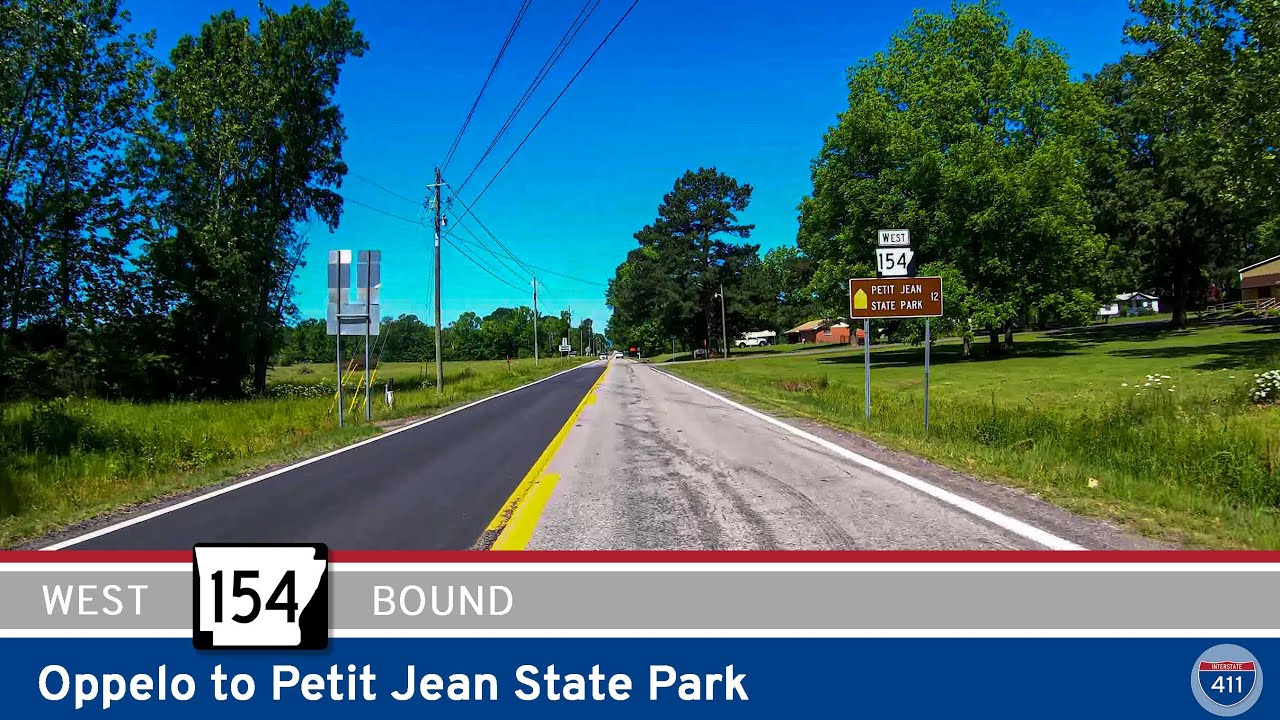
Explore the scenic drive along Arkansas Highway 154 from Oppelo to Petit Jean State Park. This 12-mile route climbs Petit Jean Mountain and leads to waterfalls, overlooks, and the heart of Arkansas’s first state park.
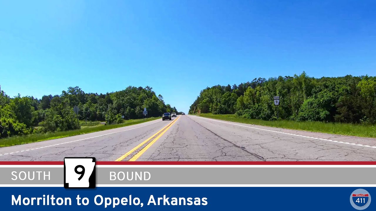
Drive 5 miles south on Arkansas Highway 9 from Morrilton to Oppelo, crossing the scenic Arkansas River and open farmland before reaching the junction with AR-154 near Petit Jean State Park.
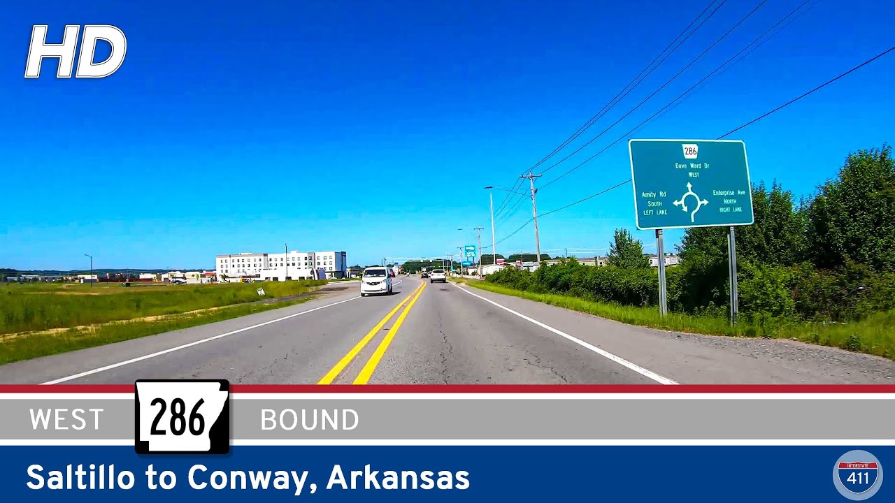
Travel 6 miles west along Arkansas Highway 286 from Saltillo to Conway, passing through forested creek lands before entering the urban energy of Conway via Dave Ward Drive. From rural peace to city bustle in just minutes — see how this short route connects two distinc…
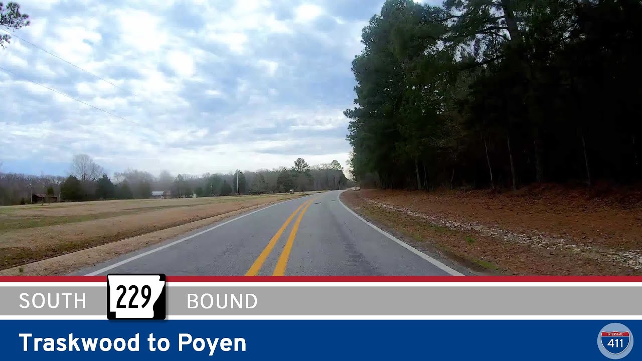
Take a scenic 10-mile drive along Arkansas Highway 229 from Traskwood to Poyen, passing through the quiet community of Fenter and into the wooded heart of Grant County. A peaceful rural route with local charm and connections to U.S. 270.
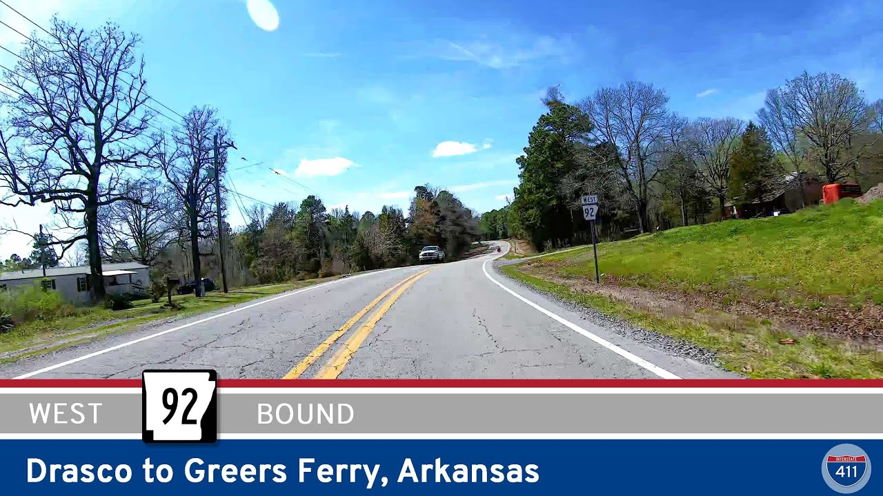
Take a scenic 14-mile drive along Arkansas Highway 92 from Drasco to Greers Ferry, passing forested landscapes, lake views, and small-town charm. This route offers a tranquil journey through the Ozarks with access to Greers Ferry Lake and nearby recreational areas.
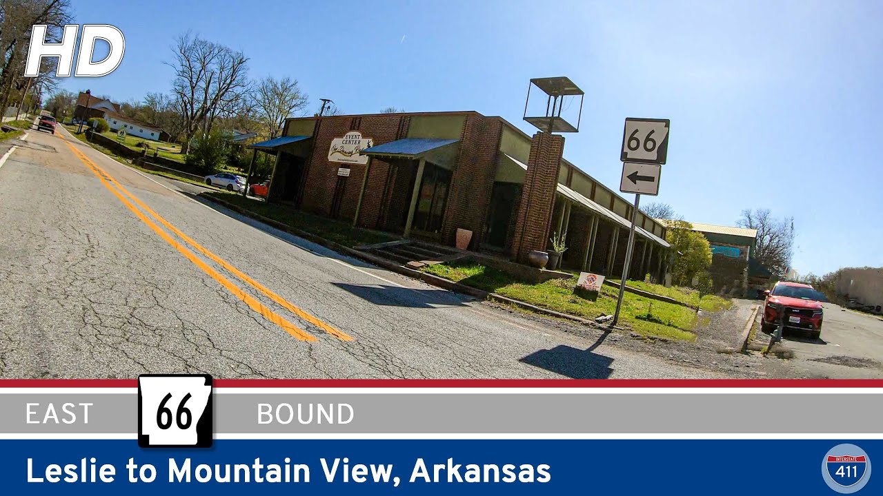
Travel Arkansas Highway 66 from Leslie to Mountain View for 30 miles of scenic Ozark beauty. This winding two-lane road passes through historic towns, forests, and rural landscapes, ending in the folk music capital of Arkansas.
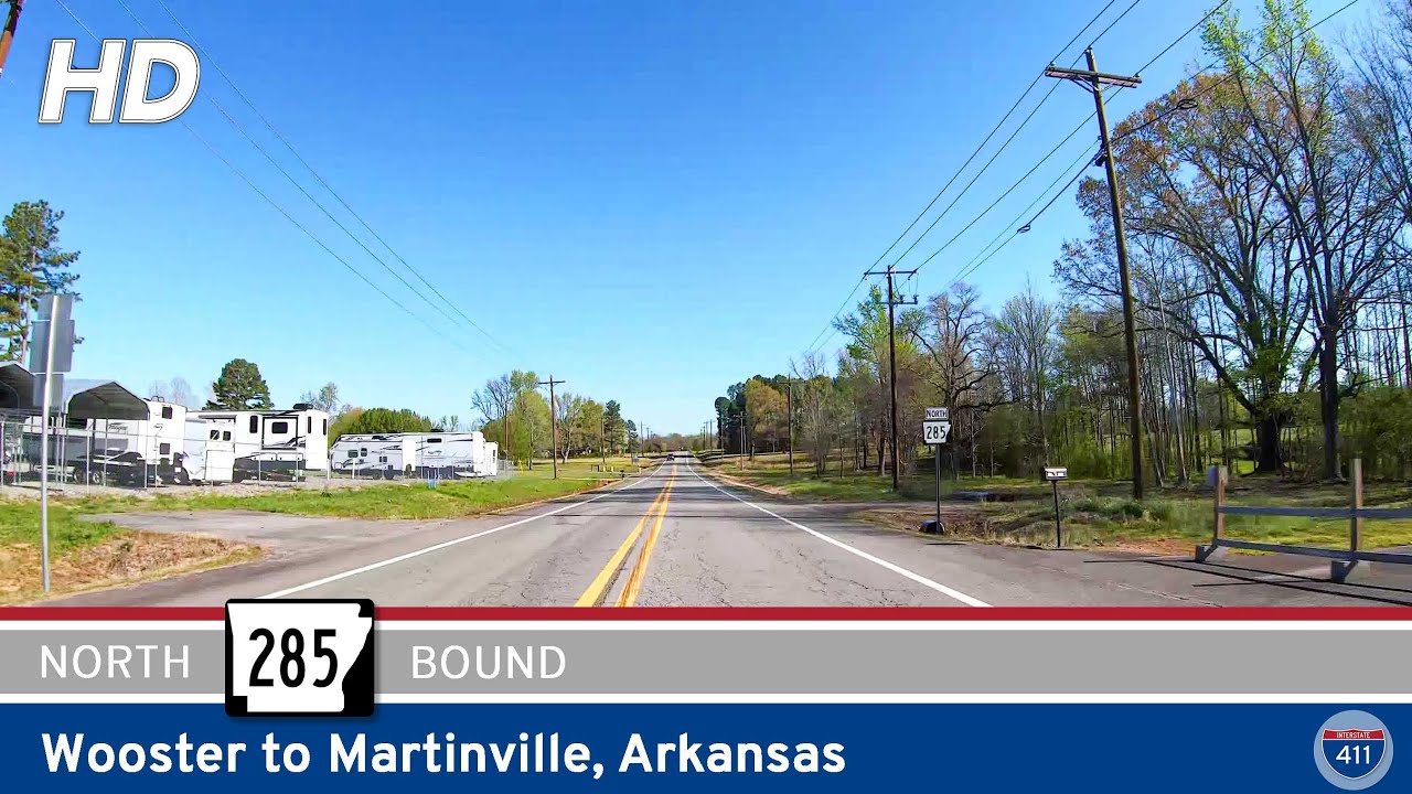
Take a scenic 10-mile drive along Arkansas Highway 285 from Wooster to Martinville, passing through Shady Grove, Twin Groves, and over Cadron Creek in this quiet Faulkner County route.
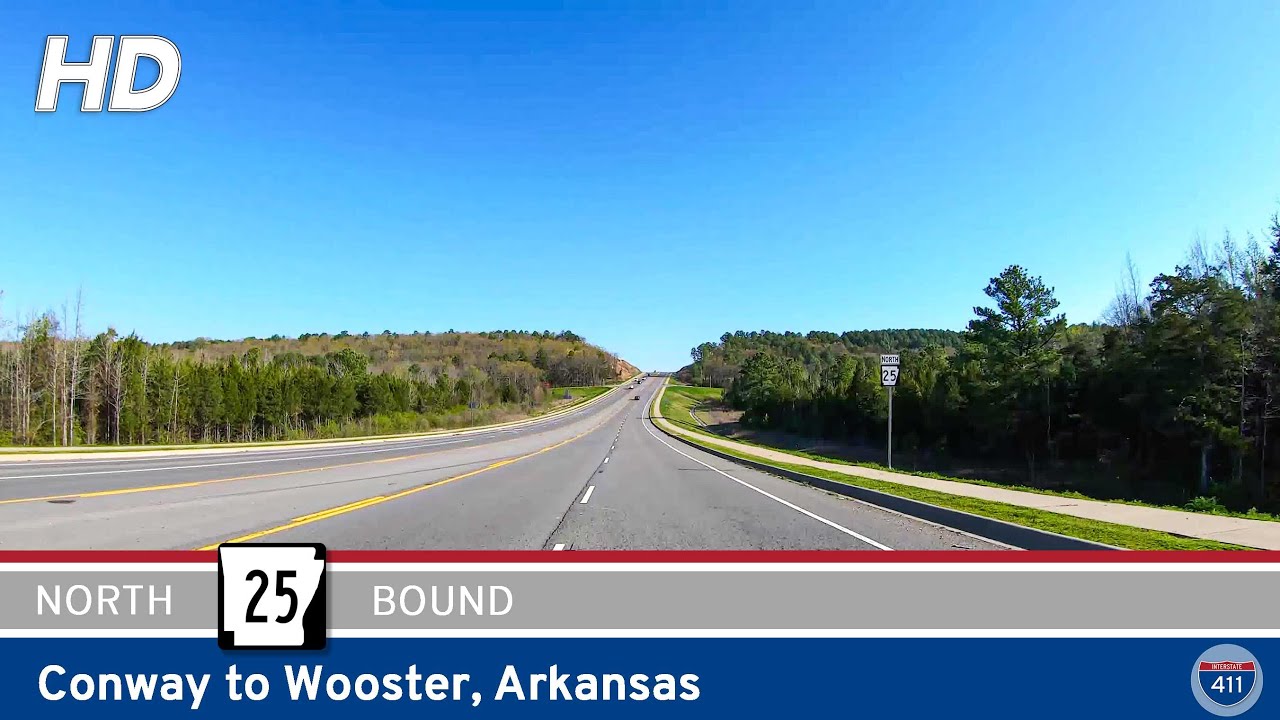
Cruise through central Arkansas on a scenic 6-mile stretch of Arkansas Highway 25 from Conway to Wooster. Pass by Beaverfork Lake and enjoy quiet countryside views as this short but vital route connects I-40 travelers to rural Faulkner County.