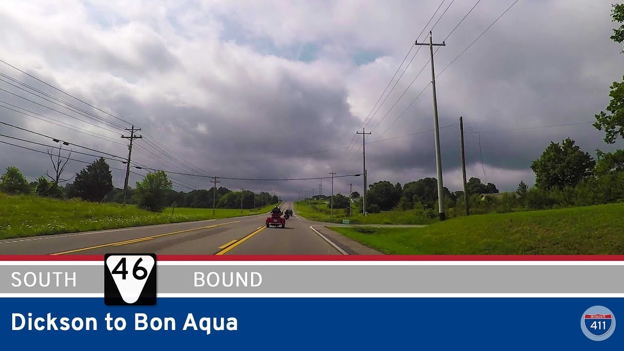
Take a peaceful 7-mile drive along Tennessee Route 46 from Dickson to Bon Aqua. Explore rural scenery, local industry, and rolling farmland on this quiet but essential connector in central Tennessee.
Explore America’s diverse network of state highways—regional routes managed by individual states that connect towns, cities, parks, and scenic landscapes.
State highways form the backbone of regional travel across the United States, offering essential connections between cities, rural communities, and major national routes. Managed by individual state departments of transportation, these highways vary widely in scale—from narrow rural byways to multi-lane expressways rivaling interstates in traffic and speed. While numbering systems and signage conventions differ from state to state, each network plays a critical role in local mobility and economic development.
Unlike the federally designated Interstate and U.S. Highway systems, state highways are developed and maintained at the state level, giving them a unique character and flexibility. Some follow historic paths and scenic corridors, while others serve as modern commuter routes or urban spurs. Many are vital links to state parks, natural attractions, and lesser-known destinations that don’t fall within the national systems.
On this site, we highlight a growing collection of notable state highways, organized by region and state. Whether you’re tracing a scenic loop through the mountains, navigating a fast-moving corridor through a metro area, or exploring forgotten rural routes, our guides offer detailed overviews, and video journeys to help you plan your next adventure.
State Departments of Transportation use different terminology for their designated road systems, with some states using “state highway,” others “state road,” and still others “state route.” These distinctions, though seemingly minor, often reflect historical and legislative traditions within each state. The choice of a particular term can be tied to the legal language used when the road network was first established or expanded. For example, a state might have initially defined its network as a “system of highways” for commerce and travel, while another may have focused on creating a “system of roads” for local and inter-city connections. The term “state route” is often a more modern designation that emphasizes a specific numbered path for navigation rather than the physical characteristics or purpose of the road itself. While the exact reasoning for each state’s choice is complex and rooted in its unique history, the map on the right provides a visual guide to which term is used where.

Take a peaceful 7-mile drive along Tennessee Route 46 from Dickson to Bon Aqua. Explore rural scenery, local industry, and rolling farmland on this quiet but essential connector in central Tennessee.

Take a peaceful drive along Tennessee Highway 46 from the Natchez Trace Parkway into Leiper’s Fork. This 2-mile route offers scenic views, rural charm, and a gateway into one of Tennessee’s most vibrant artistic communities.
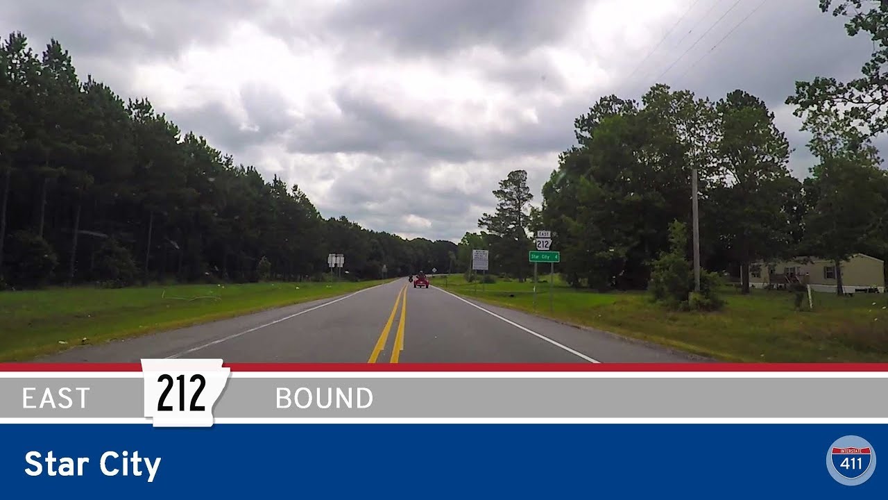
Take a peaceful 4-mile drive along Arkansas Highway 212 through wooded curves and quiet neighborhoods on the northwest side of Star City. This short connector route links future I-530 to AR-114, offering a glimpse into rural and residential life in Lincoln County.

Explore a 2.4-mile stretch of Arkansas Highway 365 through North Little Rock, from I-40 in Levy to the edge of the Arkansas River. This brief but dynamic drive passes historic neighborhoods, industrial corridors, and the Union Pacific Rail Yard, capturing the spirit of …
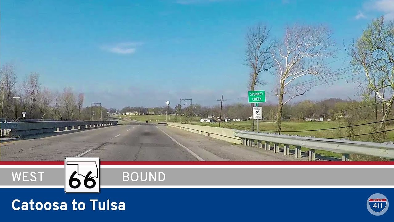
Explore a short but iconic stretch of Historic Route 66 from Catoosa to Tulsa, Oklahoma, starting at the Blue Whale and ending near Admiral Avenue. This 3-mile drive blends roadside Americana with modern Oklahoma charm.
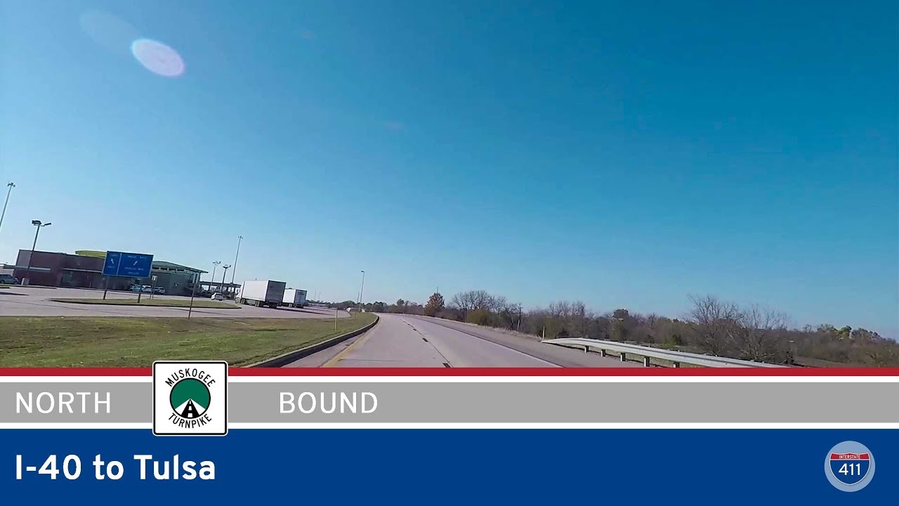
Take a 53-mile drive along the Muskogee Turnpike from Webbers Falls to Tulsa, Oklahoma. Follow this scenic expressway through farmland, Muskogee, and into Broken Arrow as it connects I-40 to the Tulsa metro.
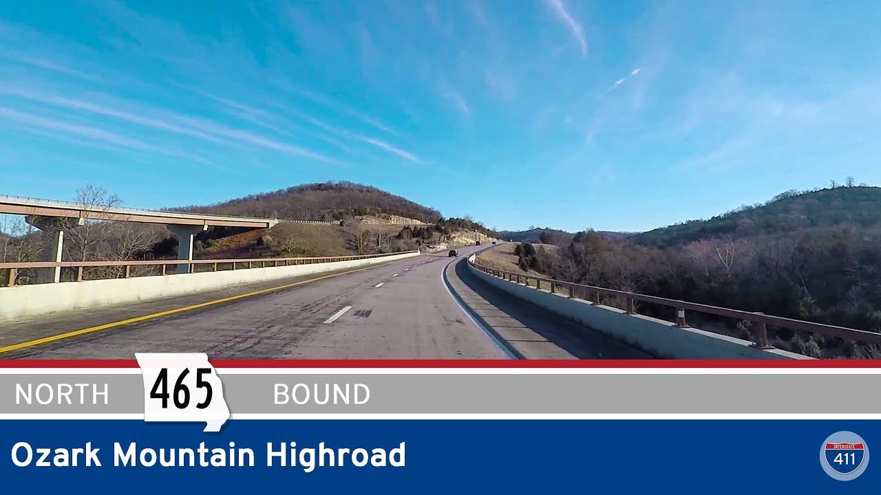
Cruise Missouri’s Ozark Mountain Highroad (MO-465) on this 8-mile scenic bypass north of Branson. Enjoy panoramic views, forested ridgelines, and a peaceful alternative to the busy strip below.

Take the scenic Ozark Mountain Highroad south along Missouri Highway 76 in Branson, Missouri. Formerly MO-465, this 8-mile expressway blends modern efficiency with sweeping views of the Ozarks.
![Missouri Supplemental Route Z: Powellville to St. Robert [Hooker Cut – Rt 66]](https://openroadarchive.com/wp-content/uploads/2025/06/d5kfdgt7weomaxresdefault.jpg)
Travel Missouri Route Z from Powellville to St. Robert and discover Hooker Cut, Devils Elbow, and classic Route 66 charm. This short but scenic drive offers engineering history, river views, and quirky roadside attractions.
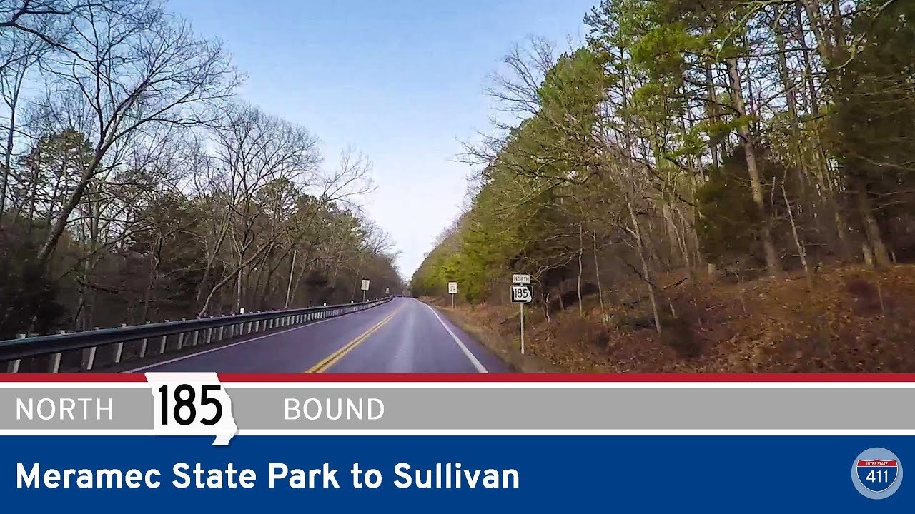
Follow Missouri Route 185 north from Meramec State Park to Sullivan in this short, scenic drive that bridges quiet forest roads with Historic Route 66. A perfect slice of Ozark charm.
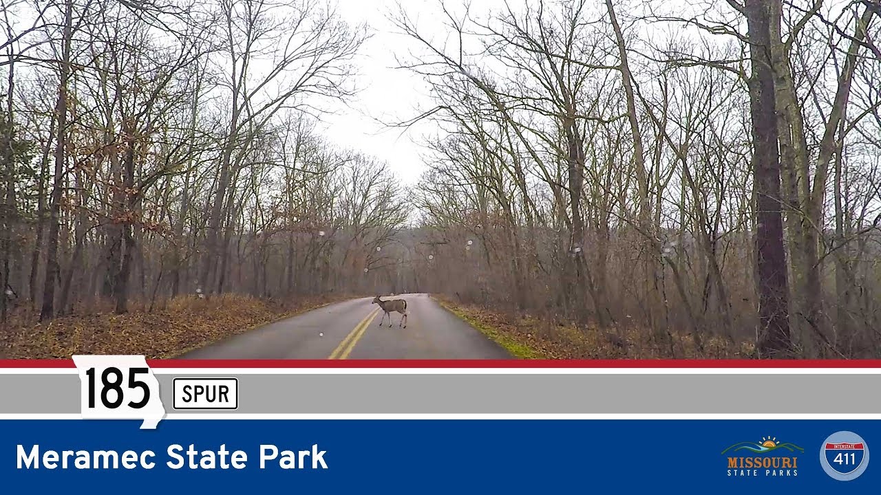
Take a peaceful drive through Meramec State Park via Missouri Highway 185 Spur, a 6-mile loop featuring forested hollows, deer sightings, river access, and Fisher Cave. Explore the natural beauty of this scenic Ozark retreat near Sullivan, Missouri.
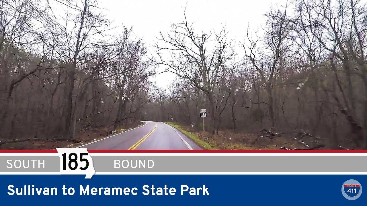
Explore Missouri Route 185 from Sullivan to Meramec State Park on this short but scenic 3.5-mile drive through the Ozarks. From historic Route 66 to forested parkland, discover a gateway to nature and relaxation.