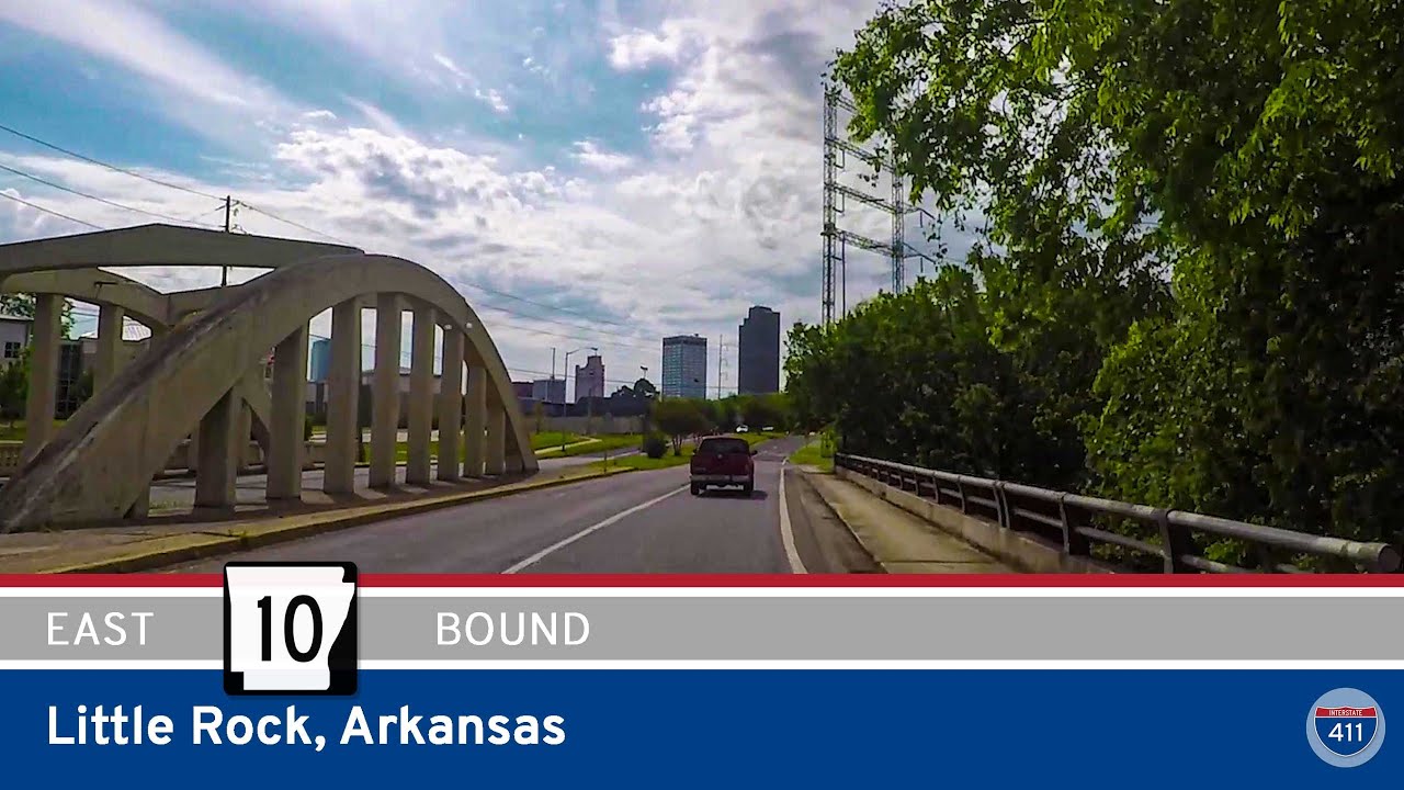
Explore 14 miles of Arkansas Highway 10 eastbound through Little Rock, from scenic hilltop neighborhoods to the historic River Market District. This urban route blends natural beauty with city landmarks, tracing part of old U.S. Route 70.
Explore America’s diverse network of state highways—regional routes managed by individual states that connect towns, cities, parks, and scenic landscapes.
State highways form the backbone of regional travel across the United States, offering essential connections between cities, rural communities, and major national routes. Managed by individual state departments of transportation, these highways vary widely in scale—from narrow rural byways to multi-lane expressways rivaling interstates in traffic and speed. While numbering systems and signage conventions differ from state to state, each network plays a critical role in local mobility and economic development.
Unlike the federally designated Interstate and U.S. Highway systems, state highways are developed and maintained at the state level, giving them a unique character and flexibility. Some follow historic paths and scenic corridors, while others serve as modern commuter routes or urban spurs. Many are vital links to state parks, natural attractions, and lesser-known destinations that don’t fall within the national systems.
On this site, we highlight a growing collection of notable state highways, organized by region and state. Whether you’re tracing a scenic loop through the mountains, navigating a fast-moving corridor through a metro area, or exploring forgotten rural routes, our guides offer detailed overviews, and video journeys to help you plan your next adventure.
State Departments of Transportation use different terminology for their designated road systems, with some states using “state highway,” others “state road,” and still others “state route.” These distinctions, though seemingly minor, often reflect historical and legislative traditions within each state. The choice of a particular term can be tied to the legal language used when the road network was first established or expanded. For example, a state might have initially defined its network as a “system of highways” for commerce and travel, while another may have focused on creating a “system of roads” for local and inter-city connections. The term “state route” is often a more modern designation that emphasizes a specific numbered path for navigation rather than the physical characteristics or purpose of the road itself. While the exact reasoning for each state’s choice is complex and rooted in its unique history, the map on the right provides a visual guide to which term is used where.

Explore 14 miles of Arkansas Highway 10 eastbound through Little Rock, from scenic hilltop neighborhoods to the historic River Market District. This urban route blends natural beauty with city landmarks, tracing part of old U.S. Route 70.
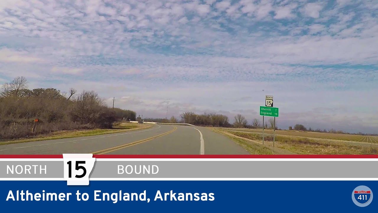
Drive 19 miles along Arkansas Highway 15 from Altheimer to England through farmland, historic communities like Sherrill and Tucker, and the quiet heart of the Arkansas Delta. A peaceful rural route rich in history and agriculture.

Explore 21 miles of Arkansas Delta country as we drive AR-35 from Dermott to Monticello. This rural route links small towns, farmland, and the future I-69 corridor in southeast Arkansas.

Cruise 21 miles through southeast Arkansas on AR-35 from Monticello to Dermott. This peaceful two-lane route crosses the future path of I-69 and passes through Cominto and Baxter before arriving in historic Dermott.
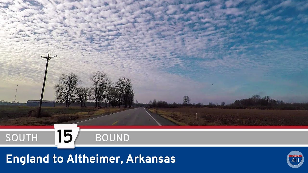
Drive 19 miles through Arkansas’s Delta farmland along Highway 15 from England to Altheimer. Explore small towns like Tucker and Sherrill while following a route steeped in agricultural history and quiet scenic beauty.
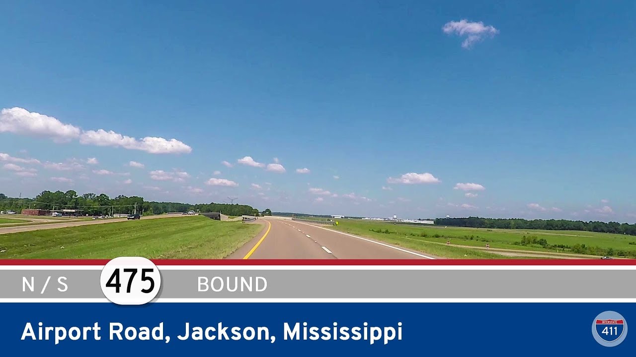
Drive both directions on Mississippi Highway 475 – Airport Road – through the heart of suburban Jackson, MS. This key connector serves the Jackson-Medgar Wiley Evers International Airport and links MS-468 to US-80 in Flowood.
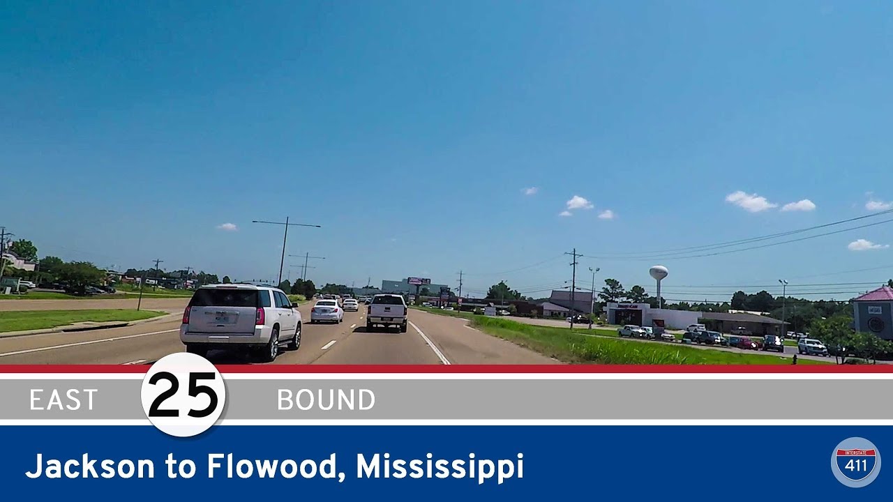
Drive 3.5 miles along Mississippi Highway 25 (Lakeland Drive) from Jackson to Flowood, passing LeFleur’s Bluff State Park and crossing the Pearl River into a growing suburb full of shopping and dining.
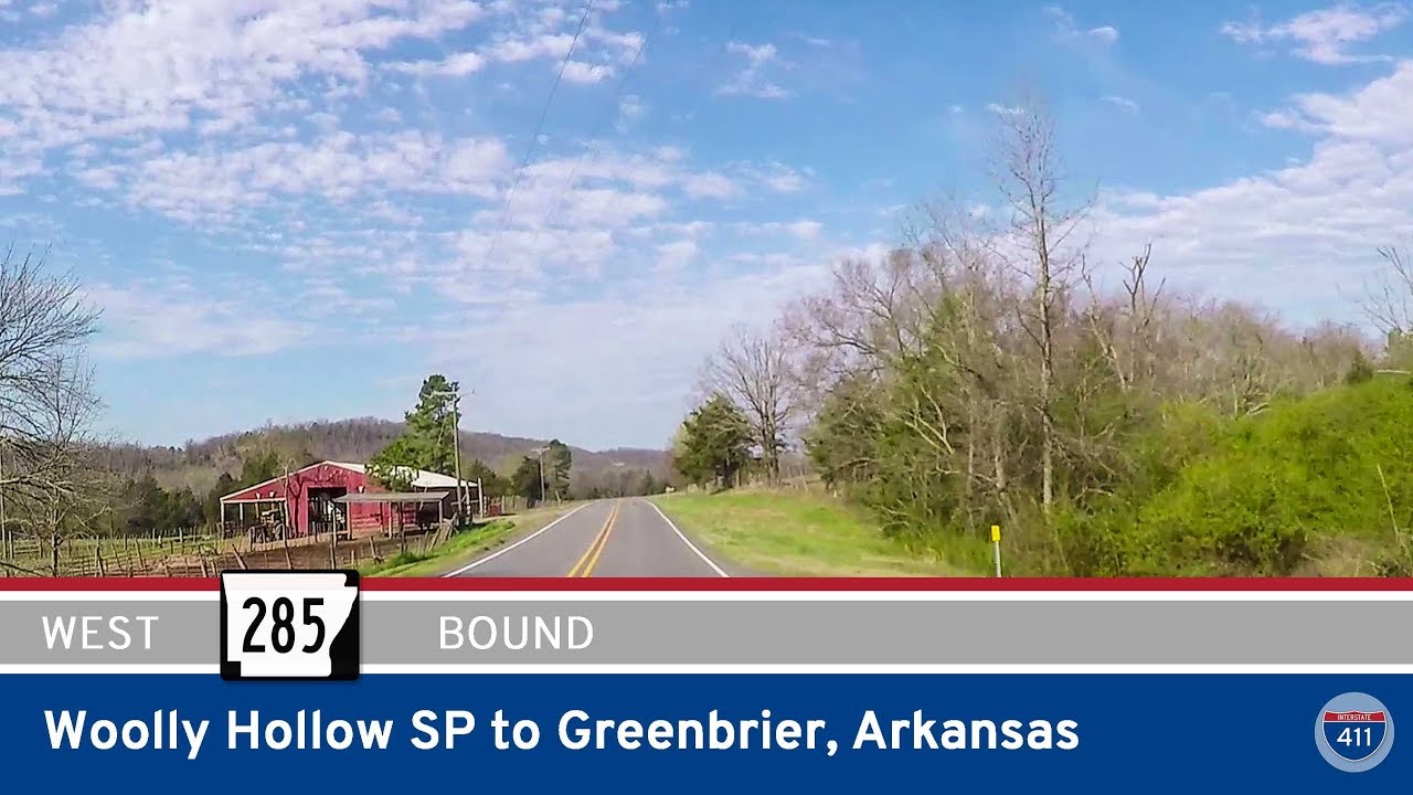
Take a scenic 6-mile drive west on Arkansas Highway 285 from Woolly Hollow State Park to Greenbrier. This short but beautiful route winds through forested foothills and rural landscapes before reaching U.S. Highway 65 near Greenbrier.
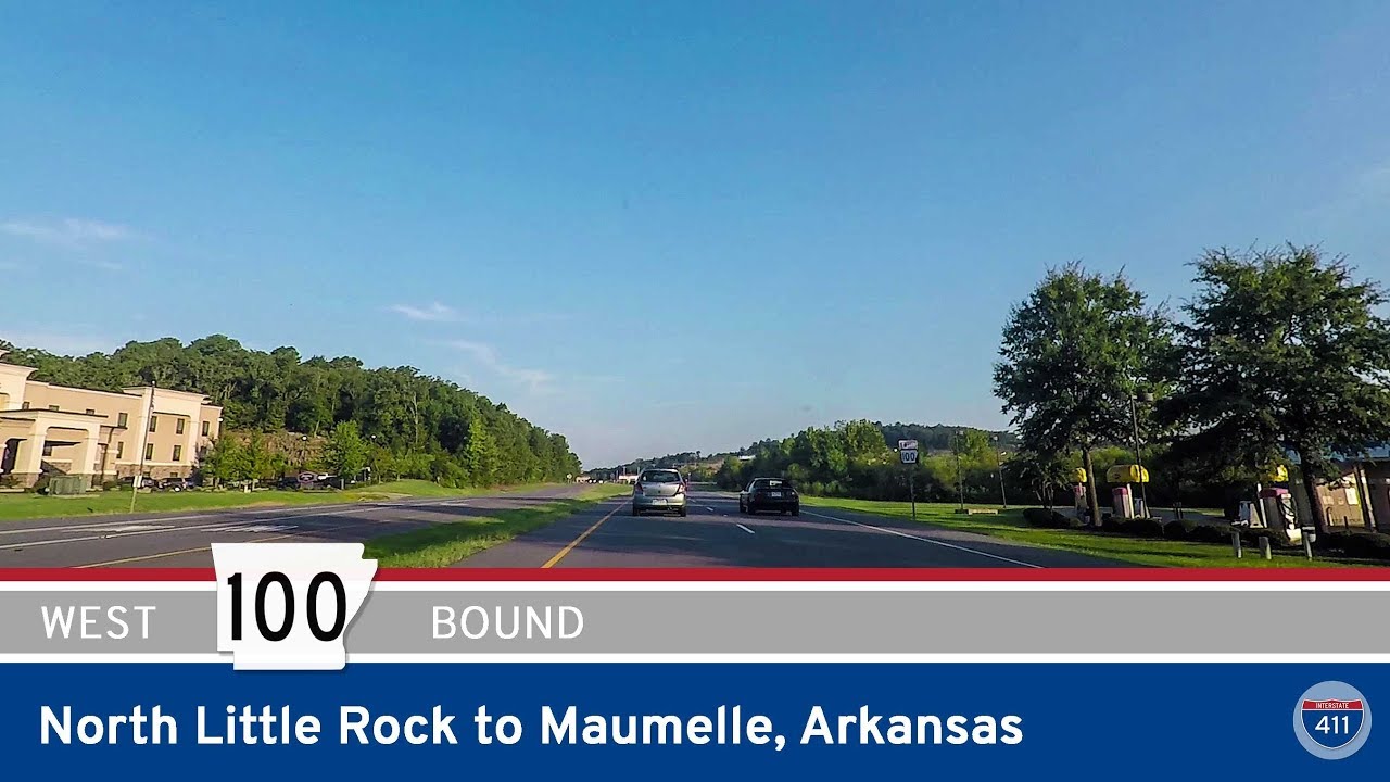
Take a ride along Arkansas Highway 100 west from North Little Rock to Maumelle. Explore this suburban connector’s key intersections, new I-40 access, and gateway into one of Central Arkansas’s most well-planned communities.
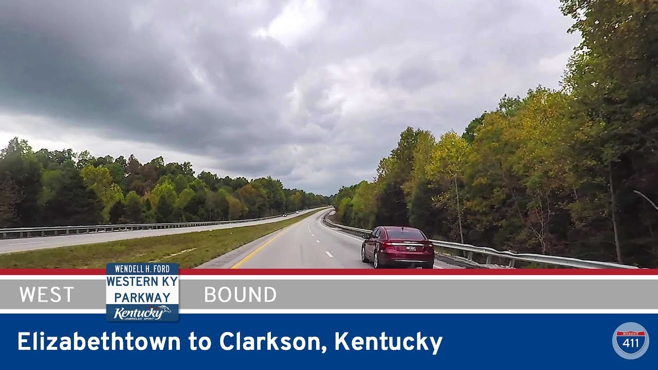
Cruise 25 miles west along the Western Kentucky Parkway from Elizabethtown to Clarkson. This quiet, scenic route through farmland and wooded countryside is a peaceful drive through the heart of central Kentucky.

Drive 5 miles along Arkansas Highway 100 from Maumelle to North Little Rock, passing suburban neighborhoods, key intersections like Counts Massie Road, and ending at I-430. A vital suburban connector in central Arkansas.
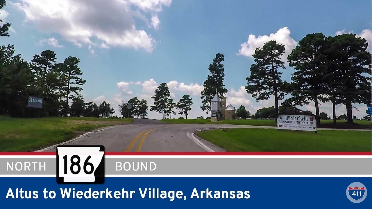
Explore Arkansas Highway 186 from Altus to Wiederkehr Village—a scenic 3-mile drive through Arkansas wine country. Pass historic vineyards, climb St. Mary’s Mountain, and visit one of the state’s oldest churches along the way.