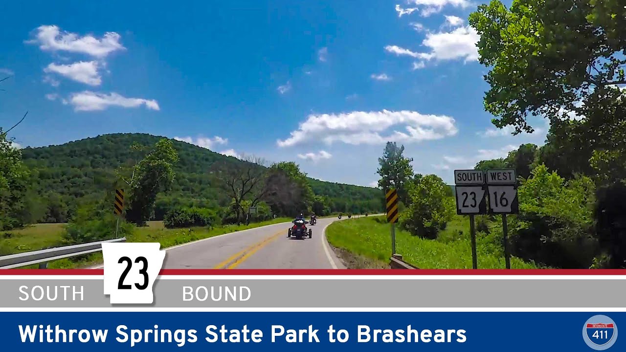
Take a 30-mile journey through the Ozark foothills on Arkansas Highway 23 from Withrow Springs State Park to Brashears. This scenic route passes through Huntsville, Witter, and St. Paul, ending where the Pig Trail Scenic Byway begins.
Explore America’s diverse network of state highways—regional routes managed by individual states that connect towns, cities, parks, and scenic landscapes.
State highways form the backbone of regional travel across the United States, offering essential connections between cities, rural communities, and major national routes. Managed by individual state departments of transportation, these highways vary widely in scale—from narrow rural byways to multi-lane expressways rivaling interstates in traffic and speed. While numbering systems and signage conventions differ from state to state, each network plays a critical role in local mobility and economic development.
Unlike the federally designated Interstate and U.S. Highway systems, state highways are developed and maintained at the state level, giving them a unique character and flexibility. Some follow historic paths and scenic corridors, while others serve as modern commuter routes or urban spurs. Many are vital links to state parks, natural attractions, and lesser-known destinations that don’t fall within the national systems.
On this site, we highlight a growing collection of notable state highways, organized by region and state. Whether you’re tracing a scenic loop through the mountains, navigating a fast-moving corridor through a metro area, or exploring forgotten rural routes, our guides offer detailed overviews, and video journeys to help you plan your next adventure.
State Departments of Transportation use different terminology for their designated road systems, with some states using “state highway,” others “state road,” and still others “state route.” These distinctions, though seemingly minor, often reflect historical and legislative traditions within each state. The choice of a particular term can be tied to the legal language used when the road network was first established or expanded. For example, a state might have initially defined its network as a “system of highways” for commerce and travel, while another may have focused on creating a “system of roads” for local and inter-city connections. The term “state route” is often a more modern designation that emphasizes a specific numbered path for navigation rather than the physical characteristics or purpose of the road itself. While the exact reasoning for each state’s choice is complex and rooted in its unique history, the map on the right provides a visual guide to which term is used where.

Take a 30-mile journey through the Ozark foothills on Arkansas Highway 23 from Withrow Springs State Park to Brashears. This scenic route passes through Huntsville, Witter, and St. Paul, ending where the Pig Trail Scenic Byway begins.
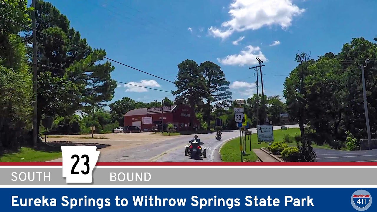
Drive 20 scenic miles along Arkansas Highway 23 from historic Eureka Springs to Withrow Springs State Park. This wooded stretch of highway passes Turpentine Creek Wildlife Refuge and the McIlroy Wildlife Management Area, making it a beautiful Ozark escape.
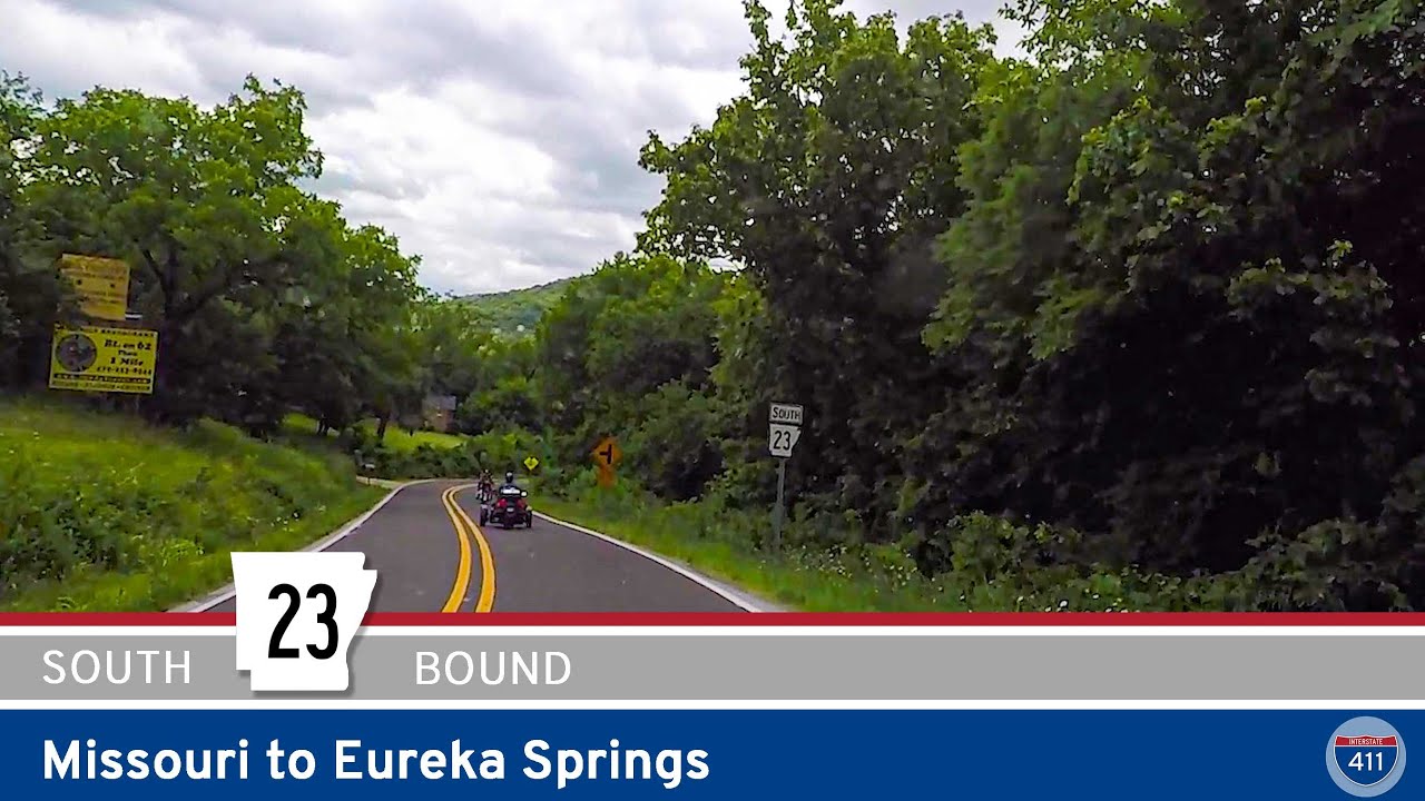
Drive 11 miles south along Arkansas Highway 23 from the Missouri state line to Eureka Springs. This scenic stretch winds through forested Ozark hills, passes by Holiday Island, and enters the heart of historic Eureka Springs. A short but unforgettable mountain drive.
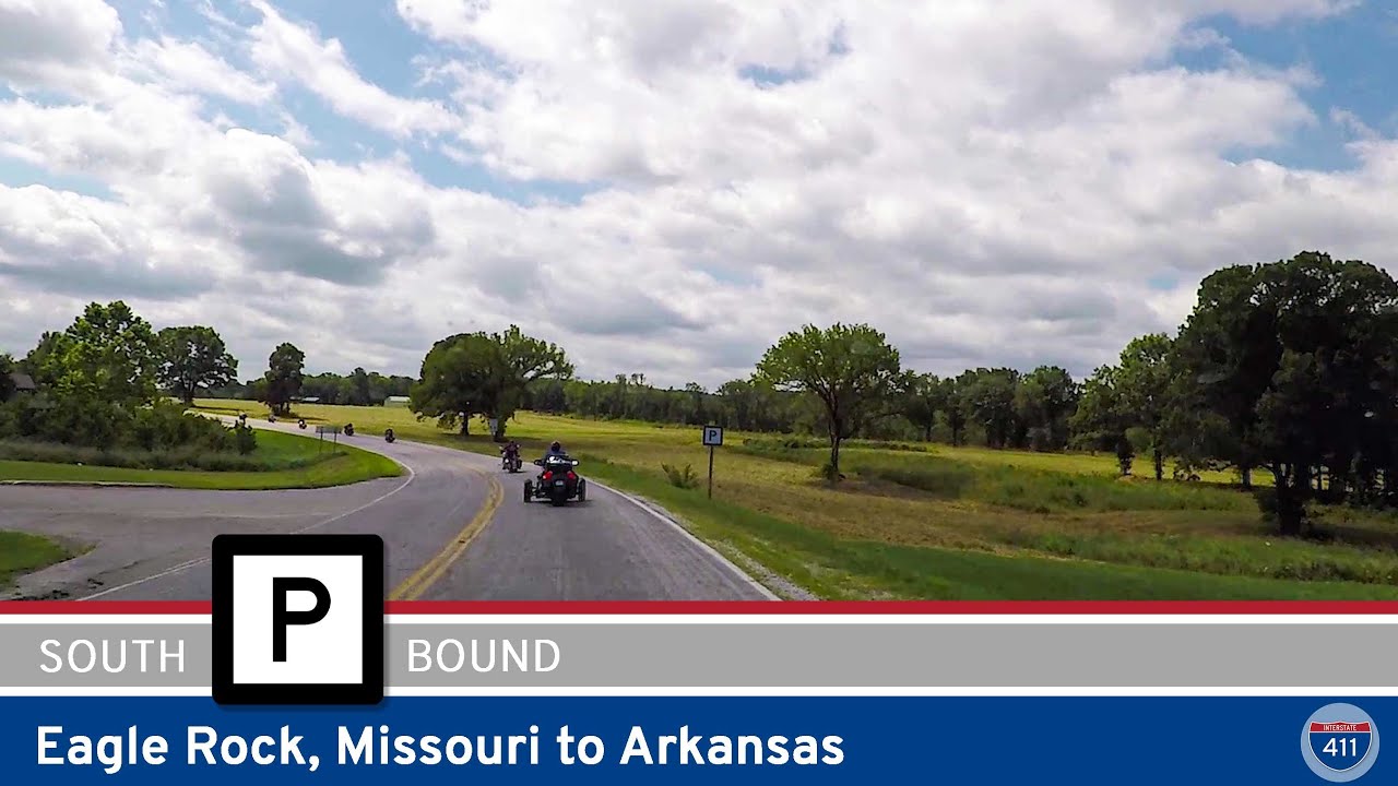
Take a short but scenic drive along Missouri Supplemental Route P, from Route 86 west of Eagle Rock to the Arkansas state line. This quiet connector marks the beginning of the legendary Arkansas Highway 23, known for its winding path through the Ozarks and the Pig Trail…
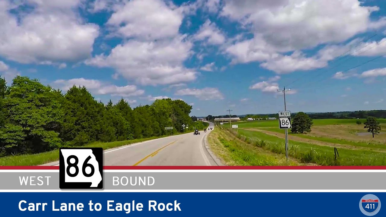
Explore the 9-mile stretch of Missouri State Route 86 from Carr Lane to Eagle Rock. This scenic Ozark drive near the Arkansas border winds through forest, farmland, and the recreational hub of Golden, Missouri.
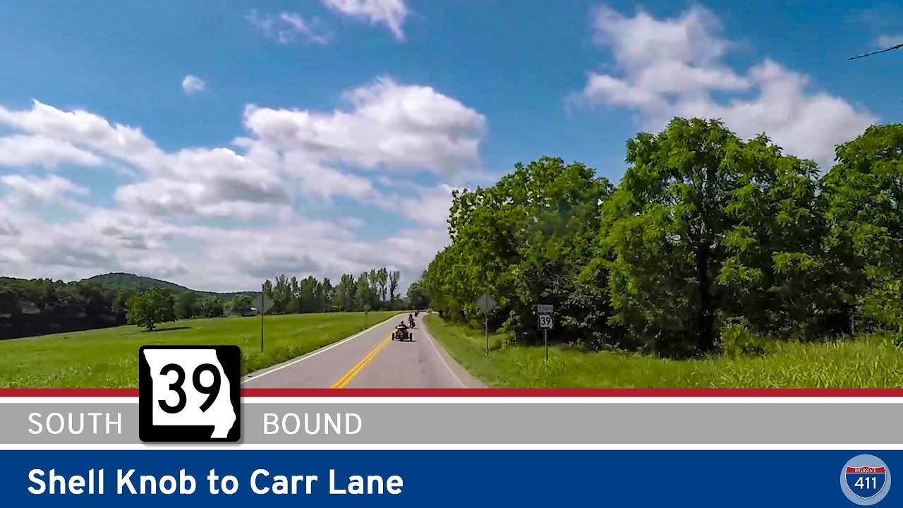
Travel 13 miles along Missouri Route 39 from Shell Knob to Carr Lane, featuring a scenic Table Rock Lake crossing, wooded Ozark landscapes, and a peaceful drive through rural Barry County.
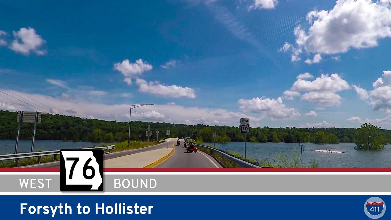
Explore 12 miles of Missouri Route 76 from Forsyth to Hollister, including scenic views, wooded hills, and access to Lake Taneycomo. This route blends quiet Ozark towns with growing Branson suburbs.

Explore Missouri Route 125 from the Arkansas border to Rueter—a 10-mile scenic drive through the quiet forests and farmland of the Ozarks. Discover small towns, peaceful curves, and a tranquil rural atmosphere along the way.
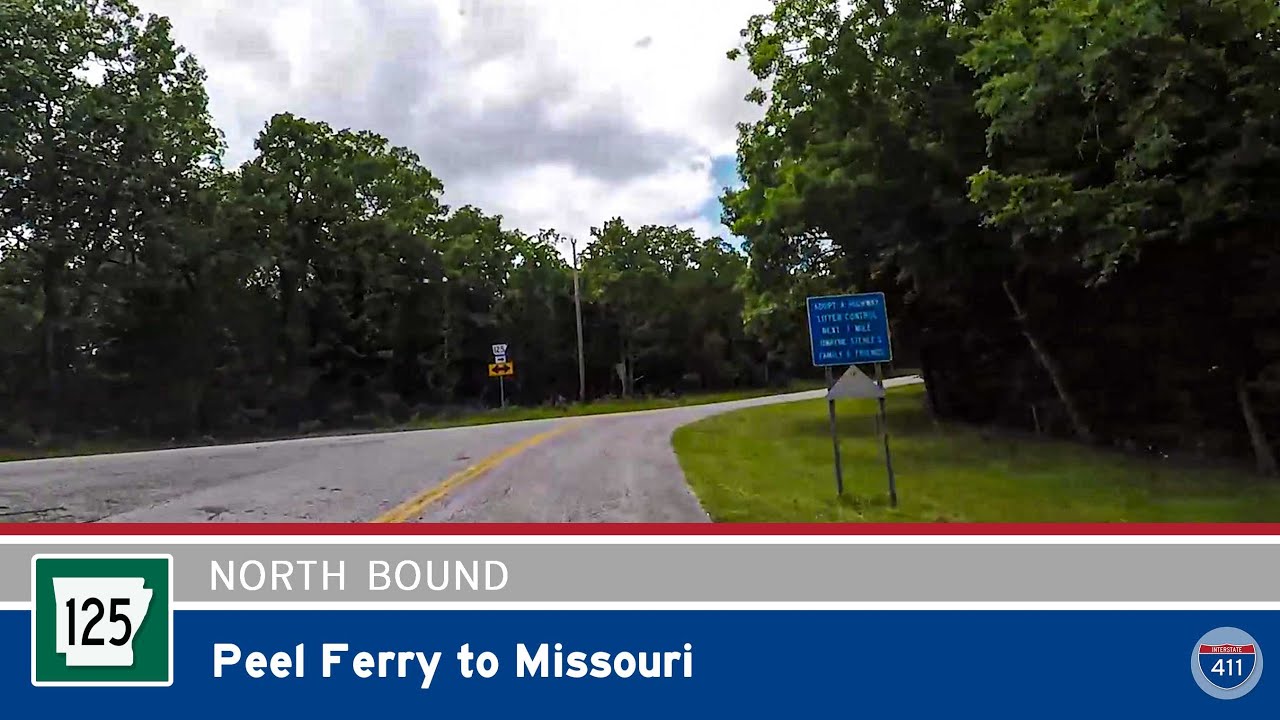
Take a ride on Arkansas’s last free ferry with this short but scenic drive along Highway 125 from the Peel Ferry landing to the Missouri border. This rare route combines water, woods, and Ozark charm — all in a single mile.
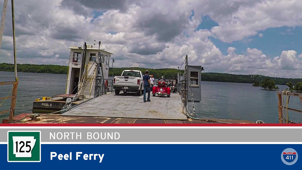
Cross Bull Shoals Lake aboard Arkansas Highway 125’s Peel Ferry — Arkansas’s last public ferry. This unique mile-long crossing delivers scenic views, peaceful waters, and a one-of-a-kind Ozarks driving experience.
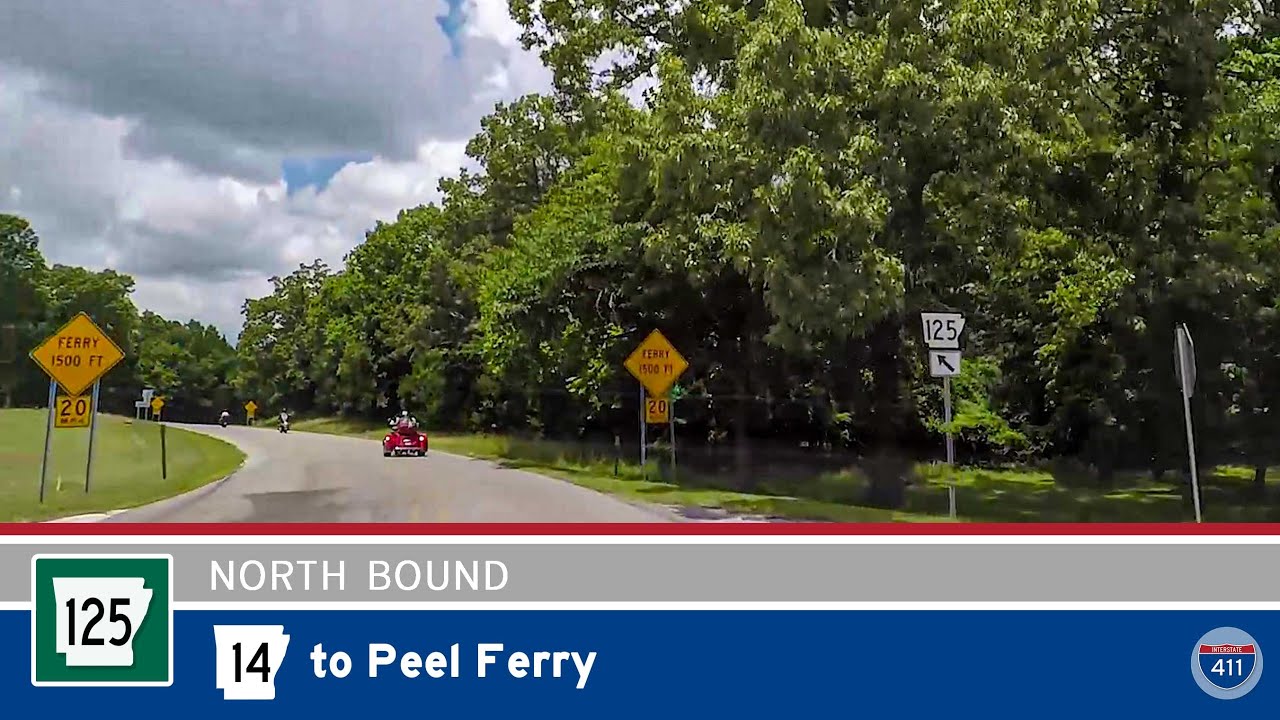
Travel 12 scenic miles along Arkansas Highway 125 from Highway 14 to the Peel Ferry on Bull Shoals Lake. Winding through forested hills and quiet communities, this tranquil drive ends at Arkansas’s last remaining highway ferry crossing.
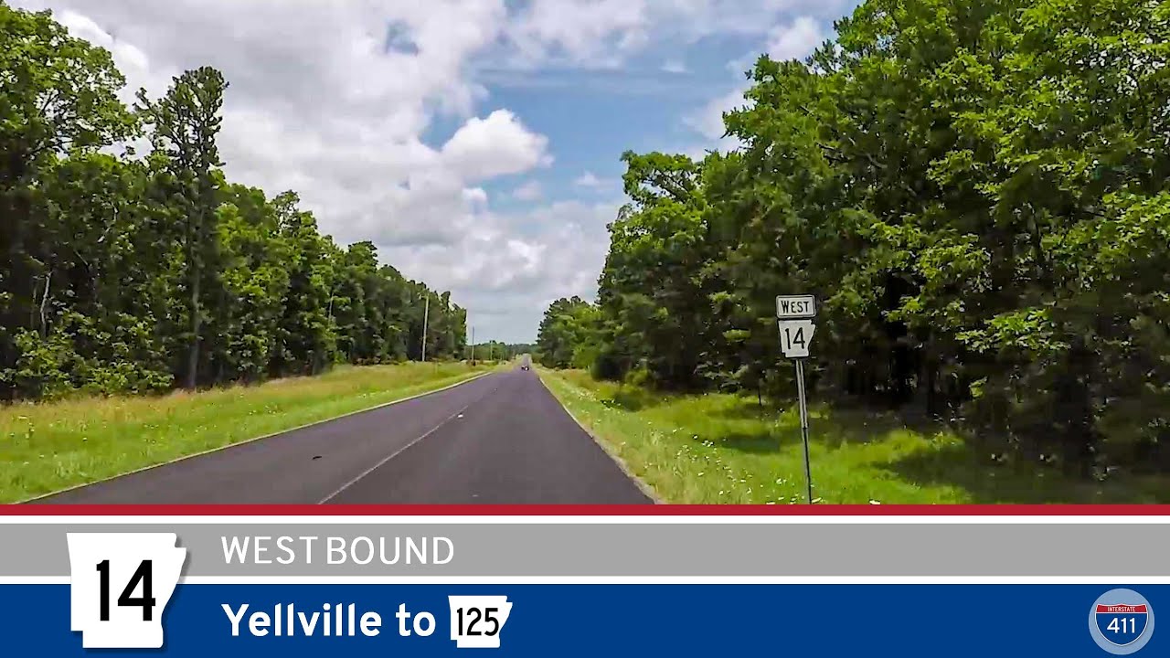
Travel 15 peaceful miles along Arkansas Highway 14 from Yellville to AR-125. This winding Ozark route offers small-town charm, mountain views, and wooded serenity just north of the Buffalo River region.