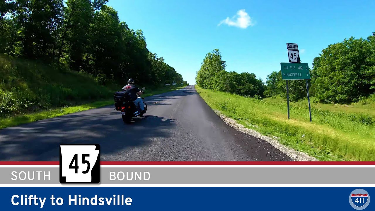
Cruise down Arkansas Highway 45 from Clifty to Hindsville for 6 miles of peaceful Ozark countryside. This short stretch mixes forested hills, open farmland, and a laid-back rural vibe — perfect for a quick escape into northwest Arkansas scenery.
Explore America’s diverse network of state highways—regional routes managed by individual states that connect towns, cities, parks, and scenic landscapes.
State highways form the backbone of regional travel across the United States, offering essential connections between cities, rural communities, and major national routes. Managed by individual state departments of transportation, these highways vary widely in scale—from narrow rural byways to multi-lane expressways rivaling interstates in traffic and speed. While numbering systems and signage conventions differ from state to state, each network plays a critical role in local mobility and economic development.
Unlike the federally designated Interstate and U.S. Highway systems, state highways are developed and maintained at the state level, giving them a unique character and flexibility. Some follow historic paths and scenic corridors, while others serve as modern commuter routes or urban spurs. Many are vital links to state parks, natural attractions, and lesser-known destinations that don’t fall within the national systems.
On this site, we highlight a growing collection of notable state highways, organized by region and state. Whether you’re tracing a scenic loop through the mountains, navigating a fast-moving corridor through a metro area, or exploring forgotten rural routes, our guides offer detailed overviews, and video journeys to help you plan your next adventure.
State Departments of Transportation use different terminology for their designated road systems, with some states using “state highway,” others “state road,” and still others “state route.” These distinctions, though seemingly minor, often reflect historical and legislative traditions within each state. The choice of a particular term can be tied to the legal language used when the road network was first established or expanded. For example, a state might have initially defined its network as a “system of highways” for commerce and travel, while another may have focused on creating a “system of roads” for local and inter-city connections. The term “state route” is often a more modern designation that emphasizes a specific numbered path for navigation rather than the physical characteristics or purpose of the road itself. While the exact reasoning for each state’s choice is complex and rooted in its unique history, the map on the right provides a visual guide to which term is used where.

Cruise down Arkansas Highway 45 from Clifty to Hindsville for 6 miles of peaceful Ozark countryside. This short stretch mixes forested hills, open farmland, and a laid-back rural vibe — perfect for a quick escape into northwest Arkansas scenery.
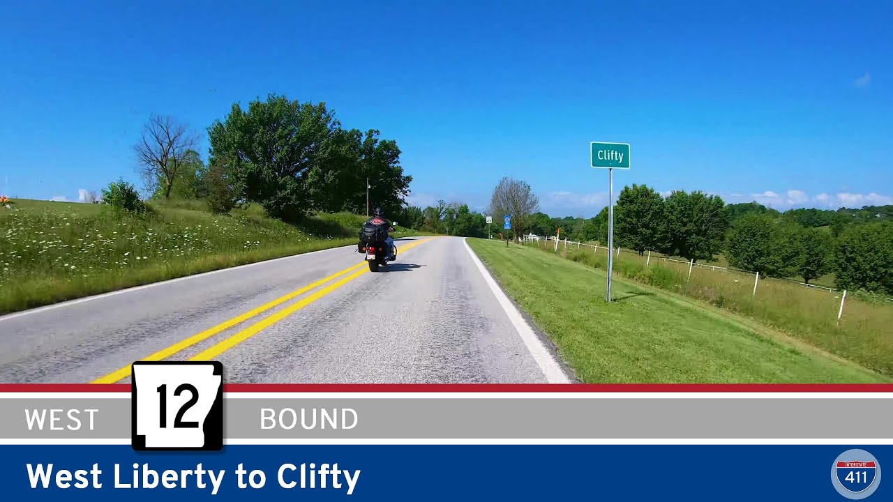
Take a peaceful six-mile drive west along Arkansas Highway 12 from West Liberty to Clifty. Explore Ozark forest scenery, rural homesteads, and quiet backroads in northwest Arkansas.
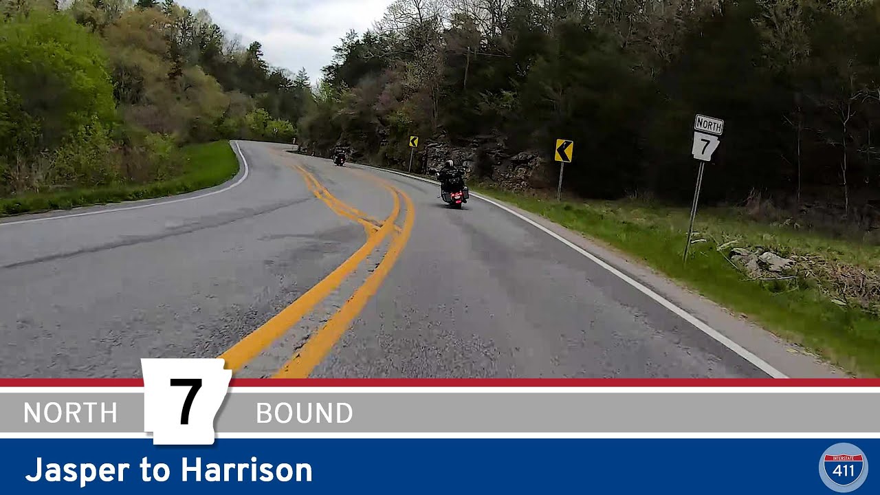
Cruise 20 miles north along Arkansas’s Scenic Highway 7 from Jasper to Harrison, winding through the lush Ozark Mountains, the Buffalo National River, and iconic local landmarks like the old Dogpatch amusement park. This classic Arkansas drive pairs mountain curves wi…
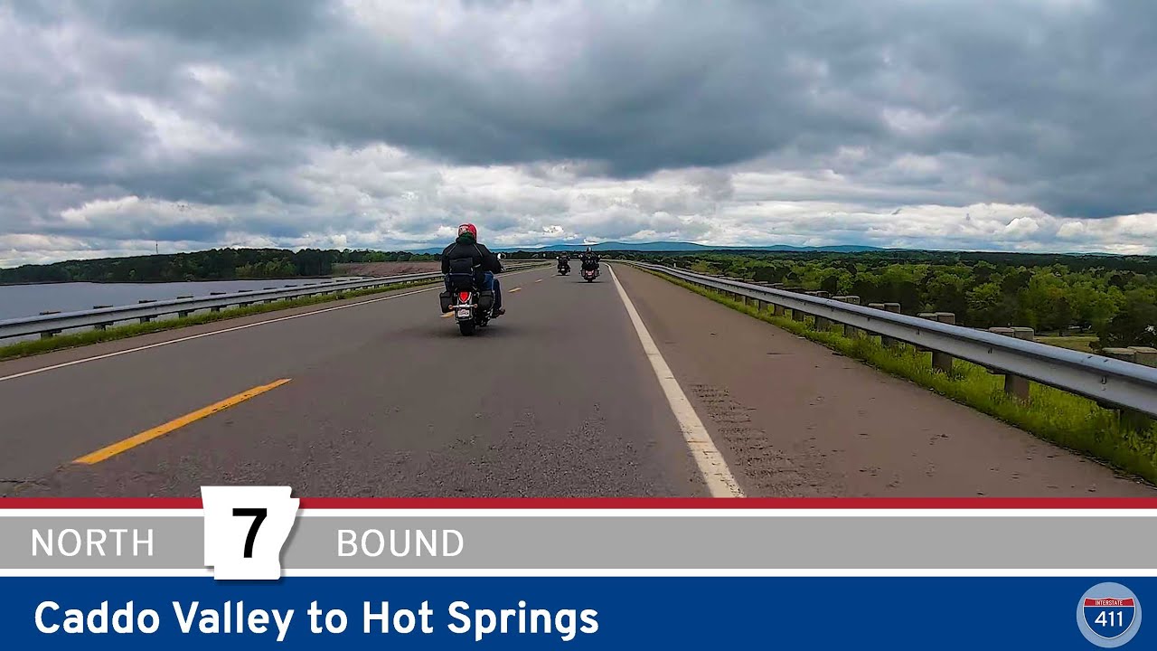
Cruise 27 miles along Scenic Arkansas Highway 7 from Caddo Valley to Hot Springs, passing DeGray Lake, Corps of Engineers parks, the town of Bismarck, and the southern Ouachita Mountains before rolling into the historic spa city.
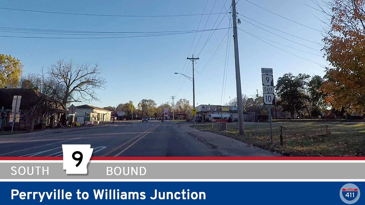
Cruise 10 miles along Arkansas Highway 9 from Perryville to Williams Junction, winding through the wooded foothills of the Ouachita Mountains with river crossings, rural communities, and classic Arkansas scenery.
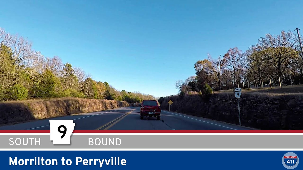
Explore Arkansas Highway 9 from Morrilton to Perryville—a 15-mile drive showcasing river crossings, farmland, and the rolling Ouachita Foothills. Perfect for a quick scenic escape through the heart of central Arkansas.
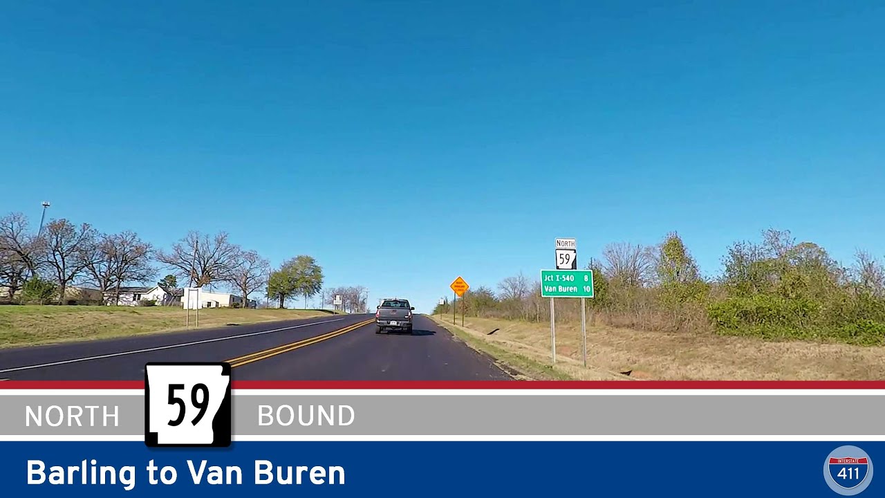
Cruise north for 10 miles along Arkansas Highway 59 from Barling to Van Buren, crossing the Arkansas River on the James W. Trimble Lock & Dam, passing riverside parks, and finishing in the historic heart of Van Buren.
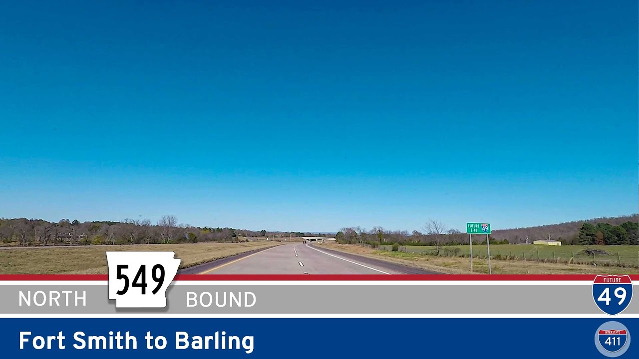
Take a quick ride along Future Interstate 49 from Fort Smith to Barling, Arkansas. Explore this short but crucial stretch through Fort Chaffee, connecting local neighborhoods and setting the stage for I-49’s expansion through the region.
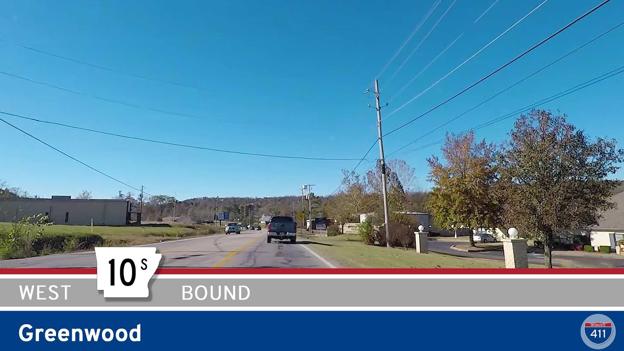
Cruise westbound on Arkansas Highway 10S through Greenwood, Arkansas. This short three-mile stretch connects downtown’s historic square with the town’s main shopping hub and U.S. Highway 71 — a quick look at Greenwood’s local life and easy travel connections.
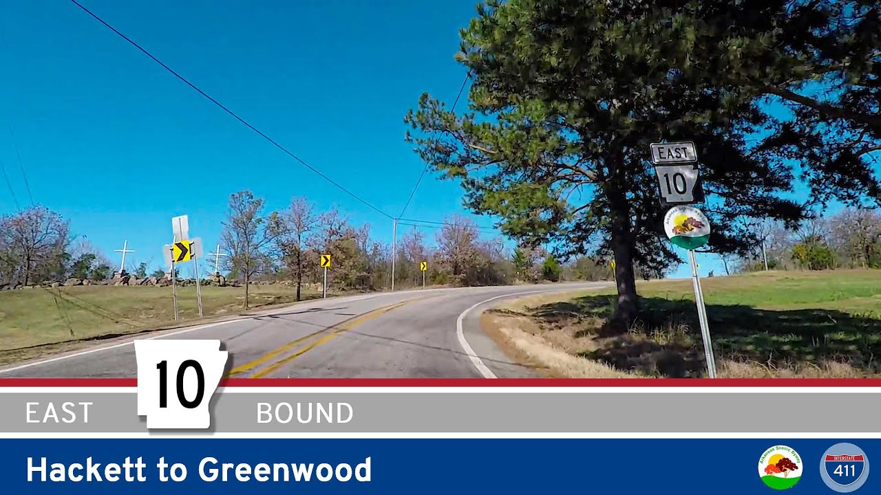
Cruise Arkansas Highway 10 for 10 miles east from Hackett to Greenwood. This scenic drive combines peaceful forest stretches, classic Arkansas farmland, and a charming small-town finish in Greenwood’s downtown square.
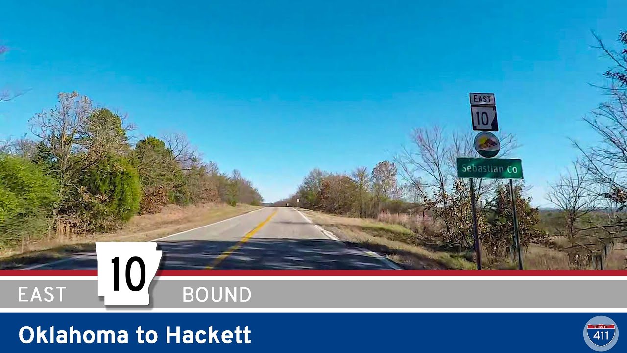
Travel Arkansas Highway 10 for 1.5 miles from the Oklahoma State Line to Hackett, enjoying a brief but scenic drive through farmland and a quiet small town along Arkansas’s western border.
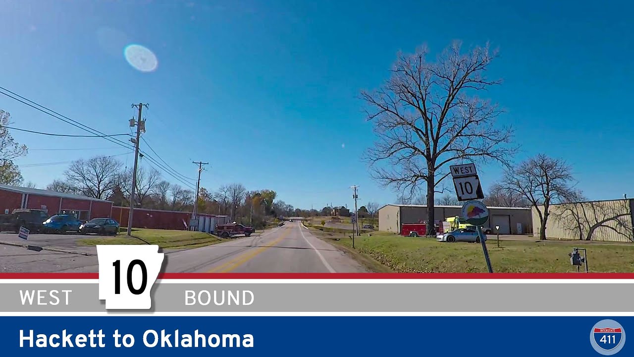
Drive 1.5 miles west along Arkansas Highway 10 from Hackett to the Oklahoma state line, passing through peaceful rural farmland and enjoying a glimpse of the Arkansas River Valley’s small-town scenery before connecting to Oklahoma’s countryside.