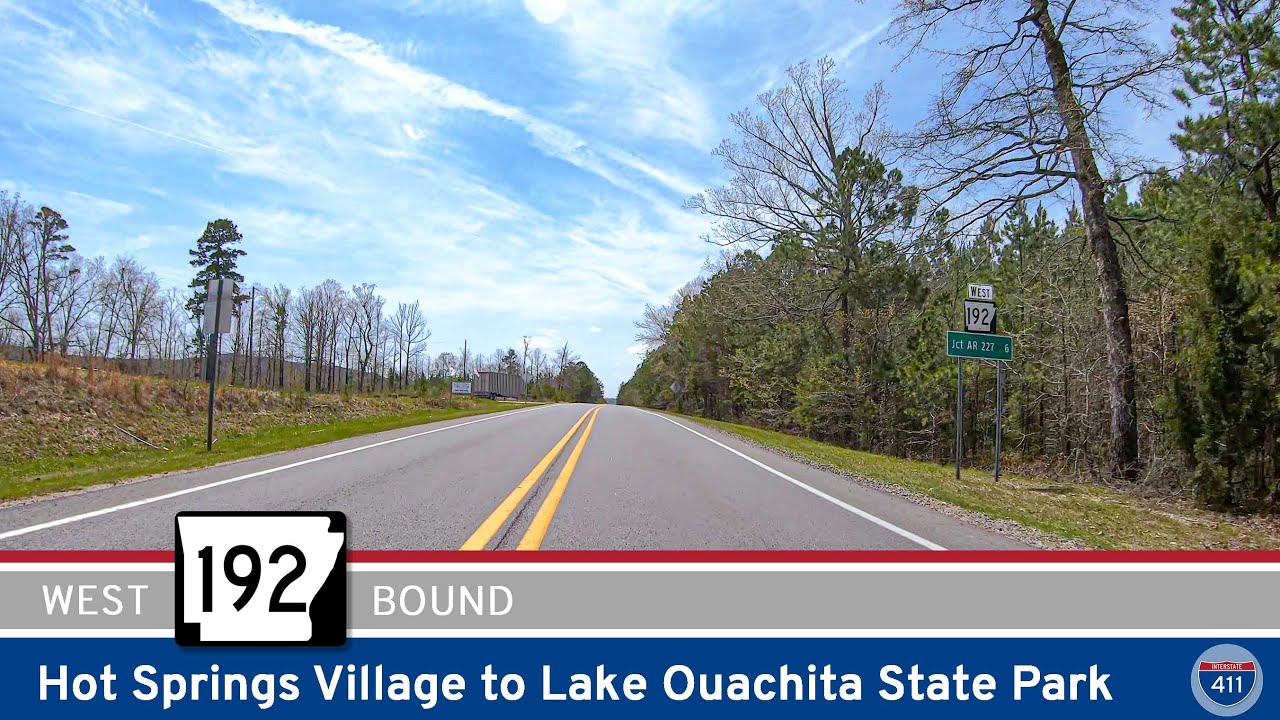
Drive 6 scenic miles along Arkansas Highway 192 from Hot Springs Village to Lake Ouachita State Park. Experience peaceful forests, rolling hills, and easy access to one of Arkansas’s top outdoor destinations.
Explore America’s diverse network of state highways—regional routes managed by individual states that connect towns, cities, parks, and scenic landscapes.
State highways form the backbone of regional travel across the United States, offering essential connections between cities, rural communities, and major national routes. Managed by individual state departments of transportation, these highways vary widely in scale—from narrow rural byways to multi-lane expressways rivaling interstates in traffic and speed. While numbering systems and signage conventions differ from state to state, each network plays a critical role in local mobility and economic development.
Unlike the federally designated Interstate and U.S. Highway systems, state highways are developed and maintained at the state level, giving them a unique character and flexibility. Some follow historic paths and scenic corridors, while others serve as modern commuter routes or urban spurs. Many are vital links to state parks, natural attractions, and lesser-known destinations that don’t fall within the national systems.
On this site, we highlight a growing collection of notable state highways, organized by region and state. Whether you’re tracing a scenic loop through the mountains, navigating a fast-moving corridor through a metro area, or exploring forgotten rural routes, our guides offer detailed overviews, and video journeys to help you plan your next adventure.
State Departments of Transportation use different terminology for their designated road systems, with some states using “state highway,” others “state road,” and still others “state route.” These distinctions, though seemingly minor, often reflect historical and legislative traditions within each state. The choice of a particular term can be tied to the legal language used when the road network was first established or expanded. For example, a state might have initially defined its network as a “system of highways” for commerce and travel, while another may have focused on creating a “system of roads” for local and inter-city connections. The term “state route” is often a more modern designation that emphasizes a specific numbered path for navigation rather than the physical characteristics or purpose of the road itself. While the exact reasoning for each state’s choice is complex and rooted in its unique history, the map on the right provides a visual guide to which term is used where.

Drive 6 scenic miles along Arkansas Highway 192 from Hot Springs Village to Lake Ouachita State Park. Experience peaceful forests, rolling hills, and easy access to one of Arkansas’s top outdoor destinations.
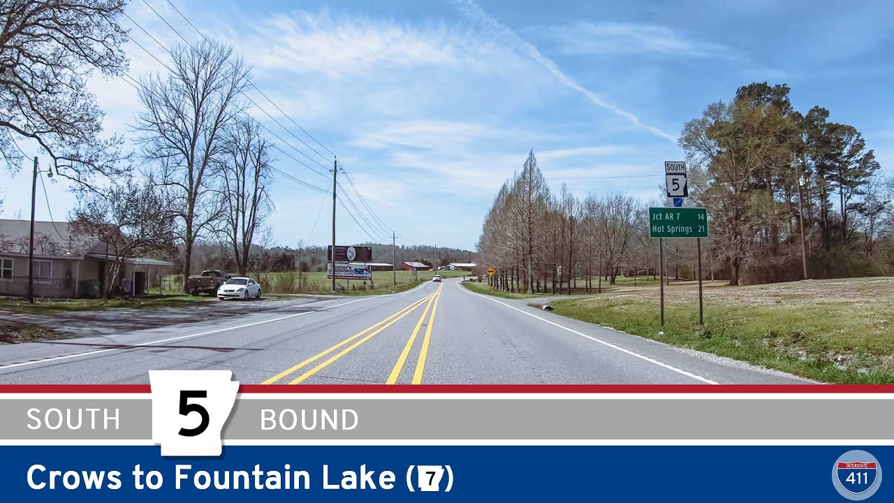
Cruise 14 miles along Arkansas Highway 5 from Crows to Fountain Lake for a relaxing drive through forested hills, rural towns, and the edges of Hot Springs Village. Discover scenic views and the gateway to Central Arkansas’s best lakes and parks on this peaceful stret…
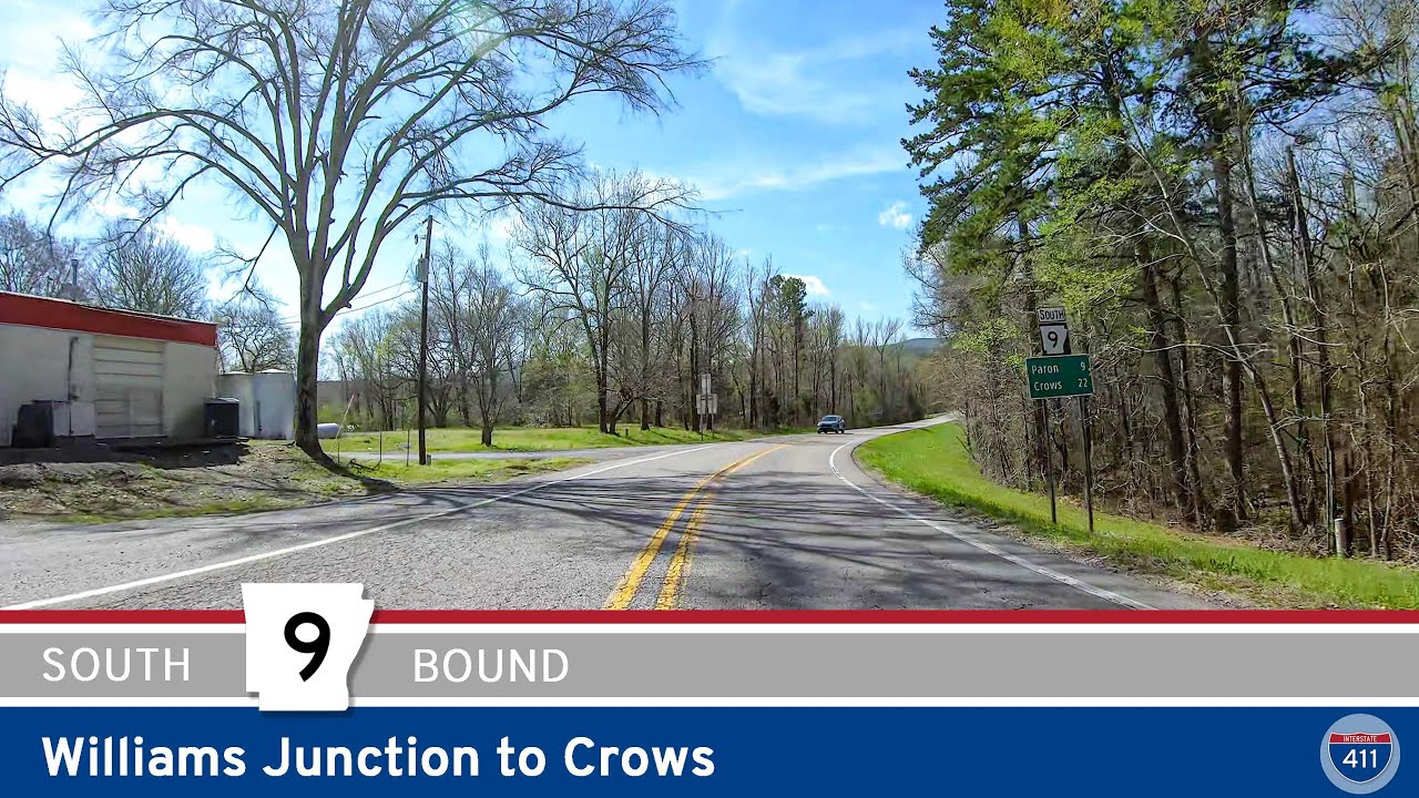
Cruise 22 miles down Arkansas Highway 9 from Williams Junction to Crows for a classic Ouachita drive. Experience the dense Ouachita National Forest, pass through rural communities like Paron and Unity, and enjoy scenic views, peaceful backroads, and true Arkansas hospit…
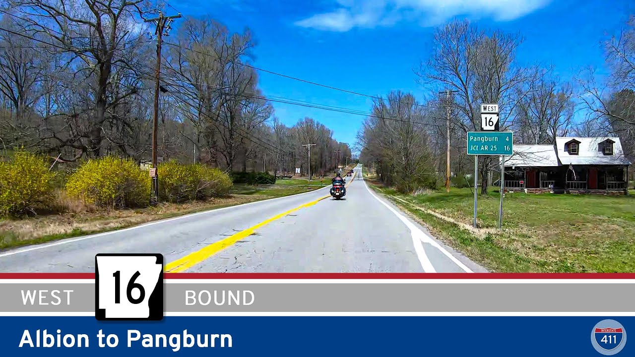
Explore a charming six-mile drive along Arkansas Highway 16 from Albion to Pangburn, featuring rolling farmland, quiet rural communities, and a scenic crossing of Big Creek. This relaxed backroad journey offers classic Arkansas views and ends in the inviting town of Pan…
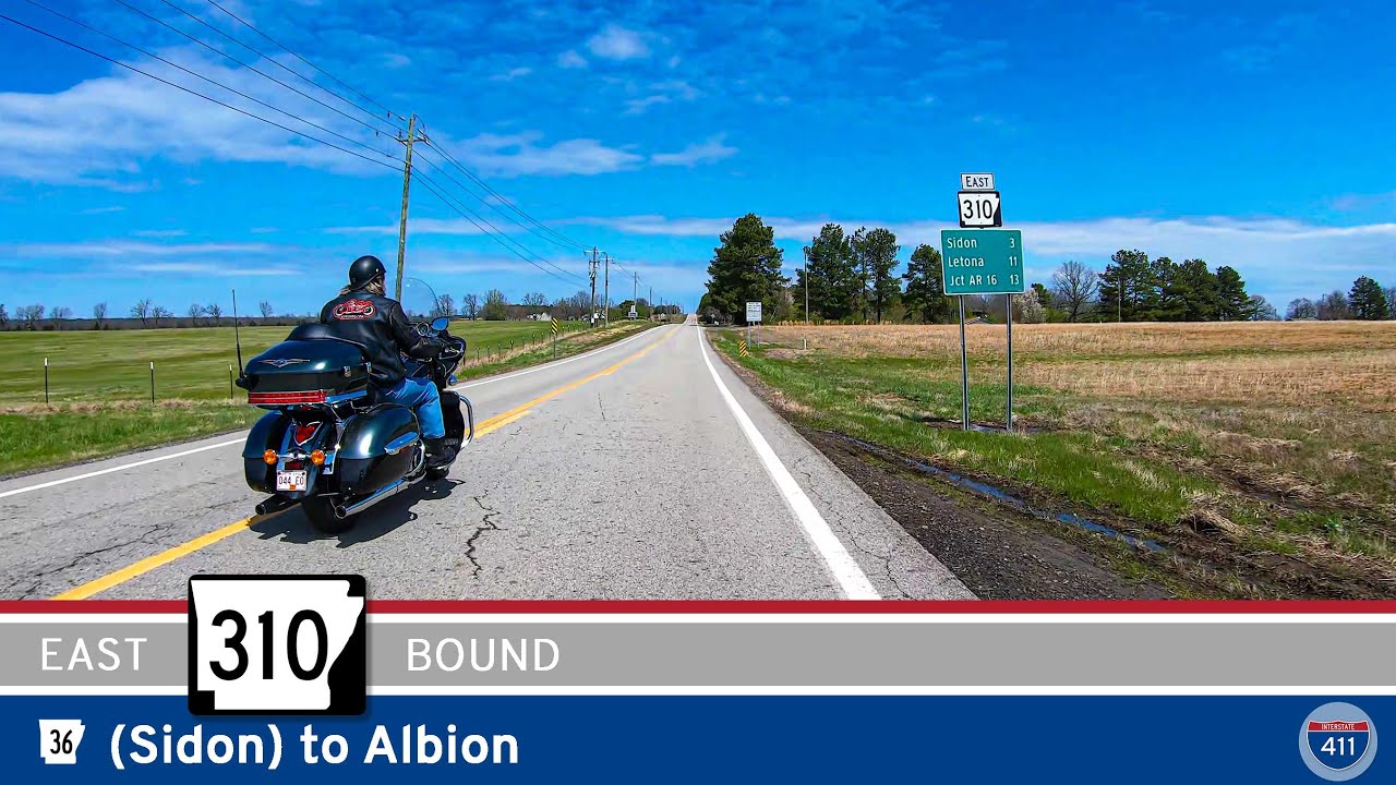
Experience a relaxed and scenic drive on Arkansas Highway 310 from Sidon to Albion. This 13-mile route weaves through small towns, farmland, and rolling hills, showcasing the best of rural White County, Arkansas. Ideal for road trippers and anyone looking for an authent…
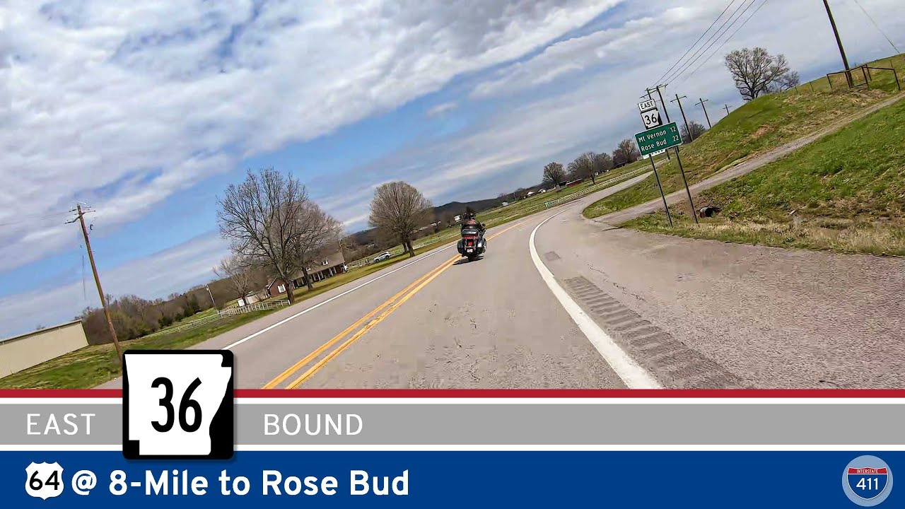
Cruise 27 miles of Arkansas Highway 36 from 8-Mile to Rose Bud, winding through farmland, small towns, and classic Arkansas scenery. Discover rural communities, local intersections, and great countryside views on this relaxed central Arkansas drive.
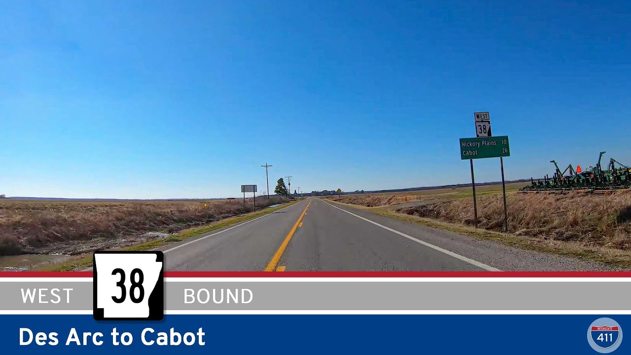
If you’re looking for a genuine slice of central Arkansas, a drive westbound on Arkansas Highway 38 from Des Arc to Cabot is a perfect way to see the region’s small towns, sprawling farmland, and classic heartland scenery. This 29-mile route might not be one of…
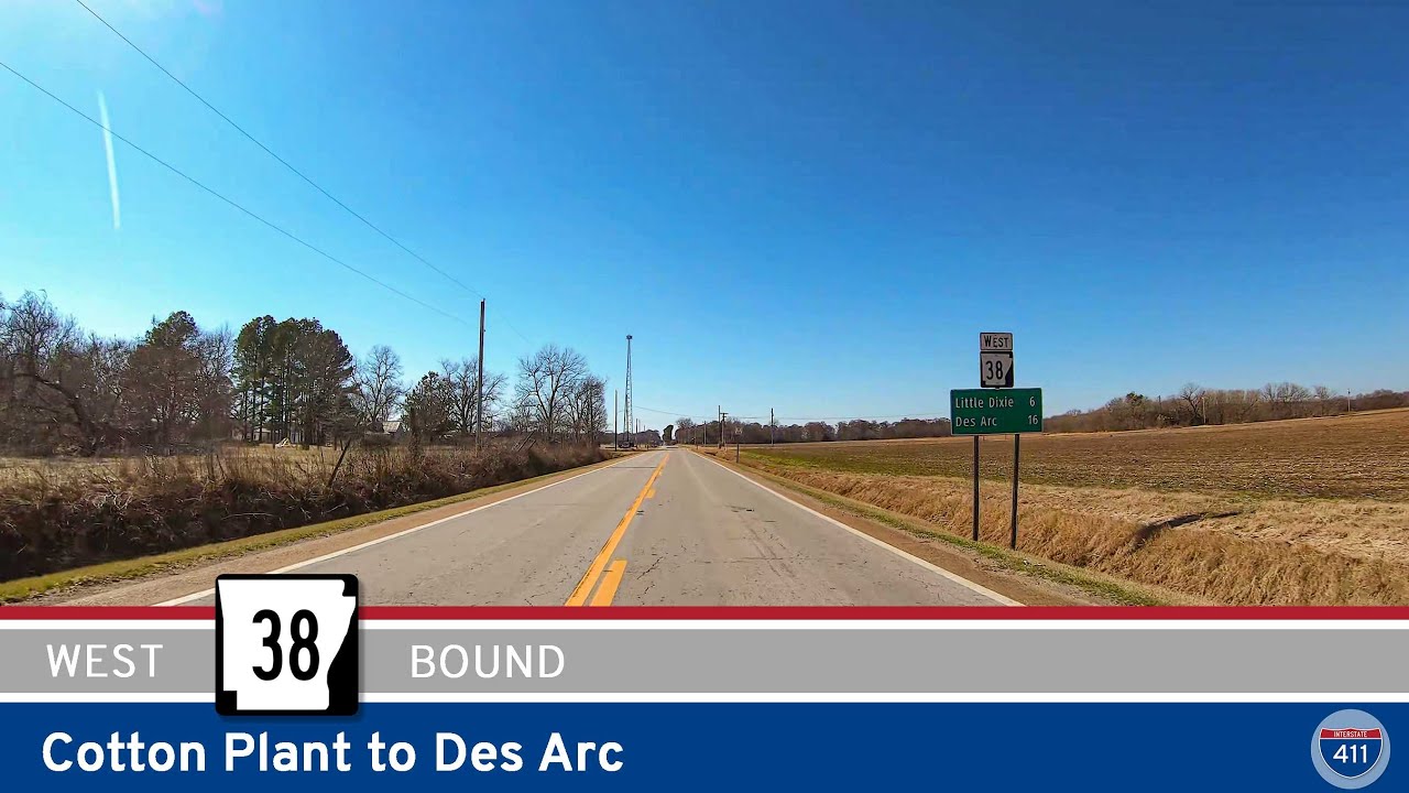
Experience a peaceful 15-mile drive along Arkansas Highway 38 from Cotton Plant to Des Arc, crossing the Cache and White Rivers through farmland, small Delta communities, and historic river landscapes. A classic eastern Arkansas route.
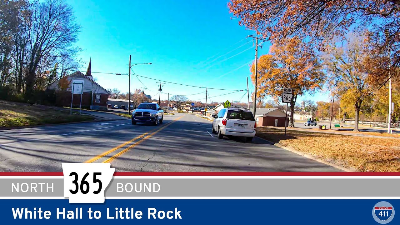
Explore Arkansas Highway 365 from White Hall to Little Rock—a 37-mile route blending historic roadways, rural towns, farmland, and urban sights. Follow the old Dollarway Road, discover local parks and communities, and finish your trip right at the doorstep of downtown…
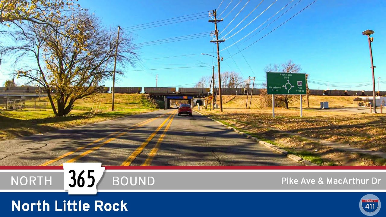
Take a drive along Arkansas Highway 365 through North Little Rock for a quick 4-mile urban adventure. From bustling Broadway Street and historic Pike Avenue to the tranquil green spaces near Burns Park, discover what makes this short stretch a must-see for city explorer…
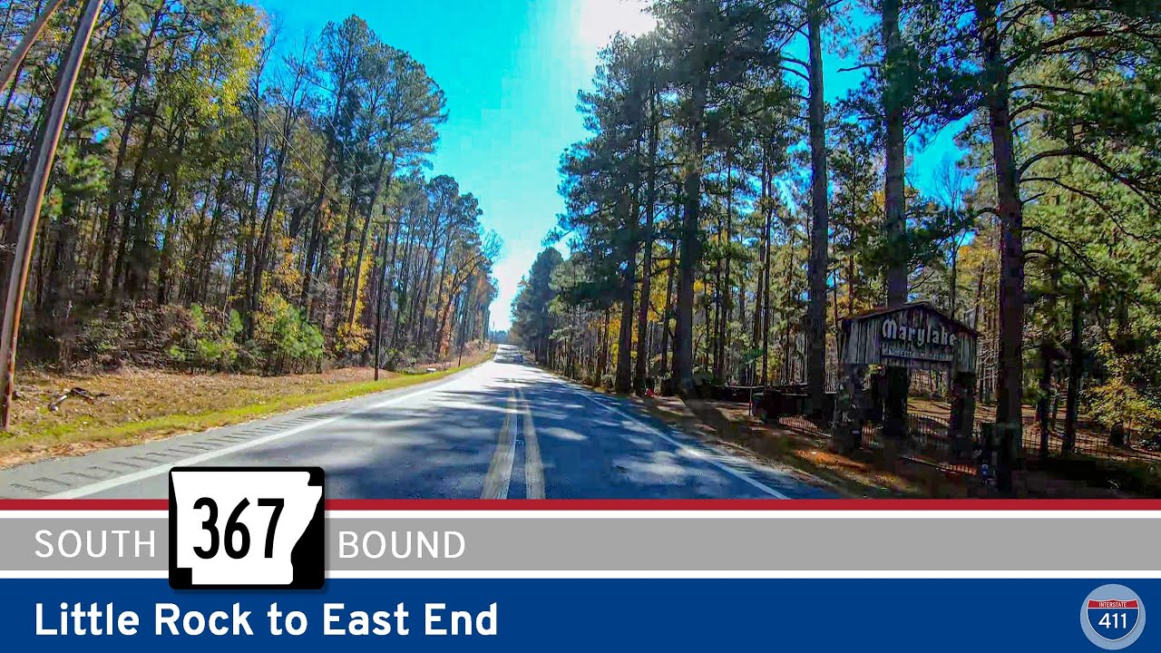
Explore Arkansas Highway 367 as we travel 10 miles south from Little Rock to East End. Experience a classic transition from urban edge to rural Arkansas, passing through Ironton, Landmark, and the farmlands of Saline County. Discover local communities, scenic byways, an…
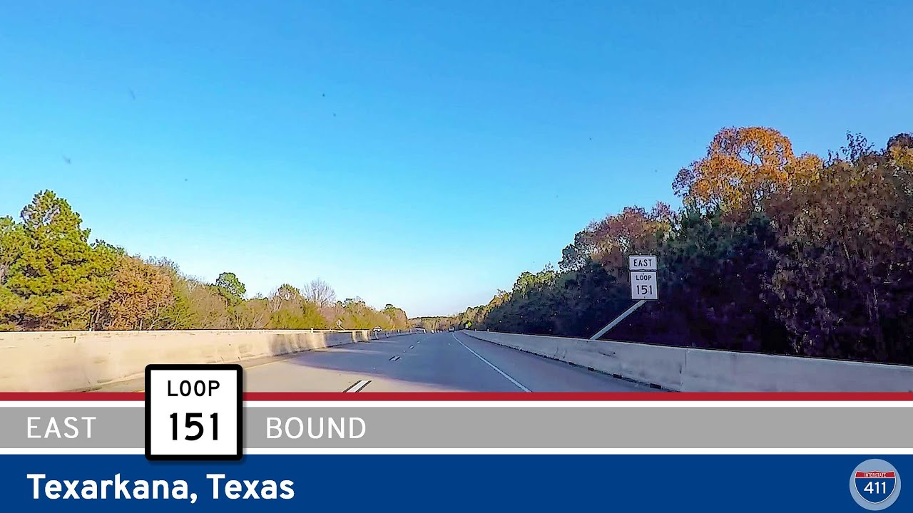
Take a drive along Texas Highway 151, the Texarkana Loop, for five smooth miles connecting U.S. Highway 59 in Texas to Interstate 49 in Arkansas. This urban bypass offers an efficient route around the city, easy access to local parks, and a fast track between two states…