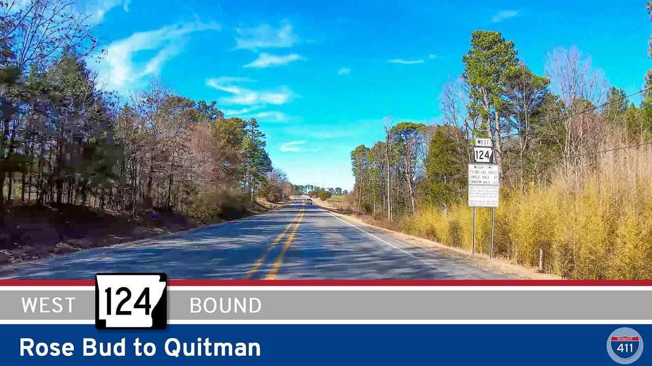
Take a scenic drive along Arkansas Highway 124 from Rose Bud to Quitman. This 8-mile route passes rolling farmland, wooded hills, and small-town charm in rural White and Cleburne counties.
Explore America’s diverse network of state highways—regional routes managed by individual states that connect towns, cities, parks, and scenic landscapes.
State highways form the backbone of regional travel across the United States, offering essential connections between cities, rural communities, and major national routes. Managed by individual state departments of transportation, these highways vary widely in scale—from narrow rural byways to multi-lane expressways rivaling interstates in traffic and speed. While numbering systems and signage conventions differ from state to state, each network plays a critical role in local mobility and economic development.
Unlike the federally designated Interstate and U.S. Highway systems, state highways are developed and maintained at the state level, giving them a unique character and flexibility. Some follow historic paths and scenic corridors, while others serve as modern commuter routes or urban spurs. Many are vital links to state parks, natural attractions, and lesser-known destinations that don’t fall within the national systems.
On this site, we highlight a growing collection of notable state highways, organized by region and state. Whether you’re tracing a scenic loop through the mountains, navigating a fast-moving corridor through a metro area, or exploring forgotten rural routes, our guides offer detailed overviews, and video journeys to help you plan your next adventure.
State Departments of Transportation use different terminology for their designated road systems, with some states using “state highway,” others “state road,” and still others “state route.” These distinctions, though seemingly minor, often reflect historical and legislative traditions within each state. The choice of a particular term can be tied to the legal language used when the road network was first established or expanded. For example, a state might have initially defined its network as a “system of highways” for commerce and travel, while another may have focused on creating a “system of roads” for local and inter-city connections. The term “state route” is often a more modern designation that emphasizes a specific numbered path for navigation rather than the physical characteristics or purpose of the road itself. While the exact reasoning for each state’s choice is complex and rooted in its unique history, the map on the right provides a visual guide to which term is used where.

Take a scenic drive along Arkansas Highway 124 from Rose Bud to Quitman. This 8-mile route passes rolling farmland, wooded hills, and small-town charm in rural White and Cleburne counties.
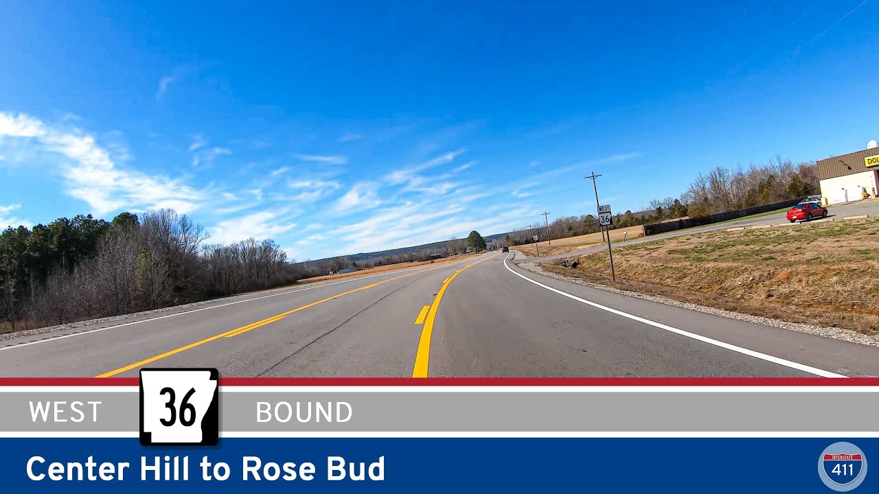
Take a scenic 13-mile drive along Arkansas Highway 36 from Center Hill to Rose Bud. Enjoy rolling hills, farmland, and the quiet charm of Joy and Rose Bud in this peaceful White County route.
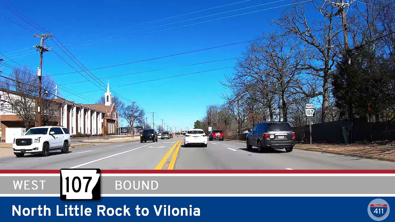
Take a scenic 29-mile drive along Arkansas Highway 107 from North Little Rock to Vilonia, where suburban neighborhoods fade into rolling farmland and forested countryside. This route offers a relaxing look at Central Arkansas’s natural beauty and small-town charm.
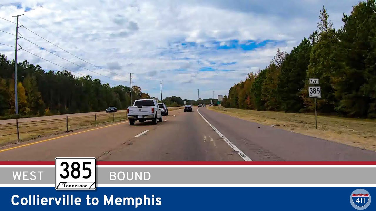
Cruise west along Tennessee Route 385 from Collierville to Memphis on the Bill Morris Parkway. This 15-mile expressway offers smooth access through suburban Memphis, connecting to I-240 with ease.
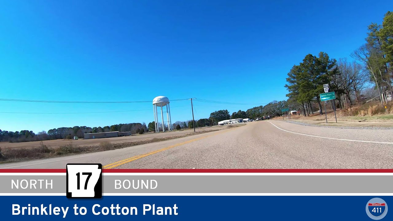
Travel 8 miles north through Arkansas’s Delta farmland on Highway 17 from Brinkley to Cotton Plant. This scenic drive crosses DeView Bayou and ends in a town rich in Southern history and agriculture.
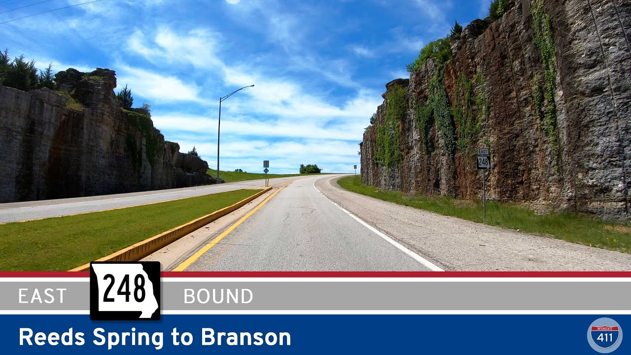
Take a scenic 14-mile ride along Missouri Route 248 from Reeds Spring to Branson, passing through the Ozark hills, rural landscapes, and into the heart of Branson’s entertainment district.
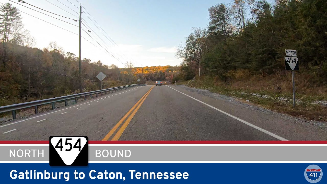
Take a scenic drive along Tennessee Route 454 from Gatlinburg to Caton through the lush hills and artsy enclaves of the Smoky Mountains. This 6-mile route offers winding roads, rural charm, and a peaceful alternative to busier tourist highways.
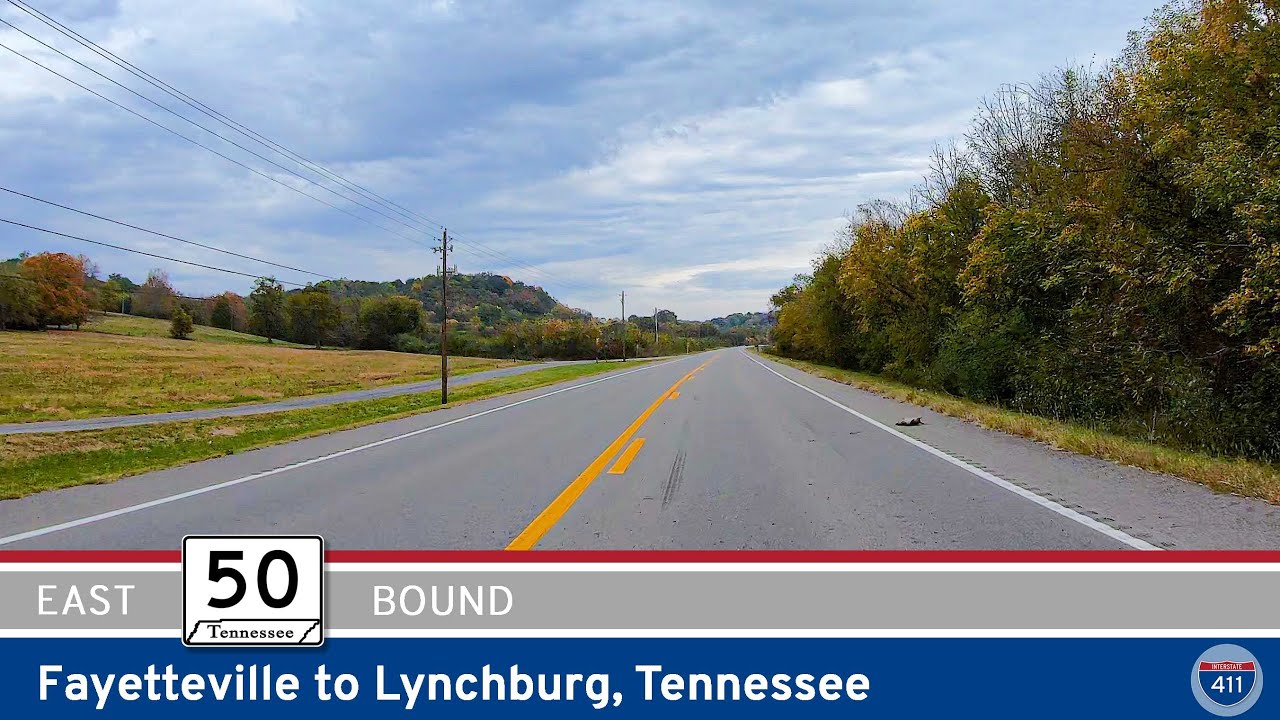
Cruise 13 scenic miles along Tennessee Route 50 from Fayetteville to Lynchburg. Pass through Mulberry, enjoy rolling farmland and wooded hills, and end in the historic heart of Jack Daniel’s country.
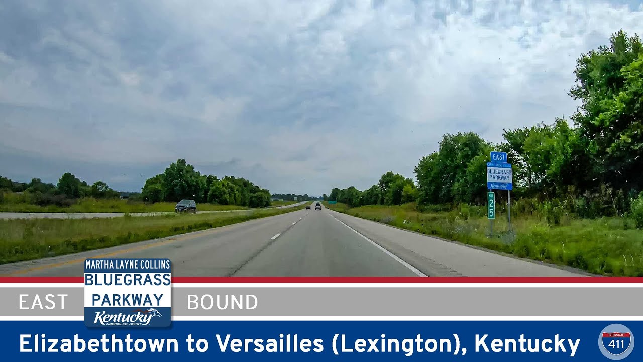
Cruise 71 miles east through central Kentucky on the Bluegrass Parkway from Elizabethtown to Versailles. Enjoy smooth driving, bourbon country views, and easy access to Bardstown, Lexington, and Versailles.
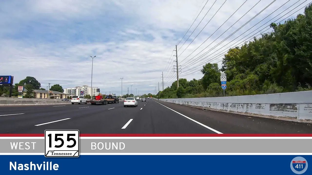
Explore 16 miles of Nashville’s Briley Parkway (TN-155) as we travel westbound across the Cumberland River, connecting key interstates and bypassing the city’s core. From Opry Mills to I-40, this route showcases both
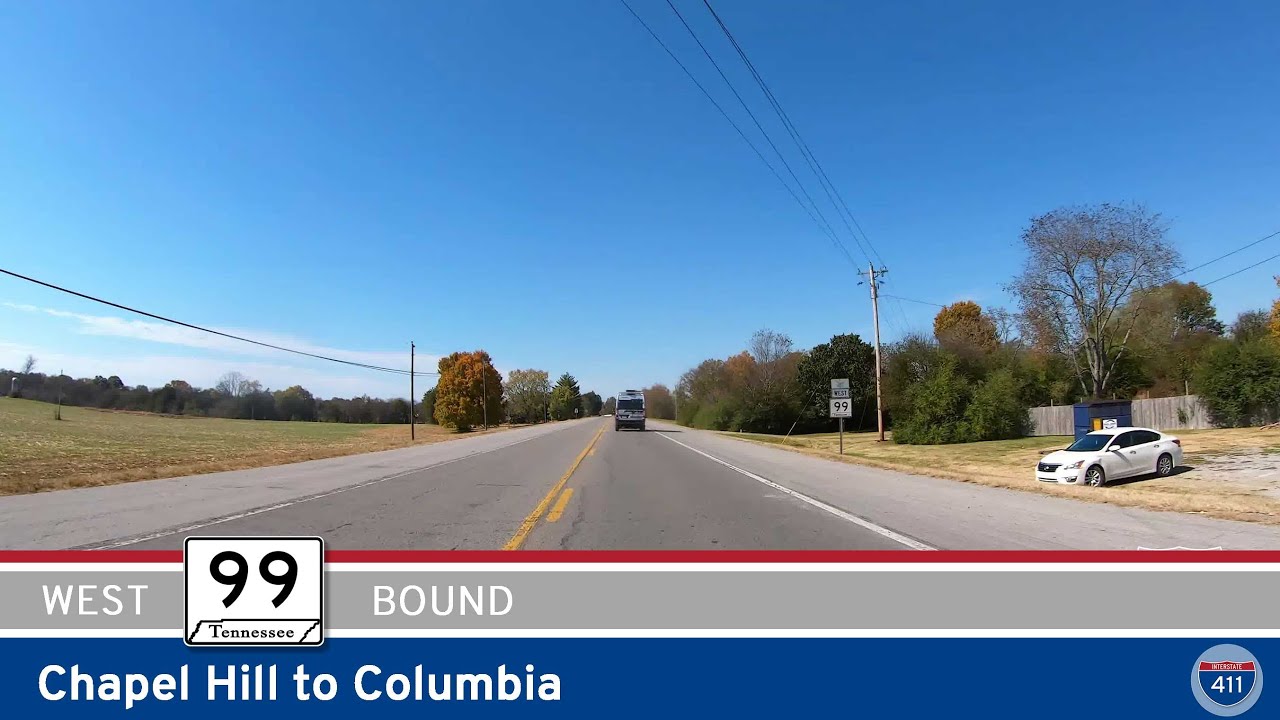
Drive Tennessee Route 99 from Chapel Hill to Columbia for 12 scenic miles through farmland, forest, and river valleys. Follow this relaxing rural route to Columbia via Bear Creek Pike and key junctions with US-431 and I-65.
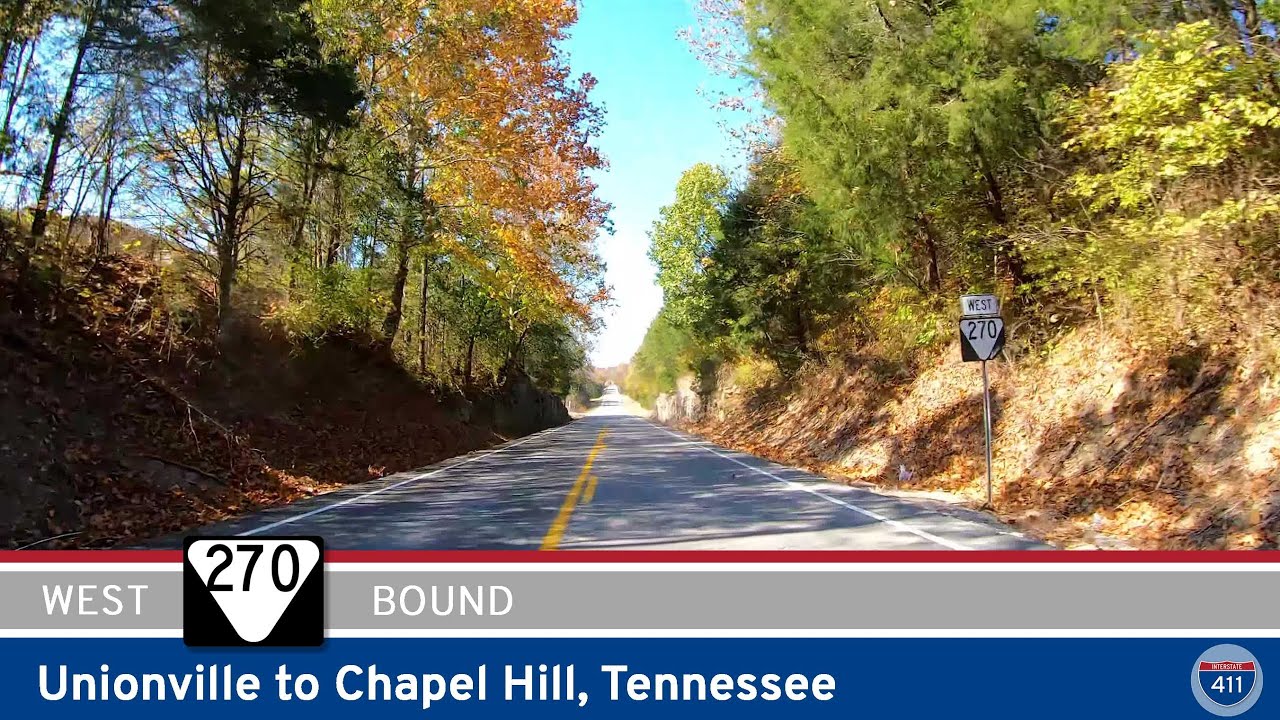
Cruise through the heart of Middle Tennessee on State Route 270, a peaceful 10-mile drive from Unionville to Chapel Hill. This scenic byway offers quiet farmland views, rolling hills, and access to Henry Horton State Park.