Explore the scenic 35-mile drive along Arkansas Highway 9 from Clinton to Mountain View. Discover charming Ozark towns, lush forests, historic communities, and vibrant arts culture along this winding Arkansas route.
![[Revisited] Arkansas Highway 9: Clinton to Mountain View – Arkansas](https://openroadarchive.com/wp-content/uploads/2025/06/jbcz-9ycje0maxresdefault.jpg)
Explore America’s diverse network of state highways—regional routes managed by individual states that connect towns, cities, parks, and scenic landscapes.
State highways form the backbone of regional travel across the United States, offering essential connections between cities, rural communities, and major national routes. Managed by individual state departments of transportation, these highways vary widely in scale—from narrow rural byways to multi-lane expressways rivaling interstates in traffic and speed. While numbering systems and signage conventions differ from state to state, each network plays a critical role in local mobility and economic development.
Unlike the federally designated Interstate and U.S. Highway systems, state highways are developed and maintained at the state level, giving them a unique character and flexibility. Some follow historic paths and scenic corridors, while others serve as modern commuter routes or urban spurs. Many are vital links to state parks, natural attractions, and lesser-known destinations that don’t fall within the national systems.
On this site, we highlight a growing collection of notable state highways, organized by region and state. Whether you’re tracing a scenic loop through the mountains, navigating a fast-moving corridor through a metro area, or exploring forgotten rural routes, our guides offer detailed overviews, and video journeys to help you plan your next adventure.
State Departments of Transportation use different terminology for their designated road systems, with some states using “state highway,” others “state road,” and still others “state route.” These distinctions, though seemingly minor, often reflect historical and legislative traditions within each state. The choice of a particular term can be tied to the legal language used when the road network was first established or expanded. For example, a state might have initially defined its network as a “system of highways” for commerce and travel, while another may have focused on creating a “system of roads” for local and inter-city connections. The term “state route” is often a more modern designation that emphasizes a specific numbered path for navigation rather than the physical characteristics or purpose of the road itself. While the exact reasoning for each state’s choice is complex and rooted in its unique history, the map on the right provides a visual guide to which term is used where.

Explore the scenic 35-mile drive along Arkansas Highway 9 from Clinton to Mountain View. Discover charming Ozark towns, lush forests, historic communities, and vibrant arts culture along this winding Arkansas route.
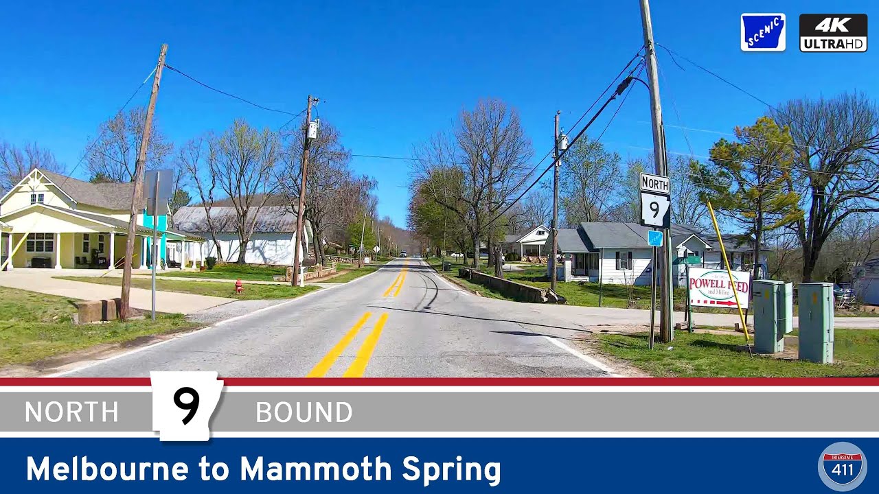
Take a scenic 46-mile drive along Arkansas Highway 9 from Melbourne to Mammoth Spring, exploring the Ozark Plateau’s forests, farmland, and small towns. This quiet route ends across from the stunning Mammoth Spring State Park, home to one of the largest natural spring…
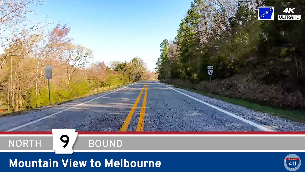
Drive 25 miles through the Ozark Highlands on Arkansas Highway 9 from Mountain View to Melbourne. Experience tight switchbacks on Polk Mountain, rolling farmland, and authentic Ozark charm along this scenic north-central Arkansas route.
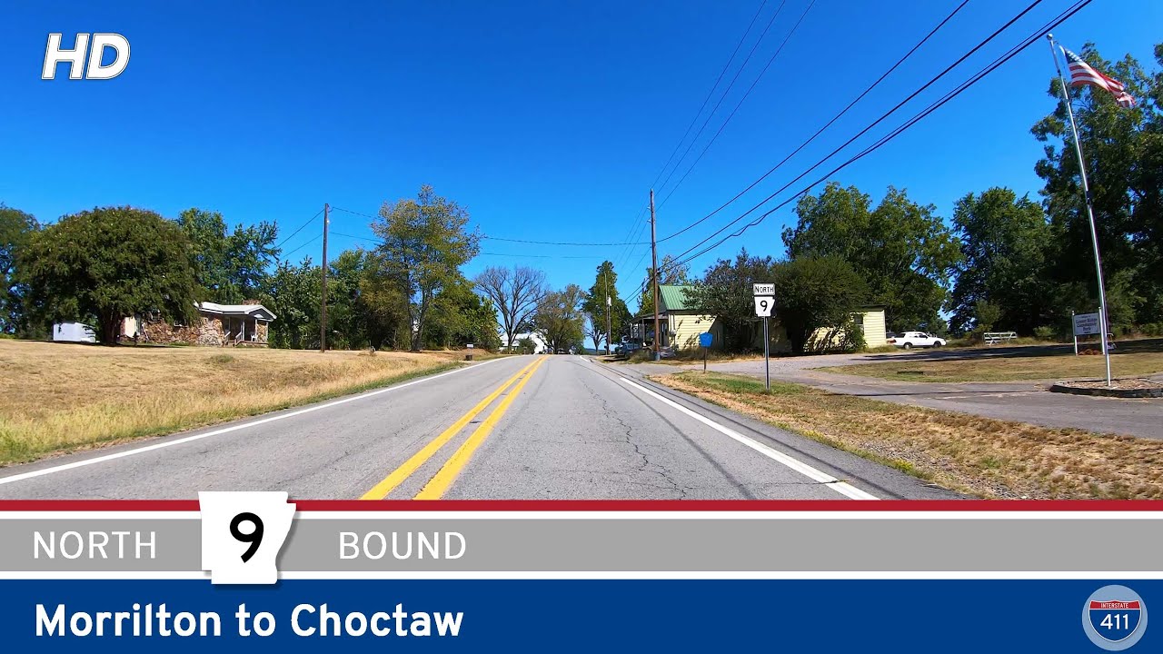
Take a scenic 34-mile drive along Arkansas Highway 9 from Morrilton to Choctaw. This peaceful route winds through farmland, forest, and small towns, connecting central Arkansas to the edge of the Ozarks.
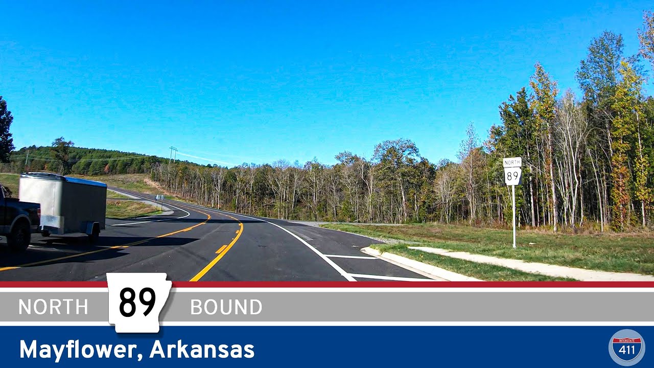
Explore a 5-mile drive along Arkansas Highway 89 in Mayflower, featuring the new Mayflower bypass and a scenic stretch west of town. A short yet notable route in central Arkansas.
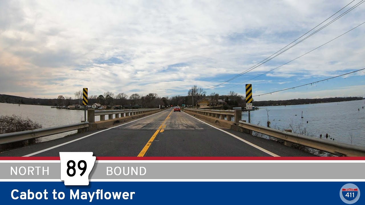
Explore the scenic route of Arkansas Highway 89 from Cabot to Mayflower, a 25-mile drive through rural towns, farmland, and along the edge of Camp Robinson. This segment includes a historic alignment and the new Mayflower bypass.
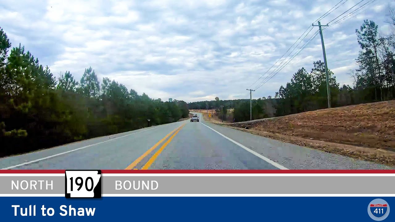
Take a peaceful 5-mile drive along Arkansas Highway 190 from Tull to Shaw. Follow the gentle bends of the Saline River through forested landscapes and rural backroads on this quiet stretch of central Arkansas.
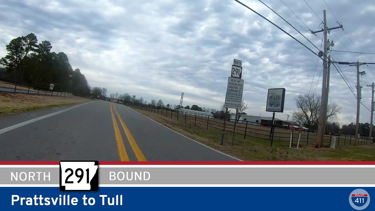
Take a peaceful drive along Arkansas Highway 291 from Prattsville to Tull. This 9-mile rural route winds through farmland and forest with barely a car in sight—perfect for a scenic escape.
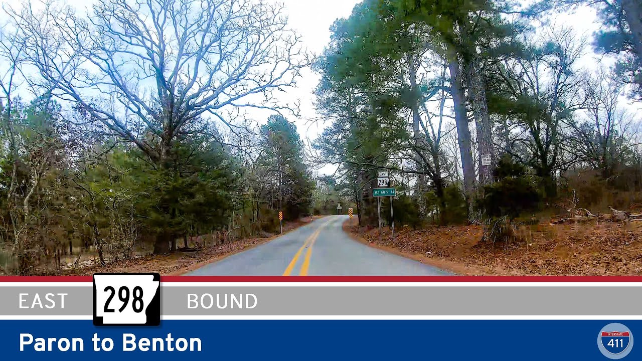
Take a scenic 14-mile drive along Arkansas Highway 298 from Paron to Benton. This hidden route through Saline County features rolling hills, forest views, and a few winding curves for adventurous drivers and motorcyclists alike.
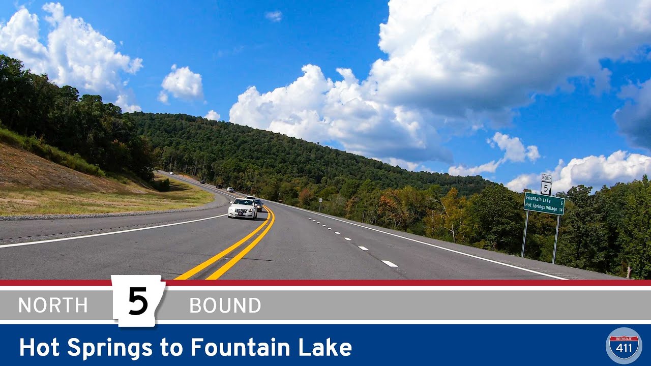
Take a scenic drive on the newly opened Arkansas Highway 5 extension from Hot Springs to Fountain Lake. This 5.8-mile bypass cuts through the Ouachita Mountains, connecting US-70 to AR-7 with modern, scenic roadway improvements.
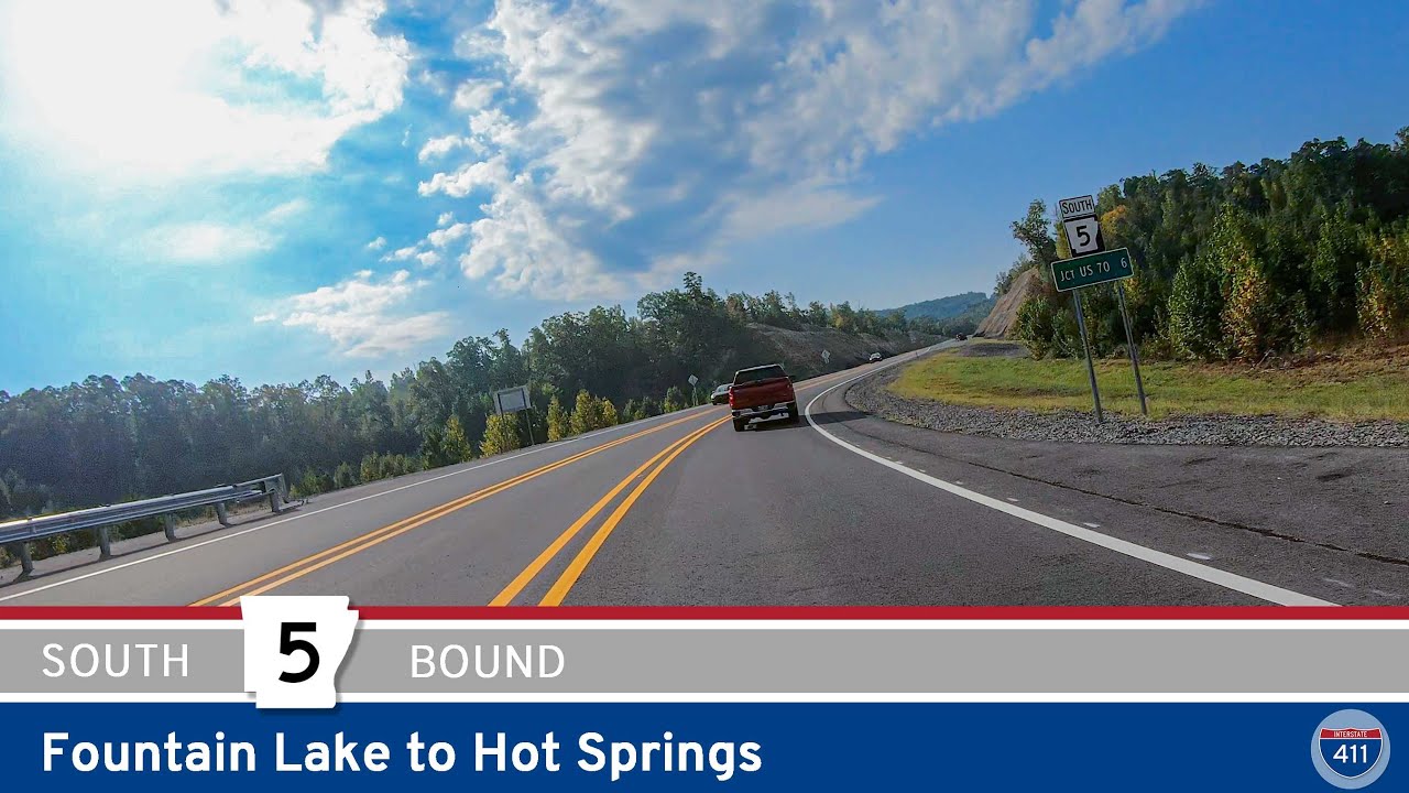
Take a drive along the newly completed Arkansas Highway 5 Bypass from Fountain Lake to Hot Springs. Opened in 2023, this 6-mile scenic connector through the Ouachita Mountains offers quicker access to Hot Springs while showcasing the natural beauty of rural Garland Coun…
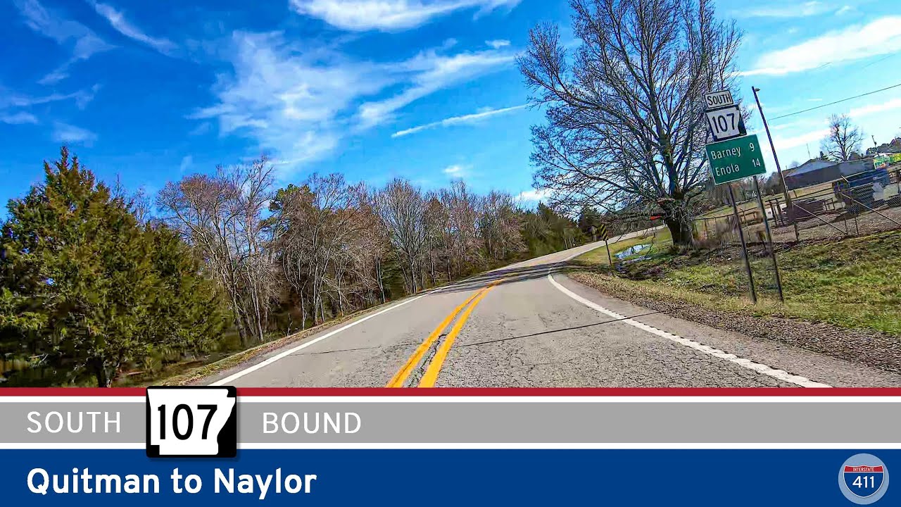
Take a relaxing 16-mile drive south along Arkansas Highway 107 from Quitman to Naylor, passing through the rural communities of Enders, Barney, and Enola. Discover rolling hills, open farmland, and quiet small-town charm in Central Arkansas.