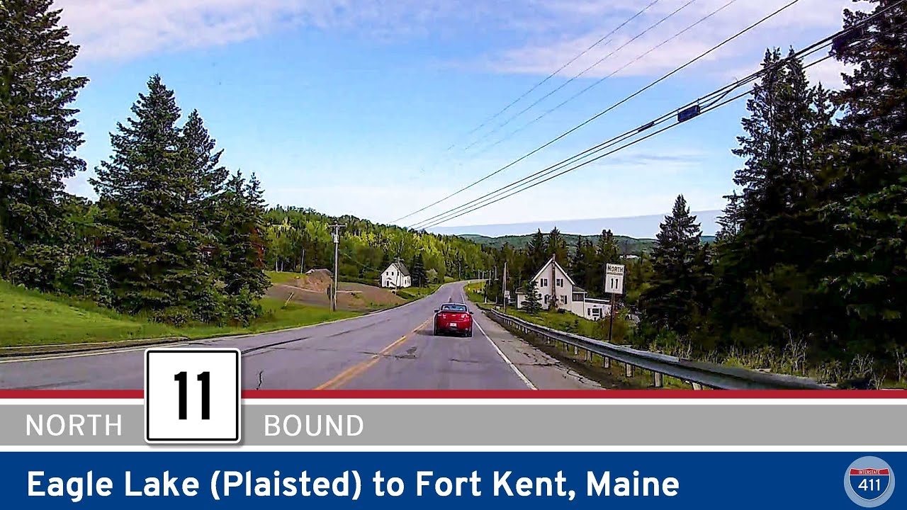
Cruise 11 miles north along Maine State Route 11 from Eagle Lake to Fort Kent and enjoy a tranquil slice of Aroostook County—dense forests, riverside views, and a gateway to the end of US-1 at the Canadian border.
Explore Maine State Highways, including scenic routes, regional connectors, and essential travel corridors across the Pine Tree State. Learn about key routes and how they link Maine’s coast, forest, and rural towns.
Maine’s state highway system plays a crucial role in connecting its coastal communities, rural towns, and forested interiors. Numbered routes in the Pine Tree State are maintained by the Maine Department of Transportation (MaineDOT) and typically use a distinctive white square shield with black numbering. These roads span the state from the scenic shores of Acadia to the remote borders near Canada, serving both local and through travelers.
Maine’s state routes are numbered in a loose grid, with odd-numbered highways generally running north-south and even-numbered routes running east-west. Notable examples include State Route 9, known as “The Airline,” which stretches from Brewer to Calais and offers a remote but scenic path to Down East Maine. State Route 1A, SR 11, and SR 27 also serve as important connectors, especially for those avoiding busier U.S. highways like US 1 and US 2.
From coastal villages like Wiscasset and Camden to inland towns like Farmington and Jackman, Maine’s state highways provide critical access to outdoor recreation, historic sites, and daily life in both well-traveled and isolated regions. Whether you’re heading to the lakes, the mountains, or the sea, these routes are a key part of any Maine journey.
Cruise 11 miles north along Maine State Route 11 from Eagle Lake to Fort Kent and enjoy a tranquil slice of Aroostook County—dense forests, riverside views, and a gateway to the end of US-1 at the Canadian border.