Follow Arkansas Highway 9 for 46 miles from Crows to Morrilton, passing through Paron, Perryville, and the Arkansas River Valley with access to Petit Jean State Park along the way.

Explore Arkansas Highway 9, a historic north–south route spanning approximately 225 miles through central and northern Arkansas. Discover scenic landscapes, cultural landmarks, and key connections from Eagle Mills to Mammoth Spring.
Arkansas Highway 9 (AR 9) is a significant north–south state highway traversing central and northern Arkansas. Established in 1926, AR 9 is divided into three distinct segments, collectively covering approximately 225 miles. The route offers a diverse journey through the state’s varied landscapes, from the pine forests of the south to the Ozark Mountains in the north.
Southern Segment: Eagle Mills to Malvern
The southernmost segment of AR 9 begins at U.S. Route 79 in Eagle Mills, Ouachita County. It proceeds northward through rural communities such as Holly Springs, Princeton, Tulip, and Lono. The route concludes in Malvern at U.S. Route 67, serving as a connector between small towns and facilitating access to larger highways.
Central Segment: Crows to Choctaw
Resuming in Crows, Saline County, the central segment of AR 9 extends north to U.S. Route 65 in Choctaw. This portion of the highway passes through the Ouachita Mountains and the Arkansas River Valley, intersecting with major routes such as AR 10 in Perryville and U.S. Route 64 in Morrilton. The terrain varies from mountainous regions to rolling valleys, offering scenic views and access to recreational areas.
Northern Segment: Clinton to Mammoth Spring
The northernmost segment starts at U.S. Route 65 in Clinton and stretches to U.S. Route 63 in Mammoth Spring, near the Missouri border. This segment traverses the Ozark Mountains, passing through towns like Shirley, Mountain View, Melbourne, and Salem. It offers access to cultural sites and natural attractions, including the Ozark Folk Center and various outdoor recreational areas.
Historical and Cultural Significance
AR 9 holds historical importance, with portions designated as Arkansas Heritage Trails, recognizing their roles in events such as the Civil War and the Trail of Tears. The highway’s alignment has remained relatively consistent since its inception, preserving its historical route through the state.
SEO Description:
Explore Arkansas Highway 9, a historic north–south route spanning approximately 225 miles through central and northern Arkansas. Discover scenic landscapes, cultural landmarks, and key connections from Eagle Mills to Mammoth Spring.
Follow Arkansas Highway 9 for 46 miles from Crows to Morrilton, passing through Paron, Perryville, and the Arkansas River Valley with access to Petit Jean State Park along the way.
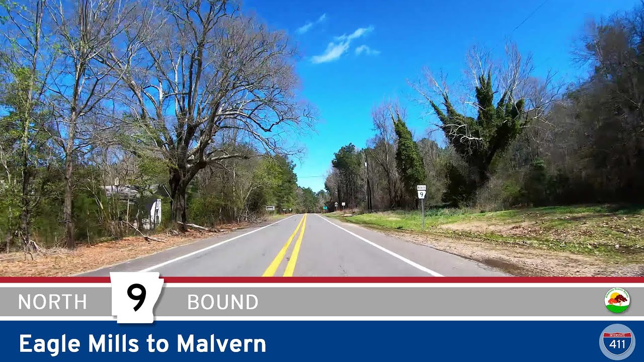
Cruise 53 miles north along Arkansas Highway 9 from Eagle Mills to Malvern through the piney woods, farmland, and historic communities of central-southern Arkansas.
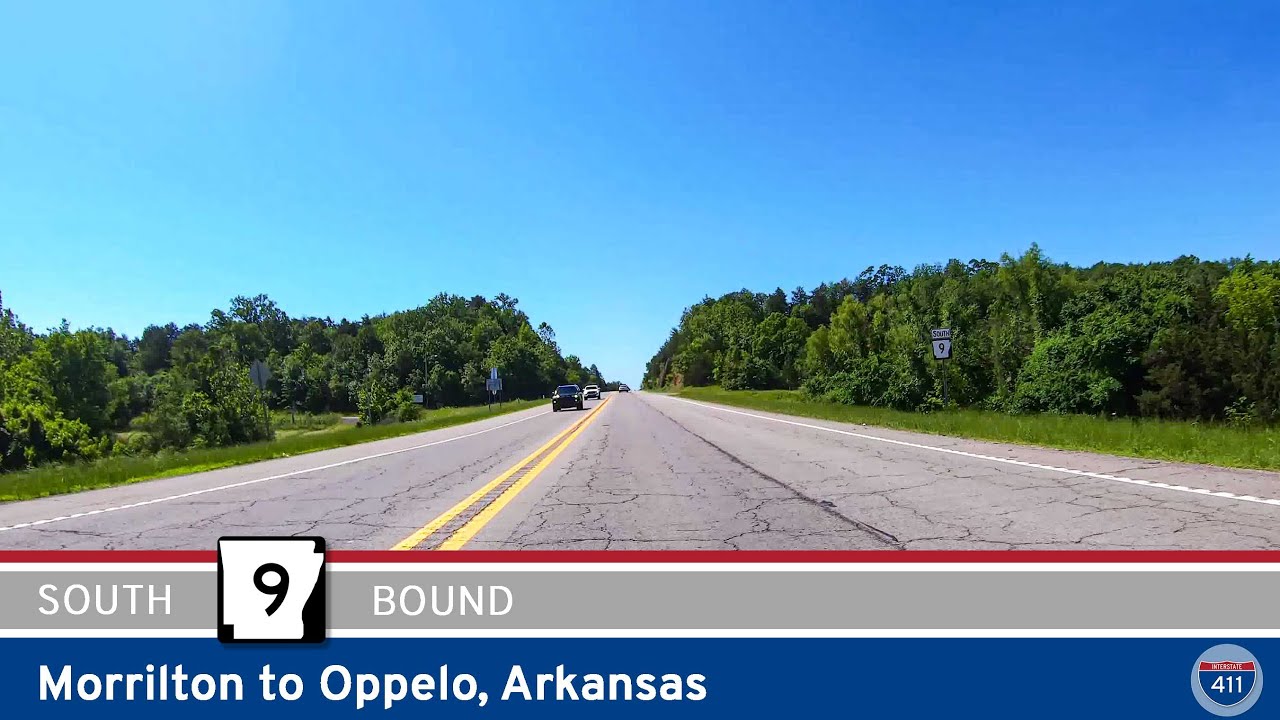
Drive 5 miles south on Arkansas Highway 9 from Morrilton to Oppelo, crossing the scenic Arkansas River and open farmland before reaching the junction with AR-154 near Petit Jean State Park.
![[Revisited] Arkansas Highway 9: Clinton to Mountain View – Arkansas](https://openroadarchive.com/wp-content/uploads/2025/06/jbcz-9ycje0maxresdefault.jpg)
Explore the scenic 35-mile drive along Arkansas Highway 9 from Clinton to Mountain View. Discover charming Ozark towns, lush forests, historic communities, and vibrant arts culture along this winding Arkansas route.
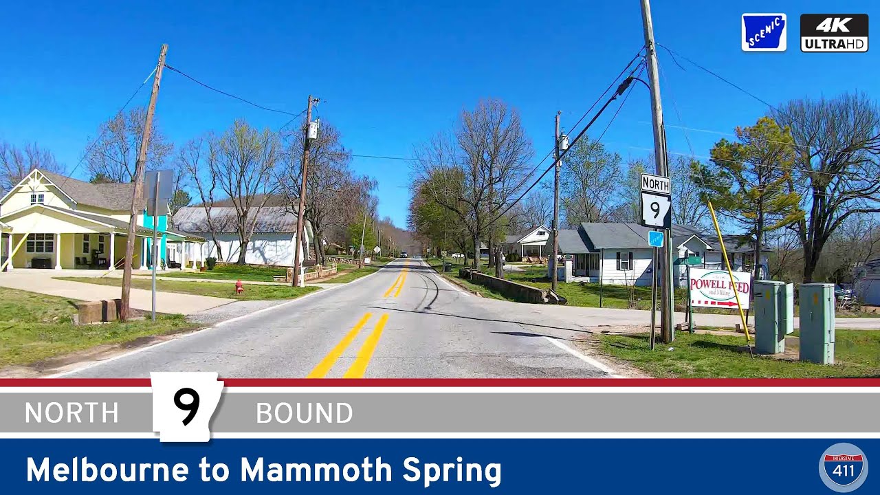
Take a scenic 46-mile drive along Arkansas Highway 9 from Melbourne to Mammoth Spring, exploring the Ozark Plateau’s forests, farmland, and small towns. This quiet route ends across from the stunning Mammoth Spring State Park, home to one of the largest natural spring…
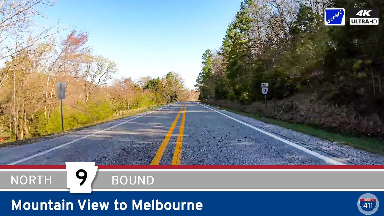
Drive 25 miles through the Ozark Highlands on Arkansas Highway 9 from Mountain View to Melbourne. Experience tight switchbacks on Polk Mountain, rolling farmland, and authentic Ozark charm along this scenic north-central Arkansas route.
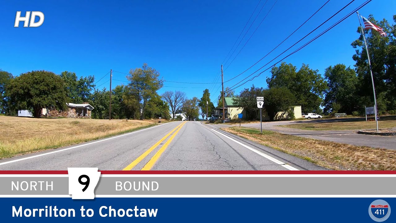
Take a scenic 34-mile drive along Arkansas Highway 9 from Morrilton to Choctaw. This peaceful route winds through farmland, forest, and small towns, connecting central Arkansas to the edge of the Ozarks.
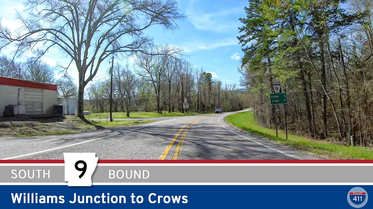
Cruise 22 miles down Arkansas Highway 9 from Williams Junction to Crows for a classic Ouachita drive. Experience the dense Ouachita National Forest, pass through rural communities like Paron and Unity, and enjoy scenic views, peaceful backroads, and true Arkansas hospit…
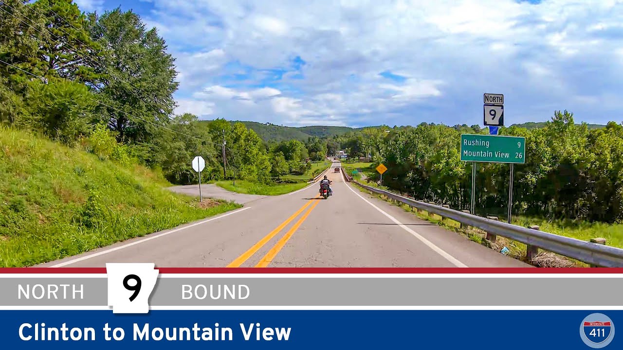
Cruise Arkansas Highway 9 for 34 miles from Clinton to Mountain View. This scenic backroad cuts through Ozark forests and farmland, passing Shirley and Rushing before ending in the folk music hub of Mountain View.
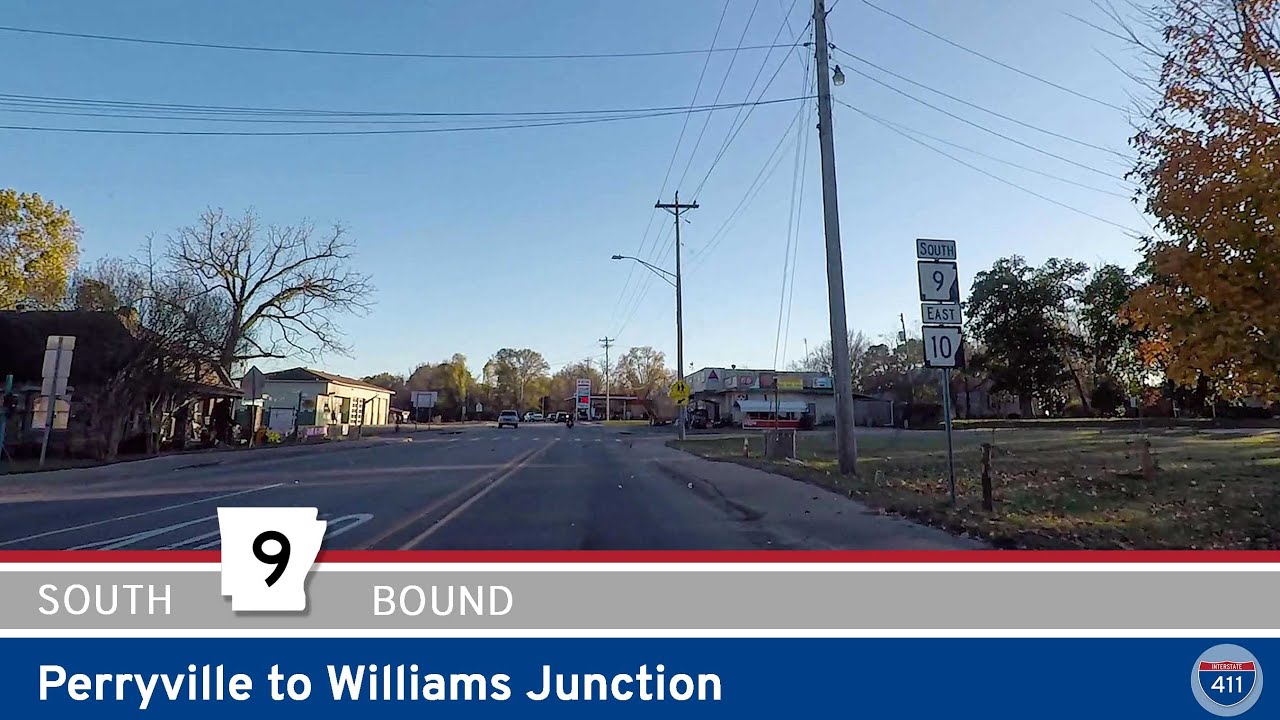
Cruise 10 miles along Arkansas Highway 9 from Perryville to Williams Junction, winding through the wooded foothills of the Ouachita Mountains with river crossings, rural communities, and classic Arkansas scenery.
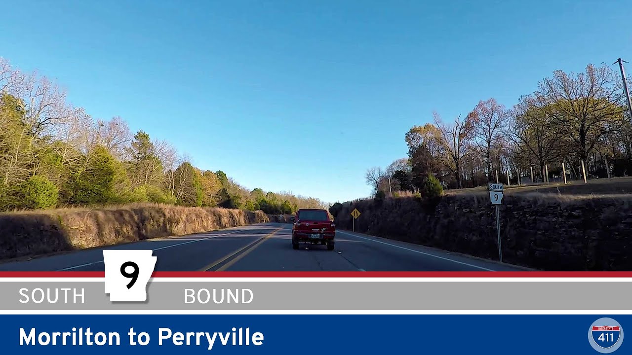
Explore Arkansas Highway 9 from Morrilton to Perryville—a 15-mile drive showcasing river crossings, farmland, and the rolling Ouachita Foothills. Perfect for a quick scenic escape through the heart of central Arkansas.
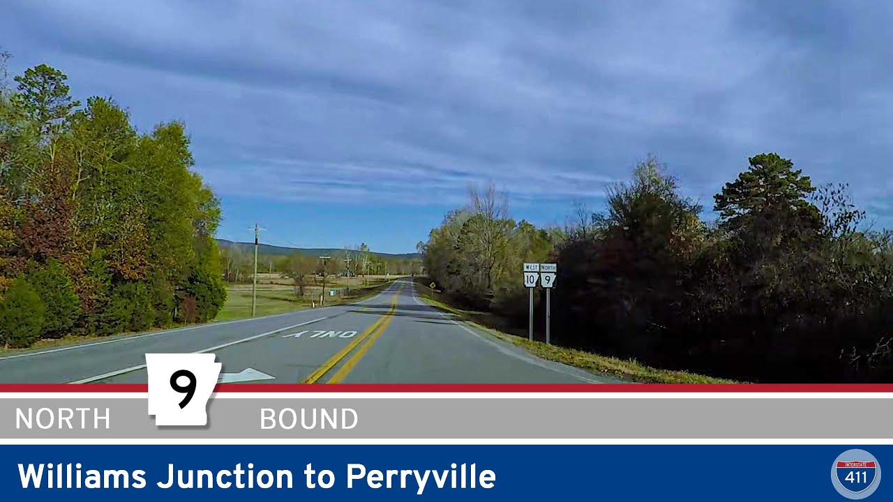
Take a relaxing 10-mile drive along Arkansas Highway 9 from Williams Junction to Perryville. Wind through the Ouachita foothills, cross the scenic Fouche La Fave River, and arrive in the friendly heart of Perry County, Arkansas.