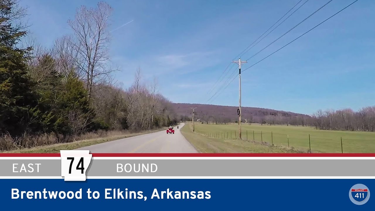
Take a winding ride through the rugged heart of the Boston Mountains as we follow Arkansas Highway 74 from Brentwood to its terminus at Wyola, and then continue along a series of scenic county roads to reach Elkins. This 14-mile stretch of road is a hidden slice of rural Northwest Arkansas, steeped in natural beauty and quiet charm, far removed from the hum of the interstates. Though the state highway ends halfway through our journey, the road itself carries on with a story to tell—one of forests, farms, and forgotten crossroads.
Our journey begins just south of Brentwood, where we leave the busy corridor of U.S. Highway 71 behind and turn east onto Arkansas Highway 74. The transition is immediate—the road narrows, the landscape thickens, and we’re quickly enveloped in the steep, wooded slopes that define the Boston Mountains. AR-74 winds its way through dense forest canopy, following old hollows and creek beds that have shaped the Ozarks for millennia. Before long, we enter the community of Wyola, a small cluster of homes nestled into the folds of the hills. Here, Arkansas Highway 74 quietly ends, though you’d be forgiven for missing the transition. Google Maps may suggest otherwise, but locals know the truth: beyond Wyola, we’re now on County Road 43.
The road doesn’t lose its rhythm as it carries on past Wyola. In fact, CR-43 continues the same narrow, twisting path, hugging hillsides and tracing ridgelines as we veer northward toward Hicks. This is where the Ozarks show their subtler forms—not dramatic cliffs or overlooks, but rolling ridges and quiet glades, often opening into pastures where cows graze between split-rail fences. Hicks itself is little more than a waypoint, marked by a few homes and the junction with CR-45. It’s a reminder of the region’s rural DNA, where the land determines the path and the pace of life is shaped by terrain.
Leaving Hicks behind, CR-43 bends and curves toward the community of Sulphur City. Here, we make an easterly turn onto County Road 57, beginning the final leg of our journey. The road rolls gently through open stretches and tucked-away homesteads, hinting at the proximity of Elkins but still feeling miles from town. As we approach AR-16, the woods thin, the terrain softens, and we finally emerge at the edge of Elkins—where our drive concludes at the junction of CR-57 and Arkansas Highway 16.
In a region where interstates dominate travel and towns sprawl outward, this tucked-away route stands as a reminder of the roads that came first—routes that still serve, still connect, and still offer the kind of quiet, unfiltered Arkansas that travelers rarely get to see. It’s not a highway for the hurried. It’s a road for those willing to follow the curves and let the hills decide where the journey ends.
🗺️ Route Map

0 Comments