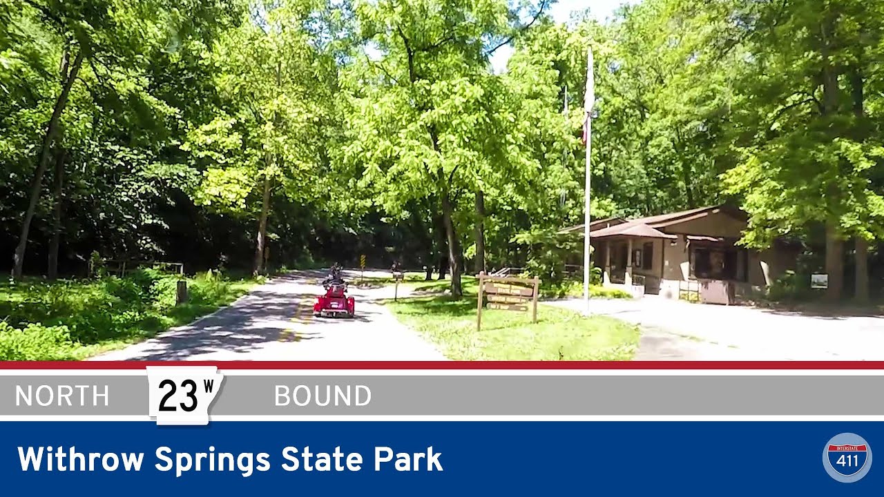
Traveling south along Arkansas Highway 23 from Withrow Springs State Park to Brashears takes us on a beautiful 30-mile drive through the rolling hills and hidden gems of northwest Arkansas. This route not only serves as a key connection between communities in Madison County, but also offers a glimpse into the natural beauty and rural charm of the Ozarks. Starting just south of Withrow Springs State Park—one of the more popular spots for camping and floating on War Eagle Creek—we begin by heading into Huntsville, the county seat and the largest town along this stretch.
As we approach Huntsville, AR-23 quickly intersects U.S. Highway 412, a major east-west corridor in the region. From there, we take a turn at the US-412B junction to loop through the central business district. Huntsville is a quaint but active town, with a traditional square, local shops, and eateries that cater to both travelers and locals. Staying on AR-23 south, we exit the town via Harris Street, setting our course toward the smaller communities that dot the countryside.
Just beyond town, the landscape opens up to a blend of farmland and thickly wooded ridges. After crossing Arkansas Highway 74, we pass through the small community of Aurora near the junction with AR-127. While Aurora is modest in size, its surrounding farmland and pastures are emblematic of rural life in the Ozarks. Continuing southbound, the scenery becomes increasingly scenic, especially as we approach the town of Witter. Here, you’ll find picturesque curves flanked by rolling terrain, offering glimpses of ridgelines and valleys alike.
South of Witter, we reach the key intersection with Arkansas Highway 16. From this point onward, AR-23 and AR-16 are co-signed for a stretch as they head southwest into St. Paul—a small town tucked into the upper reaches of the Ozark National Forest. St. Paul is a great stop if you’re looking to refuel, grab a snack, or simply stretch your legs before the more rugged terrain ahead.
Leaving St. Paul, the route takes us deeper into the Ozark National Forest. This segment, part of both AR-23 and AR-16, is defined by sweeping curves, forested hillsides, and several elevation changes that hint at the mountainous terrain further south. It’s a prelude to the famed Pig Trail Scenic Byway, which begins just a few miles ahead at Brashears. That’s where this drive ends—at the junction where AR-16 continues west, and we turn onto the southbound AR-23, entering the Pig Trail proper, a stretch known for its iconic hairpin turns and breathtaking mountain views.
Whether you’re a local taking the scenic route or a traveler exploring the Arkansas backroads, this section of AR-23 offers a mix of natural beauty, quiet communities, and access to some of the most scenic routes in the state.
🗺️ Route Map

0 Comments