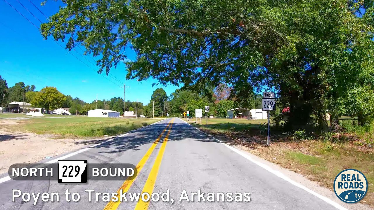
Take a quiet ride through the pinewoods of south-central Arkansas as we follow Arkansas Highway 229 northbound from Poyen to Traskwood—a short but character-rich connector where tree farms, hay fields, and scattered homesteads trace the rhythm of everyday life between two close-knit communities. We begin in the heart of Poyen at the junction with US-270, where a small commercial strip clusters around the highway before giving way to neighborhood streets and the edges of the local school campus. As we ease onto AR-229, the posted limits drop the pace to something more conversational than hurried, and the highway wastes no time settling into its two-lane cadence: double-yellow centerlines, narrow shoulders, and long views across gently rolling ground shaped by timber harvests and pastureland.
Leaving town, the road threads between planted pine stands laid out in near-geometric grids, their straight rows broken only by fencerows and the occasional gate leading to a logging track. These are working forests—rotated and thinned on schedule—and the presence of stacked pulpwood or a slow-moving log truck is a reminder that this corridor feeds mills in both Grant and Saline Counties. Between the pines, the countryside opens briefly to hay fields, rusty barns, and stock ponds sunk into sandy soil that drains quickly after a rain. Every mile or so, a gravel county road cuts away toward homesteads tucked deeper in the woods, hinting at the lattice of local life that depends on AR-229 as its main artery.
Crossing the subtle rise that marks the Grant–Saline county line, the scenery stays rural but begins to offer more signs of settlement—mailbox clusters at the edge of the pavement, powerline cuts widening in anticipation of denser distribution, and small churches set back from the road behind gravel aprons. The highway remains straight and predictable, but its shoulders pinch in places, reminding us that this is an older alignment built for local needs, not modern throughput. Sightlines stay generous enough for an easy cruise, yet the occasional tractor or school bus encourages patience and a willingness to let the road’s natural tempo lead the way.
As we approach Traskwood, the change is gradual rather than abrupt. The neat pine rows break into mixed hardwoods, driveways shorten, and hand-painted yard signs appear near the edge of the ditch. A modest grid of streets branches off toward neighborhoods built on older farmsteads, and light-industrial sheds mix with equipment lots that serve the surrounding timber tracts. We pass a school-zone sign, the telltale marker that we’re entering a place where the pavement is less a corridor and more a front porch—where afternoon walkers, crossing students, and barking dogs carry as much right to the space as the vehicles moving through it.
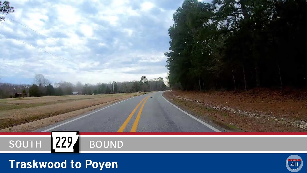
The drive ends where AR-229 meets Main Street, a quiet junction that disperses traffic toward bottomland farms, rural churches, and the meandering county roads that shadow the Saline River. It’s not a dramatic terminus, but rather a fitting one: a reminder that in this part of Arkansas, roads are connectors of people more than places—threads stitched through timber geometry, family land, and the dependable routines that anchor small-town life. Short as it is, the route captures a full portrait of the region’s character: practical, unhurried, and rooted in the slow-growing trees that define both its economy and its skyline.
🎵 Music: Track List
Music from this video may be available for purchase at https://theopenroadcollective.com
🗺️ Route Map
![Arkansas Highway 46: Sheridan to Leola [Revisited]](https://openroadarchive.com/wp-content/uploads/2025/10/kyk61mgzg1umaxresdefault-320x180.jpg)
0 Comments