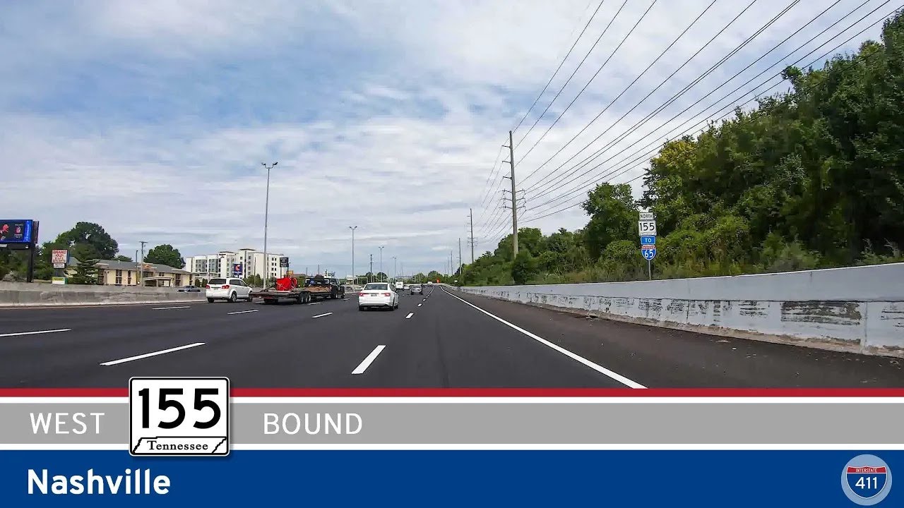
Explore 16 miles of Nashville’s Briley Parkway (TN-155) as we travel westbound across the Cumberland River, connecting key interstates and bypassing the city’s core. From Opry Mills to I-40, this route showcases both
Navigate bustling city streets and suburban sprawl with Urban-tagged videos highlighting metropolitan areas and their surrounding infrastructure.
The 🏙️ Urban Route tag is applied to highways and road segments that pass through major metropolitan areas or densely populated cities. These routes are characterized by busy traffic patterns, multi-lane interchanges, skyline views, and close proximity to residential, commercial, and industrial zones.
Urban routes often serve as vital connectors within a city’s infrastructure, linking downtown districts to suburbs, airports, or regional transit hubs. They may include elevated sections, tunnels, or complex junctions, and are frequently surrounded by signage, sound barriers, and city landmarks.
Explore 16 miles of Nashville’s Briley Parkway (TN-155) as we travel westbound across the Cumberland River, connecting key interstates and bypassing the city’s core. From Opry Mills to I-40, this route showcases both
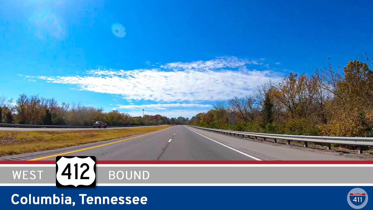
Take a 14-mile drive along U.S. Route 412 through Columbia, Tennessee, from Interstate 65 to U.S. Highway 43. This route blends farmland, forest, and urban Columbia, including a Duck River crossing and access to major highways.
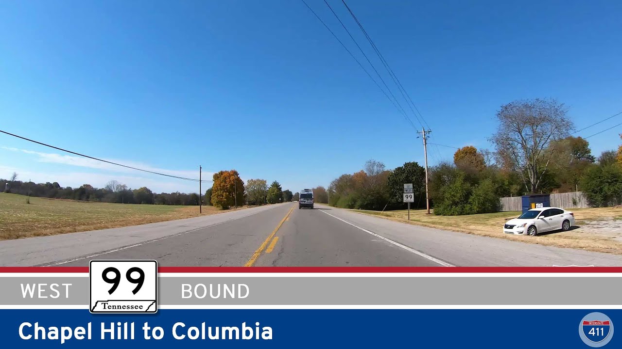
Drive Tennessee Route 99 from Chapel Hill to Columbia for 12 scenic miles through farmland, forest, and river valleys. Follow this relaxing rural route to Columbia via Bear Creek Pike and key junctions with US-431 and I-65.
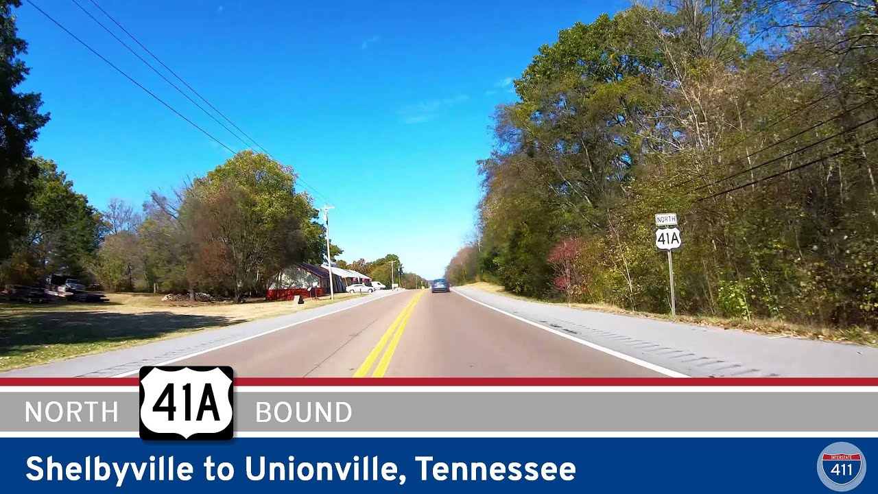
Take a peaceful 7-mile drive north along U.S. Route 41A from Shelbyville to Unionville, Tennessee. This short scenic route passes through rural farmland, woodlands, and quiet countryside, ending at TN-270 toward Columbia.
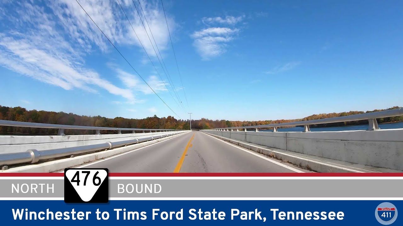
Take a scenic ride along Tennessee State Route 476 from Winchester to Tims Ford State Park. This short but beautiful drive crosses Tims Ford Lake twice, offering views of rural farmland, forested hills, and lakeside recreation in Franklin County.

Take a scenic 15-mile drive along U.S. Route 41 from Chattanooga to Haletown, Tennessee. This short but beautiful stretch travels through Lookout Valley, along the Tennessee River, and past Nickajack Lake—with forested hills, riverside views, and local history along t…
![[Revisited] Interstate 24: Chattanooga – Tennessee](https://openroadarchive.com/wp-content/uploads/2025/06/pzu73v6mr7kmaxresdefault.jpg)
Take a 12-mile ride west along Interstate 24 through Chattanooga, Tennessee — from the I-75 interchange to Lookout Valley — exploring downtown views, riverfront curves, and iconic landmarks like Lookout Mountain along the way.
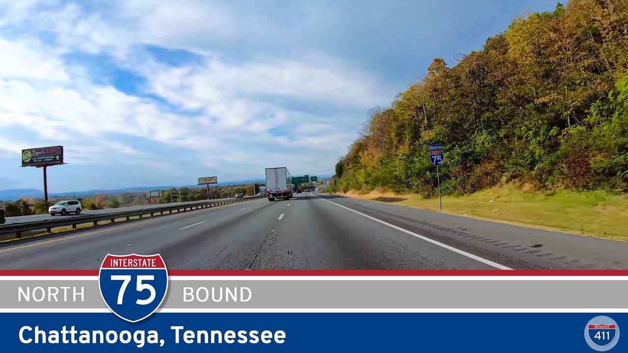
Take a drive along Interstate 75 in Chattanooga, Tennessee as we head 9 miles north from the Georgia border through East Ridge, past key interchanges like I-24, TN-320, and TN-153, ending at Bonny Oaks Drive. Explore the gateway to eastern Tennessee and the bustling eas…
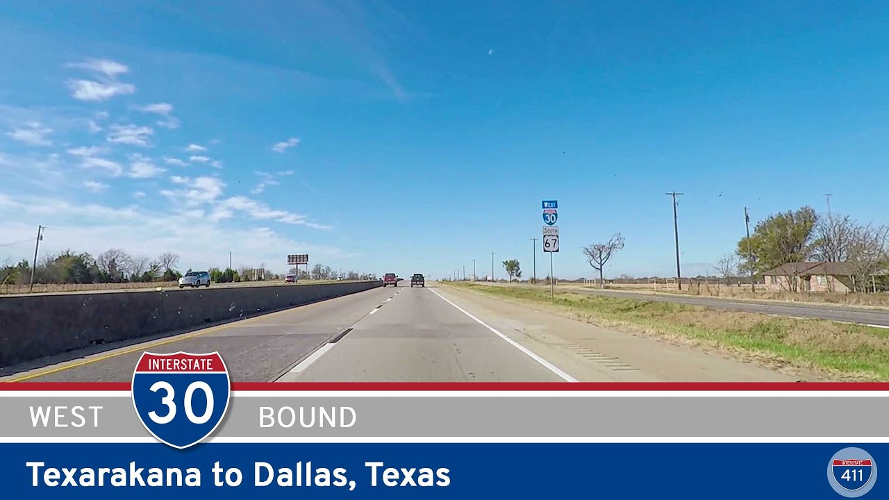
Cruise 166 miles west on Interstate 30 from Texarkana to Dallas, Texas. From small towns and lakeside views to military sites and big city vibes, this route offers a cross-section of Northeast Texas life—all connected by one major highway.
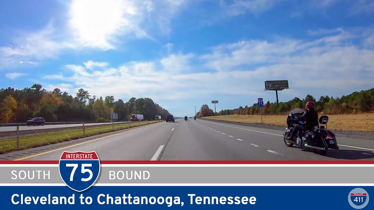
Cruise 22 miles south along Interstate 75 from Cleveland to Chattanooga, Tennessee, and on into Georgia. This busy route winds through Chattanooga’s northeastern suburbs and ends just across the state line, serving as a vital connector between growing communities and …
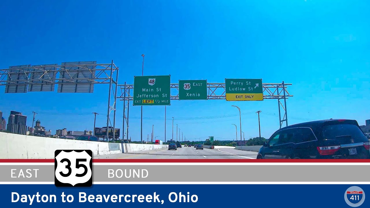
Take a 6-mile ride east along U.S. Route 35 from downtown Dayton to Beavercreek, Ohio. This urban-to-suburban stretch links major interchanges, local neighborhoods, and key routes like I-75 and I-675, all while offering views of Dayton’s skyline and access to nearby a…
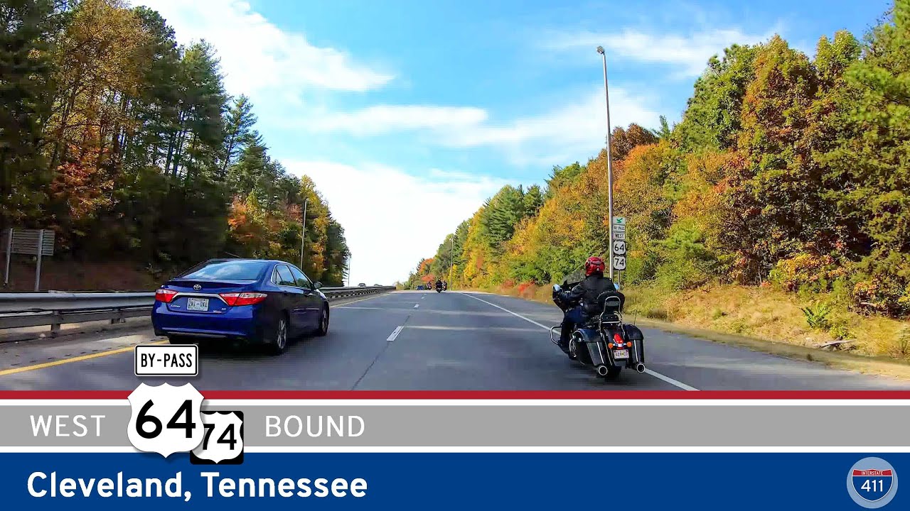
Cruise along the U.S. 64 Bypass in Cleveland, Tennessee, as we follow U.S. Route 74 for 7 miles around the city’s southern edge—connecting local routes to Interstate 75 and helping traffic avoid the downtown core.