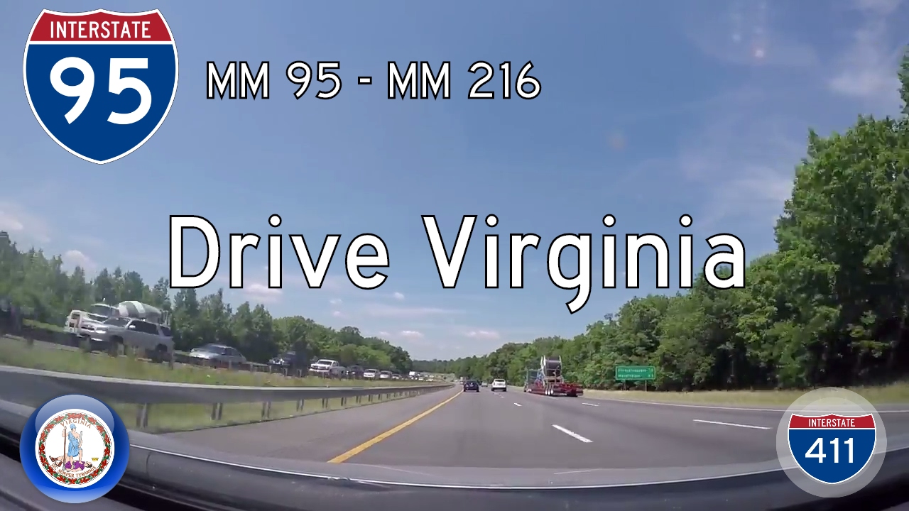
Take a high-speed ride through the rolling Piedmont region of Virginia as we follow Interstate 95 from Ashland to Fredericksburg. This 31-mile segment of America’s busiest north–south interstate serves as a vital commuter and freight route—but there’s more to this stretch than just traffic. From rural woods and Civil War battlefields to the urbanizing fringe of Northern Virginia, the landscape along this corridor is a study in contrasts, history, and fast-paced transformation.
We begin our journey at Mile Marker 95, just north of Ashland, where the highway splits away from the Richmond metro area’s influence and enters a more wooded and gently undulating terrain. Ashland, known for its small-town charm and the historic presence of Randolph-Macon College, quickly gives way to forest-lined medians and thick buffers of hardwood trees on both sides of the highway. This stretch of I-95, while often busy, still hints at a more rural character, especially in the early morning light or during autumn when the foliage bursts into fiery hues. As we pass Exit 98 for Virginia Route 30 near Doswell—home of Kings Dominion, one of the region’s largest amusement parks—we begin to notice signs of increasing development, yet the surrounding landscape remains surprisingly green.
Continuing northward, the road gradually rises and falls with the natural topography of central Virginia. Interspersed between long stretches of trees are occasional glimpses of small farms, modern subdivisions, and park-and-ride lots that hint at the commuter culture taking shape along the corridor. At Exit 104 for Carmel Church, the highway crosses Virginia Route 207, serving the nearby town of Bowling Green—an area steeped in history and increasingly a bedroom community for larger employment centers. Here, freight traffic begins to mix more noticeably with passenger vehicles, a sure sign that we’re edging closer to the exurban edge of the Washington D.C. megalopolis.
As we approach Caroline County’s Exit 110 at Ladysmith and then Exit 118 for Thornburg, the landscape shifts once more. What was once largely wooded and rural becomes increasingly fragmented by commercial development: gas stations, logistics hubs, and chain restaurants crop up near the interchanges, offering modern conveniences to road-weary travelers. The highway itself broadens with additional lanes and upgraded interchanges, reflecting its growing importance as a corridor for both interstate commerce and daily commuting. North of Exit 118, we cross over the Ni River and enter Spotsylvania County—a name that resonates with Civil War history. Just a few miles east lie the Fredericksburg and Spotsylvania National Military Park sites, reminders of some of the most intense fighting of the war.
We end our drive near Mile Marker 126 in Fredericksburg, a city that straddles past and present with striking duality. Its historic downtown, situated along the Rappahannock River, is a gem of colonial architecture, while its suburbs have expanded rapidly with the tide of Northern Virginia’s growth. At this point, I-95 transitions from a highway serving local towns and tourists into a pressure-cooker for D.C.-bound commuters. The once-quiet corridor has become a funnel into the Washington metropolitan area, complete with high-occupancy toll lanes and frequent bottlenecks. Yet even in this chaos, the memory of Virginia’s quieter past lingers just beyond the sound walls.
This stretch of I-95 is more than just asphalt and noise—it’s a snapshot of modern America, caught between rural past and urban future. It carries the weight of our nation’s history while shouldering the demands of our present. And in between, there’s the ride itself—sometimes frustrating, sometimes beautiful, but always moving forward.
🗺️ Route Map

0 Comments