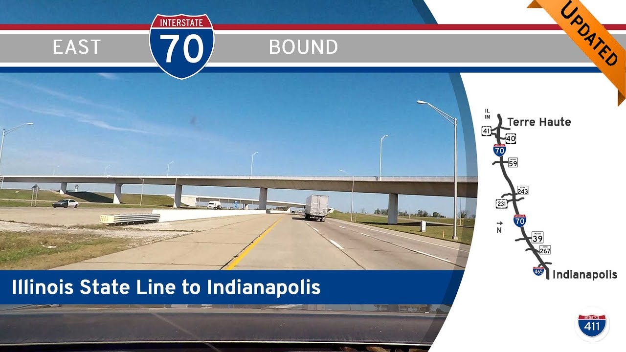
Take a ride across the heart of Indiana as we follow Interstate 70 for 81 miles from the Illinois state line to downtown Indianapolis. This journey, spanning the Wabash Valley to the Circle City, traverses classic Midwest farmland, wooded hills, and rapidly expanding suburbs—offering a straight-shot look at Indiana’s role as a crossroads of America.
Our trip begins just after we cross the Wabash River and enter Terre Haute, where the road flows into the state with a mix of welcome signage and a backdrop of low-lying timberland. Almost immediately, we encounter signs of progress—construction zones signal ongoing efforts to modernize this corridor. Terre Haute is a regional anchor, home to Indiana State University and a revitalized downtown core, though I-70 skirts it just far enough south to keep moving. Before long, we exit the city and slip into a more rural rhythm, gliding past interchanges for IN-59 and IN-243, and deeper into the wooded stretches of west-central Indiana. The rolling terrain and tree-lined right-of-way feel surprisingly secluded at times, despite being on one of the nation’s most vital east-west interstates.
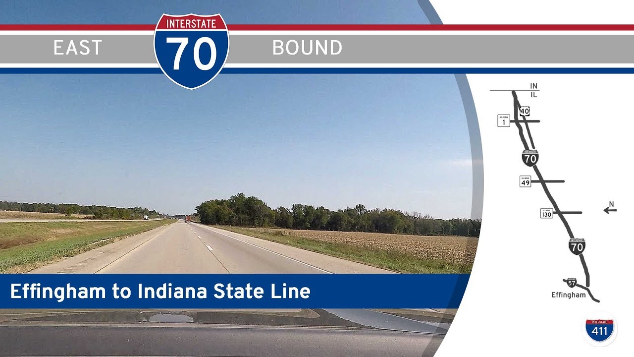
East of Cloverdale, we intersect with U.S. Highway 231, a major north-south route that crosses the state from Lafayette to the Ohio River. From here, I-70 begins a subtle shift northeastward, passing near IN-39 and preparing us for the approach into Indianapolis’s ever-growing metro. By the time we reach Plainfield, suburbia is in full swing. Warehouses, distribution centers, and logistics hubs begin to dominate the landscape, and it’s no coincidence—this corridor is one of the busiest freight zones in the Midwest. We pass IN-267 before skirting the southern edge of the newly modernized Indianapolis International Airport, which underwent a complete relocation and rebuild in the late 2000s. Today, sleek flyovers and efficient access roads connect the airport to the highway, a reminder of Indy’s centrality to national travel networks.
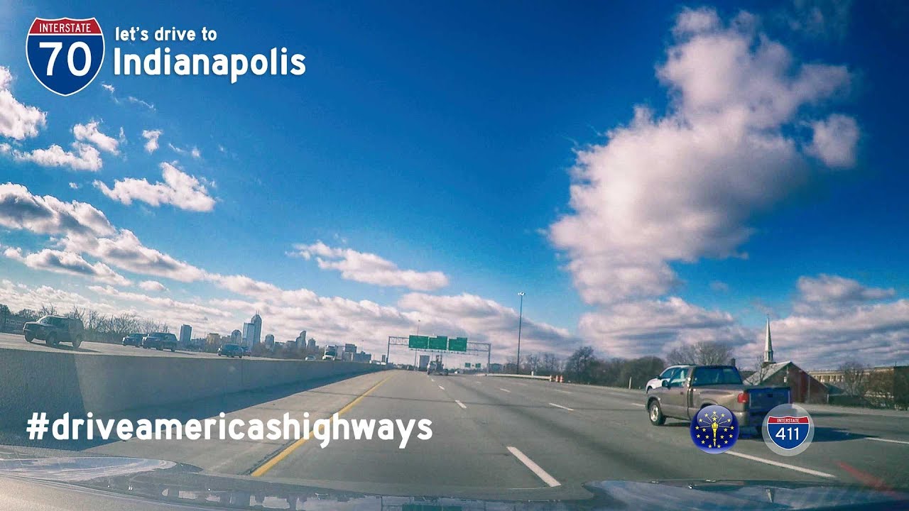
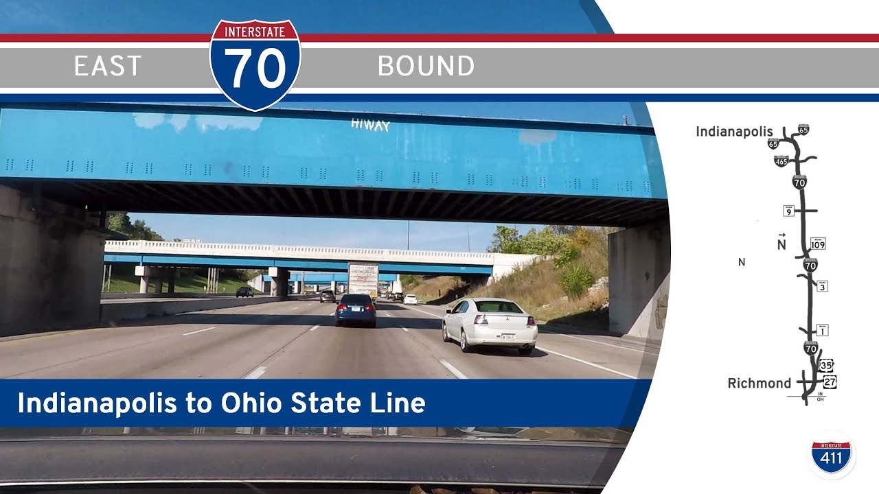
Continuing east, the skyline of Indianapolis comes into view—slowly but confidently rising above the flat expanse. I-70 hugs the southern edge of downtown, threading through a dense web of overpasses, ramps, and merges. This section, once notorious for congestion and weaving lanes, has seen substantial reconfiguration over the years to improve traffic flow. We end our trip at the interchange with Interstate 65, a critical north-south axis linking Louisville and Chicago. It’s here, in the shadow of Lucas Oil Stadium and a stone’s throw from Monument Circle, that the road hands us off to the city itself.
This drive is a reminder that while some stretches of interstate are purely utilitarian, others—like I-70 through Indiana—are freighted with meaning. They move not only goods and vehicles, but history, ambition, and change. From the banks of the Wabash to the beating heart of Indianapolis, this is a corridor that defines Indiana’s place in the American story.
🗺️ Route Map
0 Comments