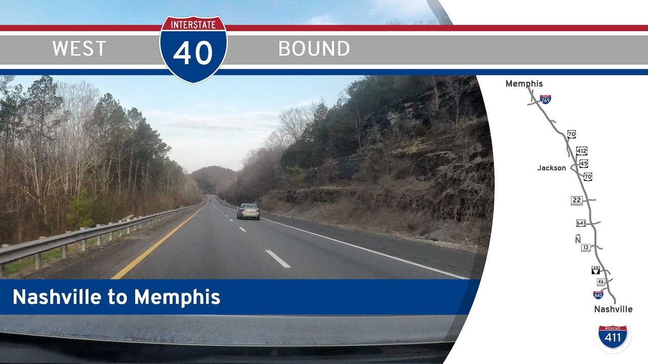
Take a ride through the bustling core of Memphis as we follow Interstate 40 westbound for fifteen miles, from the eastern side of the city to the mighty Mississippi River. This stretch of I-40 offers a front-row seat to the complex weave of Memphis freeways, neighborhood transitions, and iconic riverfront views—all tied together by the history and rhythm of this soulful city.
Our journey begins just east of the Interstate 240 interchange, where I-40 and I-240 meet near the heart of Memphis’s medical district. As we cruise west, we quickly plunge into a dense urban corridor, flanked by the low-slung warehouses and commercial structures that define this part of town. The road curves gently to the northwest, paralleling the Wolf River, an ancient tributary that meanders through the north side of the city. Even amidst the concrete sprawl, you can catch glimpses of the Wolf River Greenway, a popular multi-use trail winding through Memphis neighborhoods. The highway’s interchanges come frequently here, connecting to local roads and older highway corridors that hint at Memphis’s sprawling development over the decades.
Approaching Exit 2, we reach the interchange with U.S. Highway 51, which today carries the unsigned designation of Interstate 69 as part of the ambitious NAFTA corridor project. We make a distinct southern swing here, descending into North Memphis—an area steeped in industrial history and cultural roots. Off to the east lies Frayser, once a thriving suburb and now a district undergoing slow transformation. This segment of the drive illustrates the practical backbone of Memphis, where railroads, roadways, and distribution centers collide. It’s a brief southern diversion, but one that offers a striking contrast to the gleaming downtown skyline just out of view to the south.
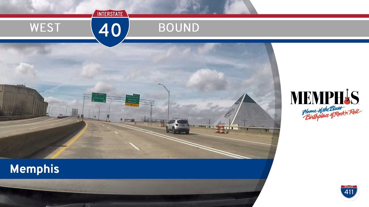
Soon enough, we curve back westward at the interchange with Interstate 240 south, bypassing the downtown grid. As we continue along I-40, the landscape becomes a vivid mix of urban scenery. At the Danny Thomas Boulevard interchange (which also serves U.S. 51), a quick look north reveals the iconic spire of St. Jude Children’s Research Hospital, one of Memphis’s most globally recognized institutions. Rolling westward, the city’s urban density eases slightly, and the shimmering glass and steel of the Memphis Pyramid comes into view—a giant glass structure now home to Bass Pro Shops, a hotel, and an indoor swamp, blending Memphis quirkiness with modern reuse.
Finally, the Hernando DeSoto Bridge rises ahead of us in all its majestic splendor. Nicknamed “The M Bridge” for its distinctive shape, it carries I-40 across the Mississippi River, providing an unforgettable view of the riverfront and the Arkansas flatlands beyond. Crossing the river, we leave Memphis behind, stepping into West Memphis, Arkansas, and the start of a very different journey westward.
Whether you’re a road enthusiast tracing the layers of Memphis’s development or a traveler seeking the quickest path across the river, this fifteen-mile stretch of Interstate 40 encapsulates the city’s heartbeat—its industry, its institutions, and its ever-changing skyline—before delivering you to the grand gateway of the Mississippi.
🗺️ Route Map


0 Comments