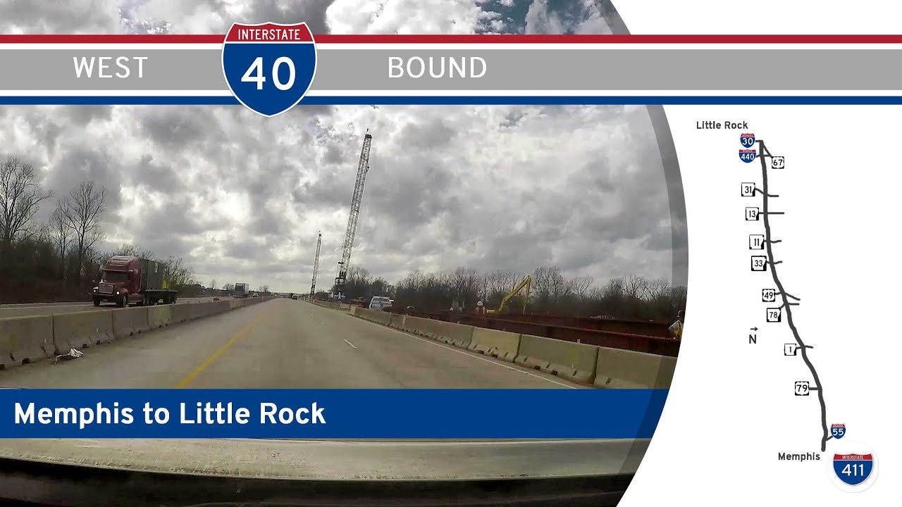
Take a scenic ride through the vast Arkansas Delta and into the rolling hills of Central Arkansas as we follow a bustling 135-mile stretch of Interstate 40 from Memphis to Little Rock. This journey spans floodplains, farmland, and emerging urban skylines—all while tracing one of America’s most important east-west corridors.
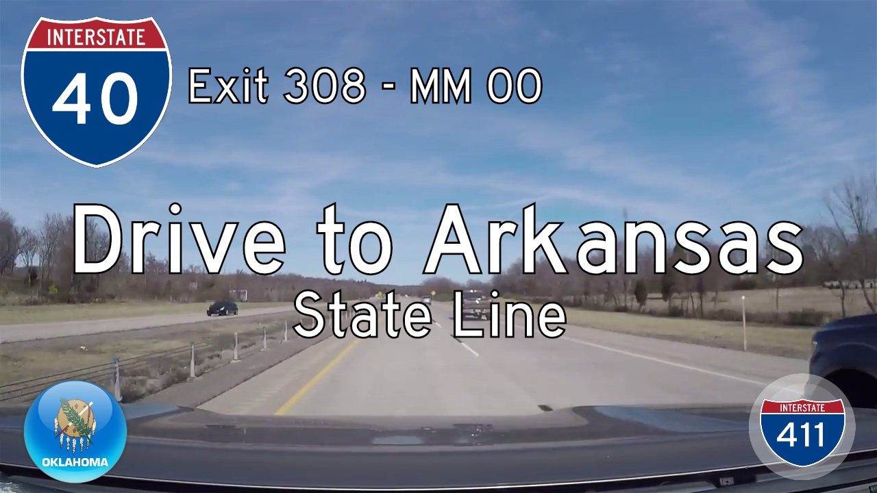
Our adventure kicks off on the towering Hernando De Soto Bridge, gracefully arching across the Mississippi River and marking the state line between Tennessee and Arkansas. As we descend into West Memphis, we’re greeted by a crossroads of commerce—this junction is a key node in the Mid-South’s freight network. Almost immediately, Interstate 55 joins our path, creating a brief marriage of two major highways. The dual route hums with activity, but before long, I-55 peels off to head north toward Blytheville, while we stay the course westward into the heart of Arkansas.
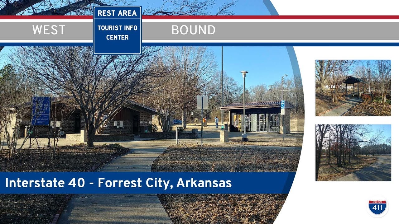
Leaving the urban sprawl behind, we soon plunge into the pancake-flat floodplain of the Mississippi River. This landscape tells a story of ancient waterways and rich agricultural history—endless fields stretch out under open skies, punctuated by occasional grain silos and irrigation rigs. This 35-mile expanse is classic Arkansas Delta country: fertile, humid, and prone to springtime floods. As we approach Forrest City, we climb the low-lying Crowley’s Ridge, a geologic oddity standing in contrast to the surrounding flatlands. Here, small towns like Palestine and Brinkley offer glimpses of rural life, with faded downtowns and roadside diners catering to travelers and truckers alike.
Continuing our southwestward course, the road remains predominantly rural but starts to pick up more energy. We cross the White River near the town of Hazen, a waterway that has long been a natural barrier and a lifeline for nearby farming communities. From here, subtle changes in elevation and land use signal our transition out of the Delta and into the fringes of Central Arkansas. The drive takes on a more suburban flavor as we pass through Lonoke, where fast food chains and distribution centers begin to dot the roadside, hinting that Little Rock isn’t far off.
Entering the Little Rock metro area, we quickly meet Interstate 440 and Arkansas 440, known as the east beltway, providing a loop around the city. Even here, I-40 keeps its distance from downtown, skirting the northern edges through North Little Rock. The corridor becomes more urbanized, with expanded lanes, sound barriers, and a steady increase in local traffic. Before we conclude our drive, we encounter the major interchange with US-67/US-167, a critical north-south artery that soon now bears the Interstate 57 designation, reflecting its growing importance in regional connectivity. Finally, we arrive at the terminal interchange where I-40 meets Interstate 30, a key pivot point for traffic heading south into Little Rock or west toward Texas.
This route encapsulates Arkansas’ evolving landscape—from the floodplains of the Mississippi River to the suburban growth of its capital city. It’s a drive that shows both the timeless rhythms of rural America and the relentless movement of modern logistics. Whether you’re a long-haul traveler or just passing through, this corridor is a vivid reminder of how highways tie together the diverse pieces of a region.
🗺️ Route Map
0 Comments