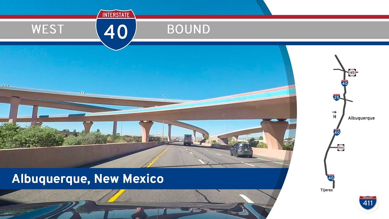
Take a high desert ride into the heart of New Mexico as we cruise 23 miles westbound on Interstate 40 through Albuquerque, a corridor that blends the scenic drama of the Sandia Mountains with the pulse of the state’s largest city. This drive offers not just a vital link across the state, but a visual and cultural tour of New Mexico’s past and present—from forested foothills to urban freeways and sweeping mesa views.
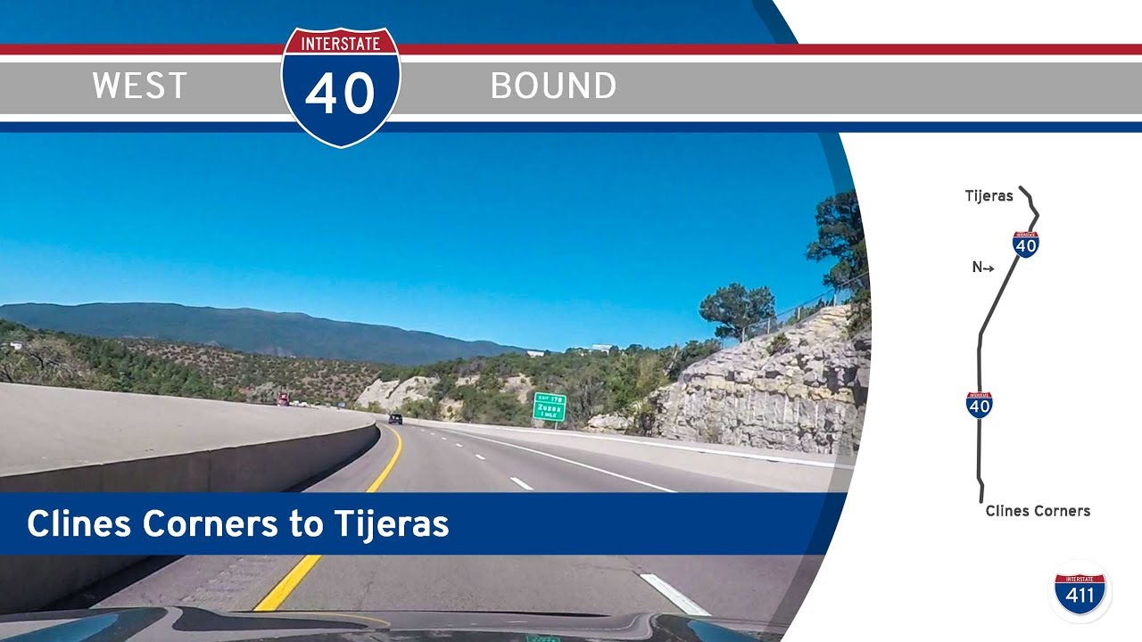
We begin our journey just past Exit 175 in Tijeras, perched in the forested basin of the Cibola National Forest, where I-40 has already descended from the higher elevations of eastern New Mexico. The terrain is striking here—steep, craggy hills cloaked in piñon pine and juniper, with sandstone outcrops marking the approach to the Sandia Crest to our right. This stretch feels remote, but within minutes the road gently bends through Carnuel, a centuries-old community now almost absorbed by Albuquerque’s suburban sprawl. This is where the freeway begins to unwind from its tight mountain curves and straightens out into the wide valley floor. We’re now following the Coronado Freeway, named for the Spanish explorer who traversed this region in the 1500s.
As we reach the eastern edge of Albuquerque proper, the city builds quickly around us—low adobe homes and stucco storefronts giving way to clusters of fast food joints, office parks, and big-box stores. At Exit 165, we cross under Wyoming Blvd, a key north-south corridor in the city, and from here westward the ride picks up speed and density. Traffic thickens as we near Central Avenue (Historic Route 66), and the freeway begins to glide over sound walls and frontage roads. By the time we reach the “Big I” interchange—a massive, multi-layered cloverleaf that connects I-40 with Interstate 25—we’re in the true heart of the city. This interchange was fully reconstructed in the early 2000s and now serves as the city’s traffic nerve center. The view from the flyovers is impressive: a full sweep of the Sandia Mountains behind us, and the skyline of downtown Albuquerque emerging ahead.
Past the Big I, I-40 continues west with a subtle rise and fall across the Rio Grande Valley. We pass the Old Town district to our right, where the city’s colonial roots are preserved in adobe buildings and cobbled streets. Just beyond, we cross the Rio Grande, whose broad, tree-lined banks bring a welcome splash of green to the otherwise dusty palette. This section of the freeway provides a brief but unmistakable reminder that we are in the Chihuahuan Desert, with sandy soil, yucca, and sagebrush reclaiming the shoulders.
As we leave central Albuquerque behind, the city’s grip loosens and the land opens up. Low commercial zones and the Laguna Pueblo satellite developments give way to long views of the West Mesa. While still technically within Albuquerque city limits, this stretch feels quieter and more transitional—marking the shift from urban intensity to high desert solitude. Our video ends just west of Exit 149, with the distant mesas glowing in the New Mexico sun, hinting at the vast open miles yet to come.
This drive is more than just a passage through Albuquerque—it’s a showcase of the city’s varied geography, history, and road culture. From mountainous forest to downtown flyovers, and finally to the edge of the desert, Interstate 40 here acts as both a connector and a narrator for the many layers of this uniquely Southwestern city.
🗺️ Route Map
0 Comments