Take a sweeping ride through the heart of Tulsa as we follow the full westbound journey of Interstate 244, an 11-mile urban loop that bridges the past and present of northeast Oklahoma. Known locally as the Crosstown Expressway, this urban spur offers a dynamic blend of industrial corridors, downtown skylines, and river crossings—all stitched together by a belt of elevated concrete and steel.
Our drive begins at the eastern terminus of I-244 near the Tulsa International Airport area, where the highway splits off from Interstate 44 in the city’s northeast quadrant. Immediately, we’re surrounded by industrial parks and warehouse rows, but the view quickly gives way to a dense interchange network. The first major crossing is with U.S. 169, known locally as the Mingo Valley Expressway, which provides access to the suburbs of Owasso and Broken Arrow. Just beyond that, Oklahoma State Highway 11 joins the fray—providing a quick hop north to the airport or south into Tulsa’s core. Overhead signage thickens, ramps weave in and out, and the city begins to close in.
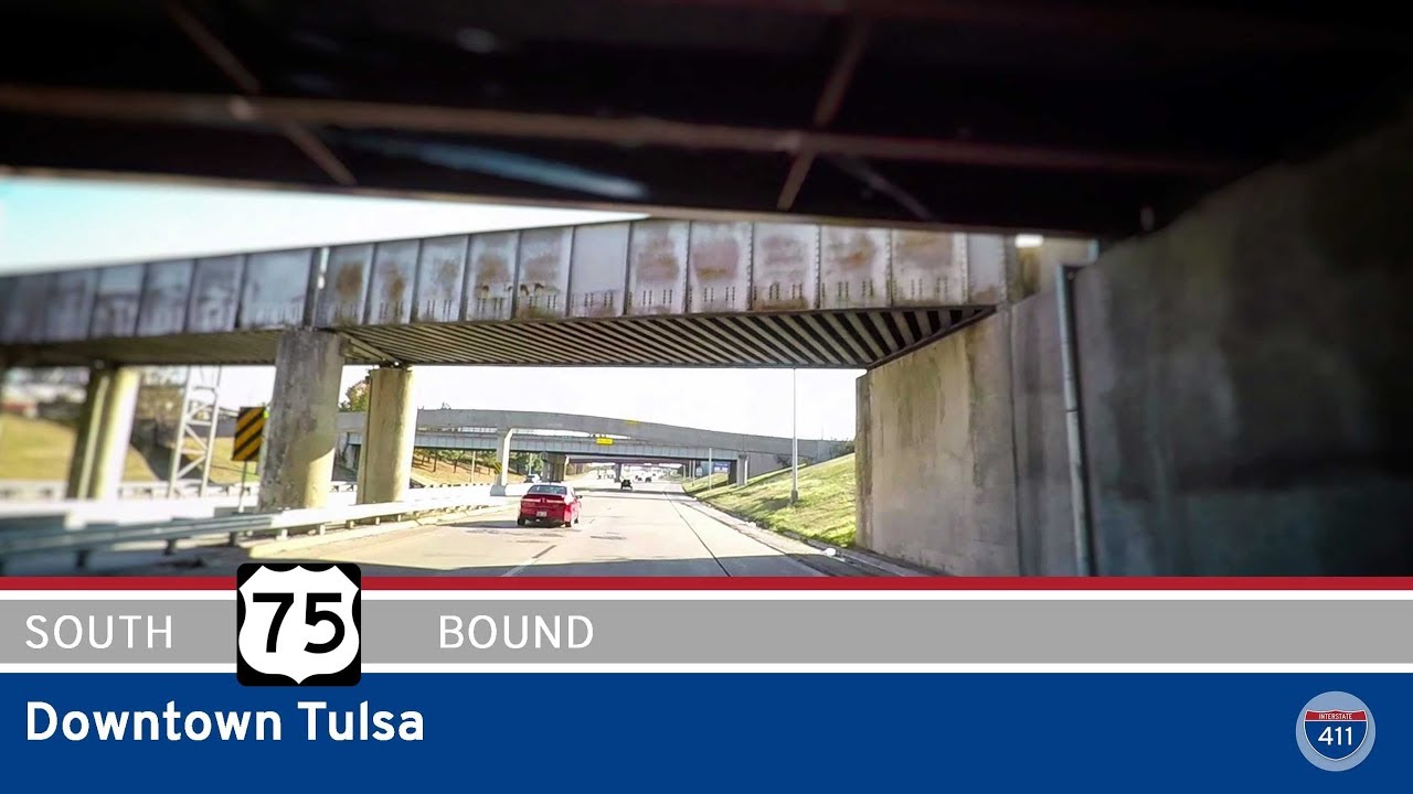
As we continue westward, the urban landscape grows increasingly complex. High-rise apartments and aging mid-century office blocks start to appear, signaling our approach to downtown. At US-75, we begin a gradual curve southward, wrapping around the downtown district like a protective arm. This segment—often overlooked by long-haul travelers—delivers one of the best elevated views of the Tulsa skyline. From this vantage, the BOK Tower, One Williams Center, and Philcade Building line up in a vertical tapestry that reveals Tulsa’s oil-boom-era wealth and modern aspirations. Beneath the overpasses lie the art-deco gems and revitalized neighborhoods that define Tulsa’s cultural core.
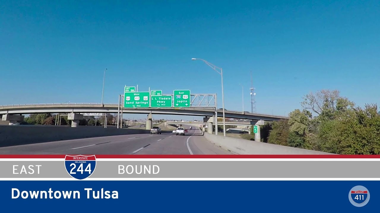
Soon we encounter the junction with US-412, also designated here as the Sand Springs Expressway. This connection provides an important westbound outlet toward the Arkansas River Valley and the Osage Hills. The same interchanges also connects us to the L.L. Tisdale Parkway—a short spur that links the Crosstown Expressway to the city’s northside communities and beyond. At this point, I-244 turns south to skirt the west side of downtown, with the Arkansas River to the south.
We end our journey at the southwestern leg of downtown, exiting the highway to merge with US-64 just before the route bends again toward Interstate 44. This terminal segment reflects Tulsa’s changing transportation priorities—balancing efficient through-traffic flow with access to revitalized urban districts. It’s a brief but vivid cross-section of a city in motion, where elevated expressways and rail lines coexist with civic spaces and historic landmarks.
Interstate 244 may not span great distances, but it captures the essence of Tulsa: a city built on railroads and refineries, now transitioning into a hub of culture, art, and connectivity. Whether you’re passing through or heading downtown, this route offers more than a shortcut—it offers a glimpse into the layered infrastructure and evolving identity of Oklahoma’s second-largest city.
🗺️ Route Map
0 Comments