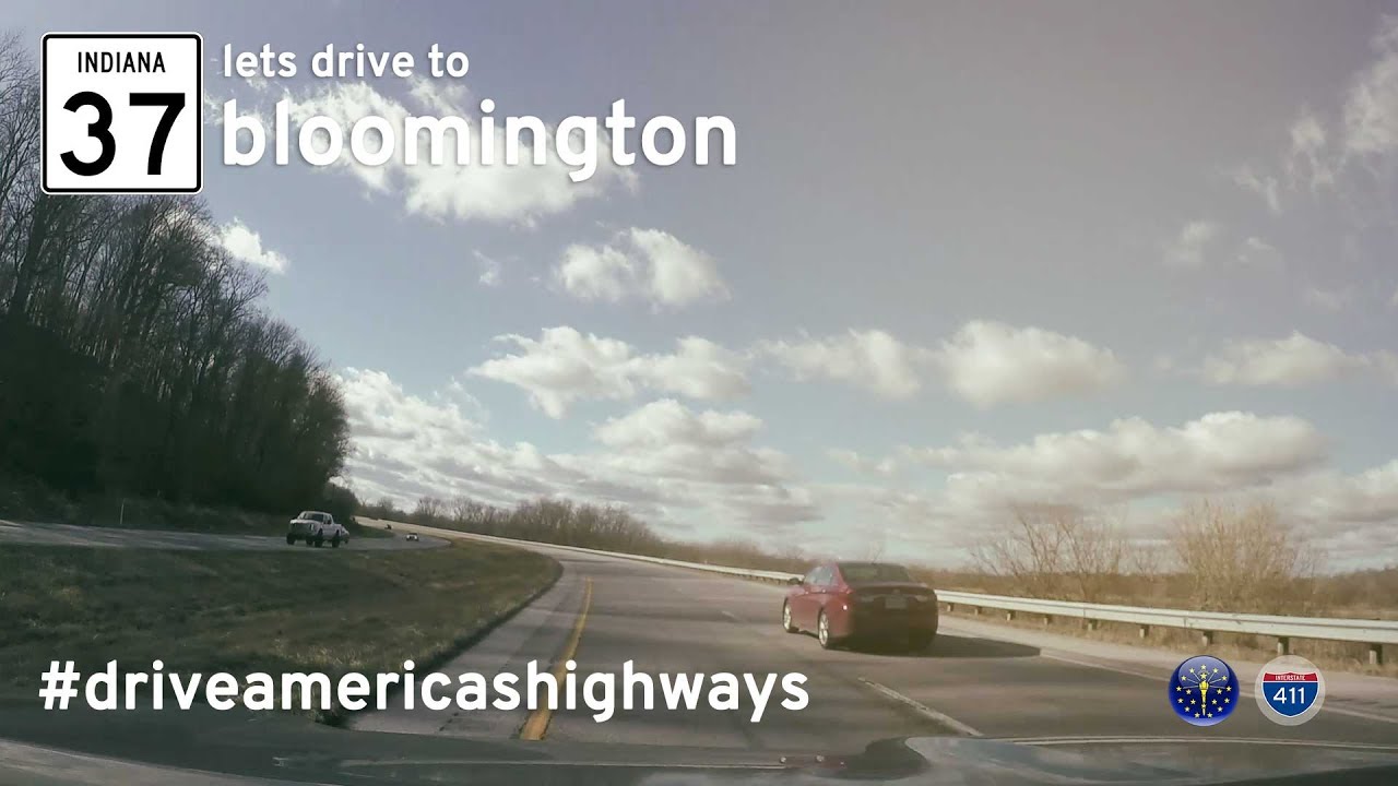
Take a drive through Indiana’s shifting highway history as we follow Indiana State Road 37 from the southern edge of Indianapolis to the college town of Bloomington. This 48-mile route is more than just a connection between two cities—it’s a corridor in transition, as nearly every inch of pavement we travel is now part of the newly minted Interstate 69. Filmed before this transformation was complete, this drive captures a lost moment in time, when the road was still SR-37, winding past construction zones and small towns, holding onto its local identity even as it prepared to become part of a major north-south artery.
We begin our journey at the interchange with I-465 on the south side of Indianapolis, where Route 37 branches off and heads southwest through Marion County’s last fringes of suburban sprawl. Almost immediately, signs of the future I-69 project begin to appear—bridges under construction, temporary barriers, and detours shaping what’s to come. Despite these intrusions, there’s a sense of continuity as we pass by familiar names like Wicker Road and Epler Avenue, reminders that for decades, this road served as a regional lifeline long before the interstate dreams took hold.
Leaving the shadow of Indianapolis behind, we descend into Morgan County and the town of Martinsville, a community that has always been closely tied to the fortunes of SR-37. For years, drivers dreaded the traffic lights and congestion here, but the I-69 upgrade aims to change that. Even during filming, we see evidence of the coming shift: new overpasses being installed, ramps taking shape, and old access roads slowly vanishing. Yet Martinsville still shows its character, with visible local businesses clinging to the roadside—many of which would soon be bypassed or reoriented to face frontage roads rather than the main flow of traffic.
South of Martinsville, the landscape opens up into a more pastoral rhythm. Gentle hills and patches of forest begin to dominate, a prelude to the limestone country of Monroe County. It’s a beautiful stretch that quietly hints at the edge of the Indiana Uplands region. Here, we start to feel the pull of Bloomington and Indiana University, even as the road remains in flux. Orange barrels line the shoulders, delineating where lanes will shift or new ones will rise. It’s as if the earth itself is rearranging to carry a different kind of momentum—a federal-grade, high-speed corridor destined for bigger things.
Our drive ends just north of Bloomington, at the then-terminus of I-69, where the old SR-37 designation disappears into the future. For travelers today, much of this drive is already part of Interstate 69, and the changes are dramatic. Ramps, overpasses, and interchanges have replaced stoplights and two-lane connectors. The lost highway feel is almost entirely gone. But in this video, we capture what once was—a road caught mid-evolution, still bearing its state route number and a few last reminders of its quieter, simpler role in Indiana’s road network.
🎵 Additional Music:
Rock Tune by Audionautix is licensed under a Creative Commons Attribution license (https://creativecommons.org/licenses/by/4.0/)
Artist: http://audionautix.com/
🗺️ Route Map
SmartMap Error: Invalid or missing URL.


0 Comments