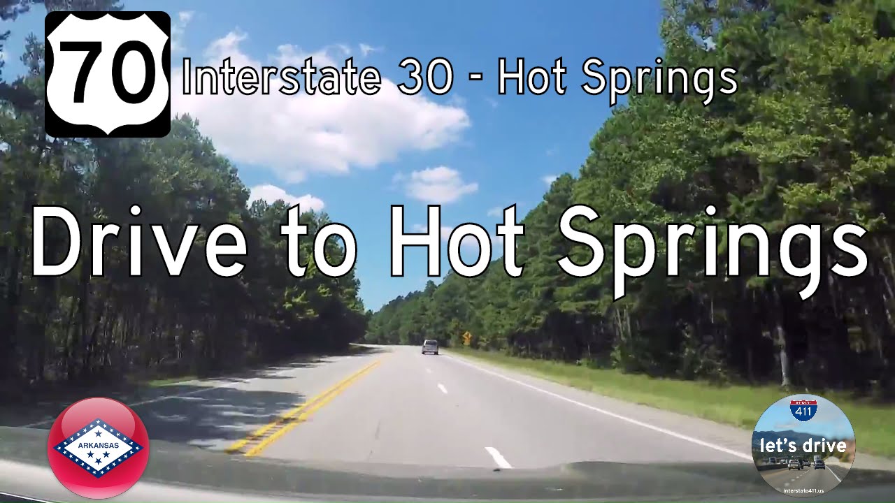
Take a ride back in time as we travel west along a now-vanished stretch of U.S. Route 70 from Benton to Hot Springs, Arkansas—a road once defined by its narrow curves, wooded surroundings, and timeless rural character. This 19-mile segment, recorded before a sweeping four-lane reconstruction, is part of what we now call a “Lost Highway”—a glimpse into the past when cross-country routes still felt personal and intimate. Though the new highway has brought speed and efficiency, the original path remains etched in memory and preserved here in this archival journey.
We begin at the edge of Benton, exiting Interstate 30 onto U.S. 70 westbound. Almost immediately, we leave the suburban reach of central Saline County behind. The signs of metro Little Rock—shopping centers, traffic signals, new housing developments—fade quickly in the rearview mirror. The highway narrows and settles into a more rhythmic pace as the forest begins to close in around us. Though still paved and striped, this was a road built for a different era, when 55 miles per hour felt fast enough and road trips were measured not just in distance, but in discovery.
West of the small crossroads at Lonsdale, the sense of isolation deepens. Here, the land rises and falls gently with the terrain of the Ouachita foothills. The forest hugs close to the roadway, with tall pines and hardwoods shading the pavement and framing the occasional break in the trees where mailboxes or gravel driveways hint at homes tucked just out of view. There are no subdivisions here, no strip malls—just scattered farms, rural churches, and signs pointing toward trails or fishing holes long familiar to locals. The road bends with the land, each curve offering a moment of anticipation—perhaps a clearing, a weathered gate, or the glint of sunlight off a pond. It’s a stretch of highway that still carried whispers of Sunday drives, tractor crossings, and a time before the corridor became a conduit for commuter traffic.
As we press westward, the woods begin to loosen their grip, and signs of nearby Hot Springs slowly start to emerge—not in the form of skyline or sprawl, but in subtle ways. Traffic grows denser. Roadside signage becomes more frequent. Commercial outposts, once isolated, begin to cluster as we near the outskirts of town. Still, the two-lane alignment maintains its character: modest shoulders, occasional dips, and turns that demand attention rather than automation. These final miles feel transitional—rural giving way to resort-town energy, pine groves giving way to neighborhoods and shopping plazas just beyond the trees.
Our drive concludes as we reach the Martin Luther King Jr. Expressway (US-70/270), the modern bypass route skirting around central Hot Springs. Here, the road’s past collides with its present. While the four-lane divided upgrade now dominates from here to Benton, our journey captures the essence of what once was: a corridor that carried not just vehicles, but generations of stories between city and country. Today, travelers may reach their destinations faster, but they’ll miss the quiet curves, the shifting light through the pines, and the subtle grace of a road that once asked us to slow down and take it all in.
🗺️ Route Map

0 Comments