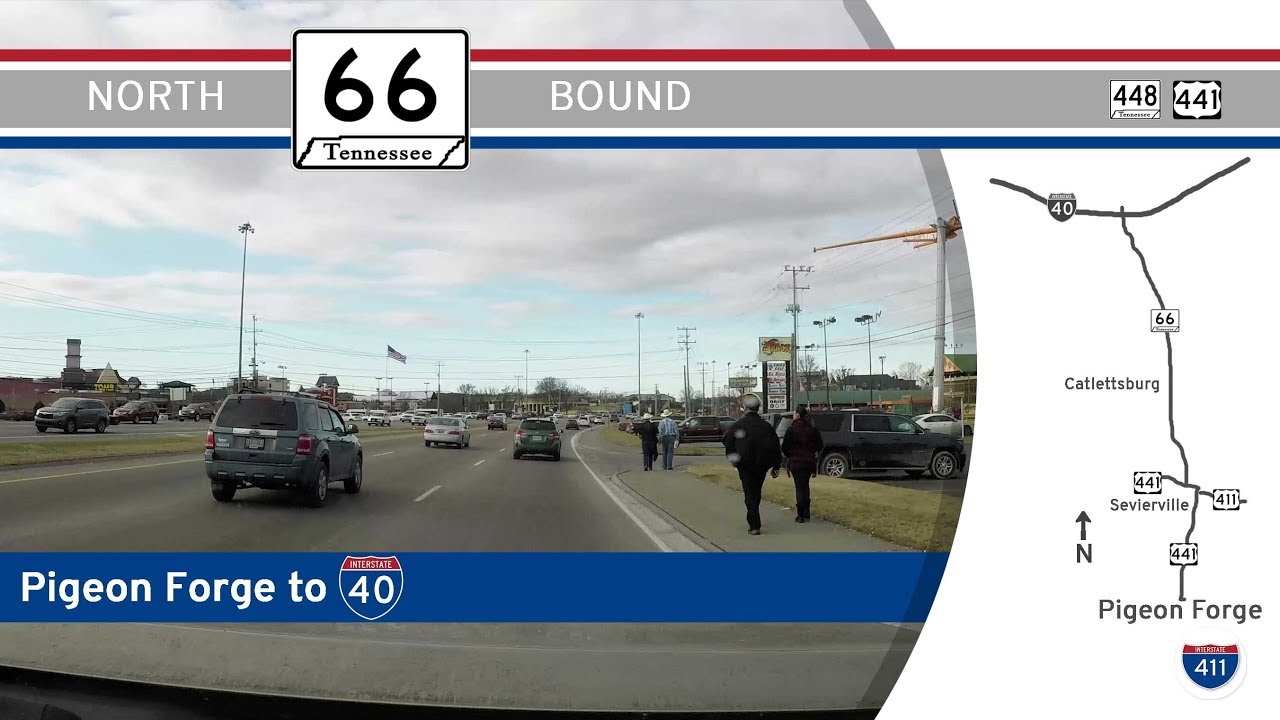
Take a scenic ride through the Smoky Mountain foothills as we follow a vibrant stretch of Tennessee Route 66 from Pigeon Forge to Kodak. This 13-mile journey leads us from the bustling heart of East Tennessee’s tourist corridor into the wide-open vistas near Interstate 40, offering a fascinating contrast between high-energy attractions and the relaxing pace of a rural highway.
Our journey begins just outside the iconic town of Pigeon Forge, where U.S. Highway 441 ushers us northward past a cavalcade of entertainment venues, outlet malls, and family-friendly attractions. As we leave the neon glow of Pigeon Forge behind, the road transitions into a more typical commercial corridor as we approach Sevierville. Here, the pace remains lively with a bustling array of restaurants, shopping centers, and tourist destinations such as Tanger Outlets Sevierville providing one last opportunity to indulge in some retail therapy before continuing our drive. We cross over the Little Pigeon River, a waterway steeped in the history of early East Tennessee settlement, before reaching a major intersection where U.S. Highway 441 veers off and Tennessee Highway 448, known locally as Parkway, carries us forward.
The brief jaunt along TN-448 offers a quieter, more spacious drive as we skirt the edge of Sevierville’s downtown area. We pass through the city’s main arterial connection at U.S. Highway 411, known here as Main Street, crossing paths with locals going about their daily lives far removed from the touristy bustle just a few miles south. Soon enough, TN-448 makes its western turn and we encounter the junction with Tennessee Route 66 — our primary route for the remainder of the trip.
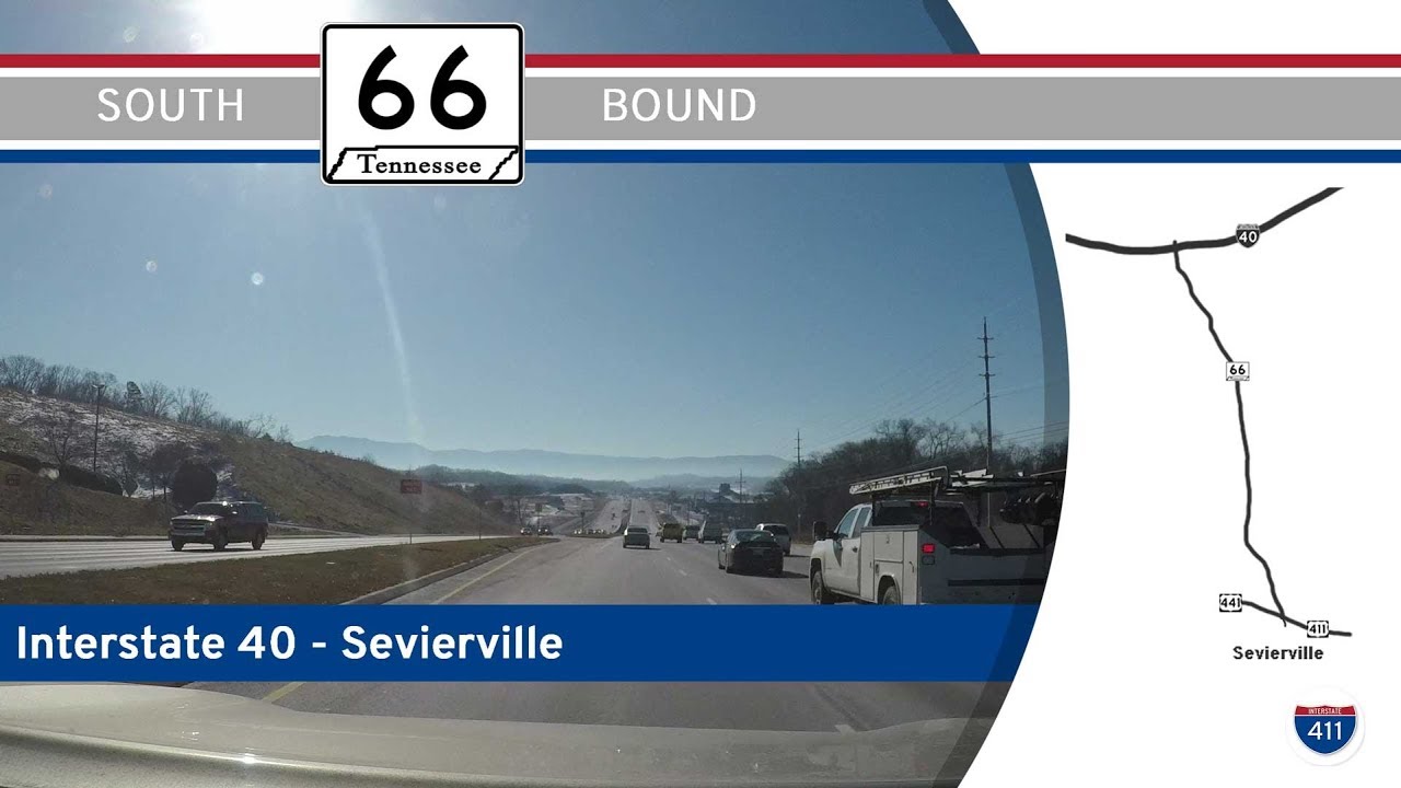
Turning onto TN-66, we are greeted by the smooth, divided highway built to efficiently funnel travelers from the Smoky Mountains to Interstate 40. The road gradually opens up, leaving behind the commercial density of Sevierville. As we continue north, the surrounding landscape begins to subtly shift. Rolling foothills give way to broader fields interspersed with clusters of homes and small farms. In the unincorporated community of Catlettsburg, we pass local businesses serving both commuters and residents, a reminder that this stretch of highway is as much a lifeline for locals as it is a connector for tourists.
The final leg of our journey is marked by a sense of transition. As we approach Kodak, the Smokies are visible in our rearview, while ahead the landscape flattens and opens toward the Tennessee Valley. We cruise past a mix of light commercial developments and pastoral scenes before approaching the impressive Diverging Diamond Interchange (DDI) at Interstate 40, a modern design meant to ease traffic flow and improve safety. Here, the highway splits towards Knoxville to the west and continues eastward toward the Tri-Cities region and beyond.
This short drive encapsulates the dual personality of East Tennessee — a region where the timeless beauty of the Smoky Mountains coexists with the energy of modern tourism, and where highways serve both as gateways to adventure and as quiet corridors through local life. Whether you’re heading into the mountains for a getaway or back towards home along the interstate, Tennessee Route 66 provides a quick but colorful slice of the Volunteer State’s vibrant identity.
🎵 Music:
Sovereign Kevin MacLeod (incompetech.com)
Licensed under Creative Commons: By Attribution 3.0 License
http://creativecommons.org/licenses/by/3.0/
🗺️ Route Map

0 Comments