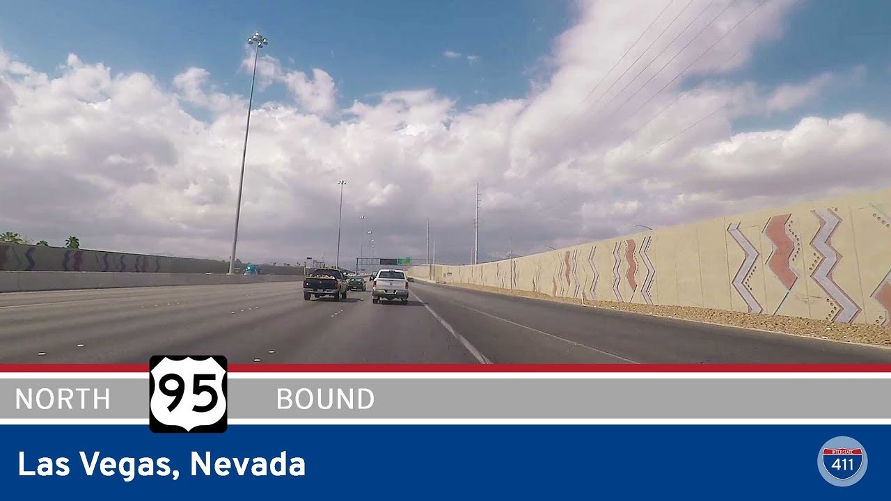
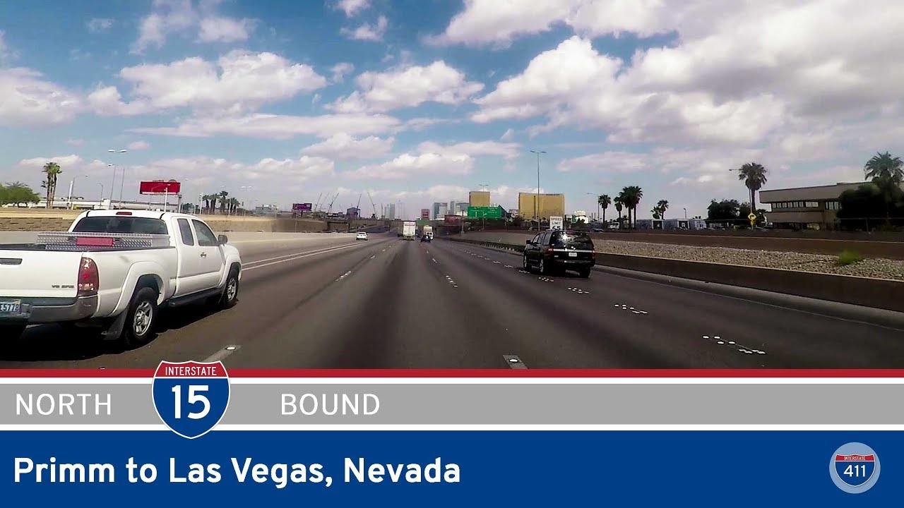
Take a ride through the dynamic desert metropolis of southern Nevada as we follow the newly redesignated Interstate 11 for 21 miles from the heart of Las Vegas to the edge of Railroad Pass. Once known as Interstate 515, this stretch has officially taken on the I-11 designation as of December 9, 2022—marking a new chapter for southern Nevada’s highway system as it transitions into a key north-south corridor. Our journey begins on the northwest fringe of Las Vegas, where we join the interstate from I-15 north, merging onto the southern leg of the city’s freeway web. This initial stretch hugs the north side of downtown, offering a brief but panoramic view of the city’s core as we cruise eastward for about three miles.
Soon, the highway makes a subtle yet defining turn to the south, bypassing the casino-saturated Strip and urban hustle of Las Vegas proper. Here, we glide past a tangle of surface streets and overpasses that knit together the eastern suburbs, skirting densely packed neighborhoods and commercial zones. The traffic is ever-present, but the road itself is wide and modern, with noise walls and decorative fencing providing some buffer from the bustling residential areas nearby. As we approach Flamingo Road (NV-592), we exit the interstate for a brief fuel stop—something familiar to many travelers who’ve made this run between Vegas and Arizona. Once refreshed, we rejoin the freeway and continue our descent through the Las Vegas Valley, trading the city skyline for the rising ridgelines in the distance.
Crossing into Henderson, the second-largest city in Nevada, the freeway environment begins to feel more suburban. Exit signs for retail centers, golf communities, and residential enclaves dot the landscape, while desert foothills start closing in around us. Soon, we arrive at the crucial interchange with Interstate 215 and NV-564, a major regional hub for traffic connecting Henderson to Lake Las Vegas, the Boulder Highway corridor, and the southern loop of the Las Vegas Beltway. Staying southbound on I-11, we continue into the narrowing corridor leading toward Boulder City. This segment feels noticeably more open, the density of development thinning as we push into the outskirts of the metro area. Just beyond this interchange lies Railroad Pass, a historically significant location where the old Union Pacific Railroad once cut through the hills, solidifying the transition from city freeway to long-haul interstate.
As we end our journey at Railroad Pass, it’s clear that this corridor is more than a standard urban bypass—it’s a bridge between the neon sprawl of Las Vegas and the raw, open landscape that leads to the Hoover Dam, Lake Mead, and points south. With I-11’s eventual plans to connect Las Vegas to Phoenix and beyond, this short but significant stretch represents the evolving infrastructure needs of a fast-growing region. It’s a symbolic start to a highway that aims to link two major metro areas and reshape the future of desert travel in the American Southwest.
🗺️ Route Map
0 Comments