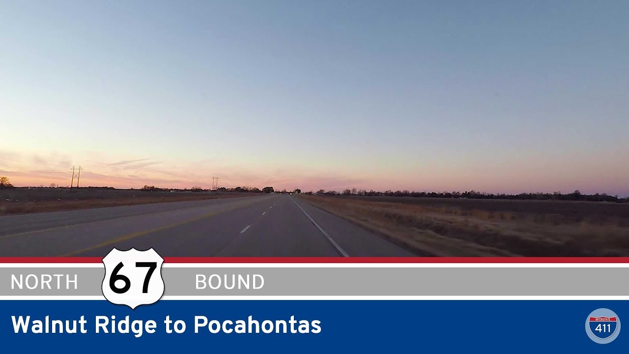
Take a ride through the northeastern Arkansas lowlands as we follow U.S. Route 67 from Walnut Ridge to Pocahontas, a short but quietly scenic 13-mile drive that connects two of the region’s most historic communities. This corridor, though now upgraded and modernized, still pulses with echoes of the past—rail towns, cotton fields, and the ever-adaptable rhythm of rural Arkansas.
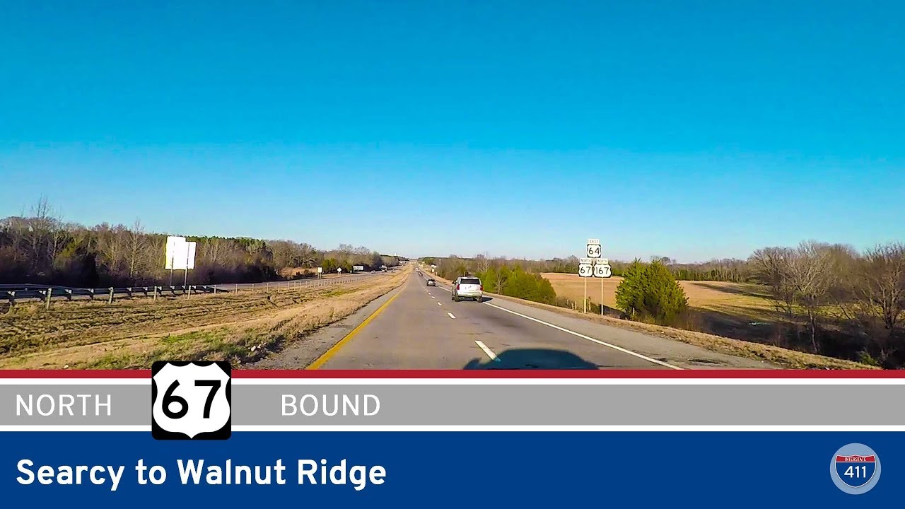
We begin our journey just outside of Walnut Ridge, merging northbound onto US-67 at its junction with US-412, where the divided highway has become a major thoroughfare for traffic skirting the foothills of the Ozarks to the west. As we leave the edge of town, the landscape quickly opens into wide tracts of farmland—row crops stretching out toward the horizon, occasionally broken by grain silos, equipment sheds, and the faint outlines of distant tree lines. This area forms part of Arkansas’s Delta fringe, where agriculture remains the primary livelihood and the land tells the story of decades of hard-earned yield.
Along the way, we pass small clusters of development—industrial lots, metal buildings, and the occasional country church—markers of a working landscape that has adapted to the flow of both goods and travelers. The road here is smooth and swift, but not without charm. To the east, the land remains flat and fertile, while to the west, the terrain starts to roll gently, hinting at the Ozarks just beyond sight. This corridor once formed part of the Old Southwest Trail, a historic migration route, and even now, US-67 remains a critical artery for the region.
As we near Pocahontas, the fields slowly give way to commercial signs, roadside businesses, and signs for Black River Technical College, marking the transition from rural to small-town life. The town itself is one of Arkansas’s oldest settlements, founded on the banks of the Black River and shaped by both river commerce and railroad expansion. Entering the city, US-67 narrows slightly and becomes more urban in character. We roll to a stop at the intersection with Arkansas Highway 304, right in the heart of Pocahontas—a town where history is still preserved in the downtown historic district, just a few blocks west.
Though short, this stretch of US-67 offers more than just miles—it offers a glance at the everyday backbone of northeastern Arkansas. It’s a drive that mixes industry with agriculture, history with motion, and the subtle beauty of utility. It’s not a route most would call dramatic, but for those who know where to look, it’s a gem worth discovering.
🗺️ Route Map


0 Comments