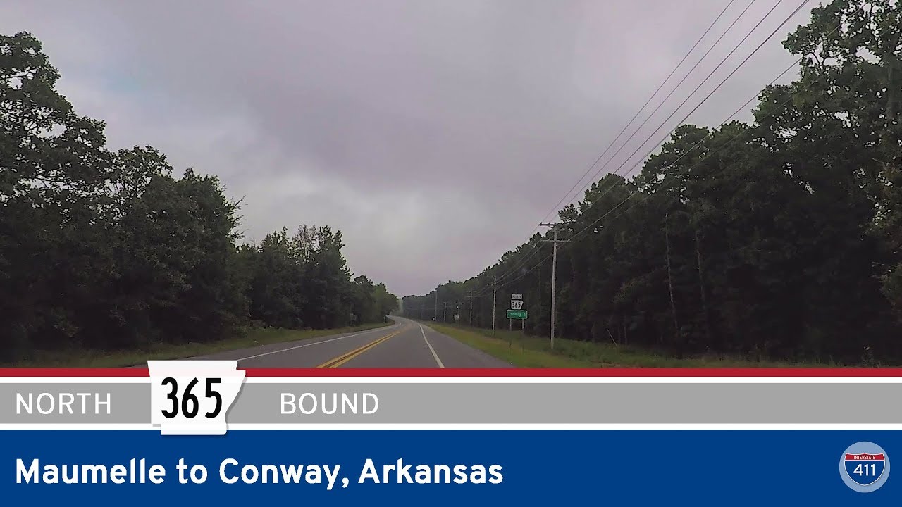
Take a backroads journey through Central Arkansas as we follow the subtle curves and quiet towns along Arkansas Highway 365 from Maumelle to downtown Conway. This 18-mile stretch offers a glimpse into the rhythm of life just west of the busy Interstate 40 corridor, where bayous, bridges, and small-town streets tell a different story than the freeway lanes just out of sight.
Our route begins on AR-365 at the junction with AR-100, just north of Maumelle. The land here is transitional—low and wooded near the Arkansas River, but opening up as we head west toward Palarm Creek. After crossing the creek, AR-365 bends north, adopting a more rural character as we head toward Mayflower. This part of the drive traces one of the older alignments of U.S. 65, and though it’s no longer a major route, the pavement still holds echoes of long-haul traffic and mid-century travelers.
As we enter Mayflower, signs of growth and rebuilding appear—this small town gained national attention during the 2014 oil spill and continues to evolve. The route parallels I-40 closely now, with glimpses of semis flashing past to the east as we navigate the heart of town. We pass the original junction with AR-89 near the city center, and then the newer just before crossing the southern arm of Lake Conway. The lake, a sprawling reservoir built in the 1940s by the Arkansas Game and Fish Commission, flanks the road on the east side here—cypress knees poking up from the water, anglers in jon boats drifting near the shore. This is a quiet highlight of the drive, especially at sunrise or sunset.
Leaving Mayflower behind, AR-365 threads its way through the Gold Creek area, a lightly populated stretch that still carries traces of the delta’s edge—flat fields, roadside produce stands, and wide-open skies. We cross Lake Conway again, this time farther north, before the highway gently lifts into the outskirts of Conway. As we approach Conway, the landscape shifts—the trees arch higher over the road, homes begin to cluster closer together, and the rural quiet gives way to the bustle of city life. Just before entering town, AR-365 officially ends at the interchange with U.S. 65 Business, but our journey continues as we transition seamlessly onto US-65B. Almost immediately, the road becomes Harkrider Street, a primary thoroughfare that guides us through the heart of Conway.
Along Harkrider, the city reveals itself in layers. We pass the historic train depot, a reminder of Conway’s early railroad roots, and weave through neighborhoods anchored by schools, shops, and signs of steady growth. Intersections come more frequently now—Robbins Street, Bruce Street, College Avenue—each serving as a milepost in Conway’s transformation from a quiet college town into a modern hub of education, technology, and commerce. The drive concludes at Oak Street, where U.S. Highway 64 joins the road from the east in downtown. It’s a thoughtful end to this short but expressive route—one that bridges rural heritage and urban energy in just a few scenic miles.
🗺️ Route Map


0 Comments