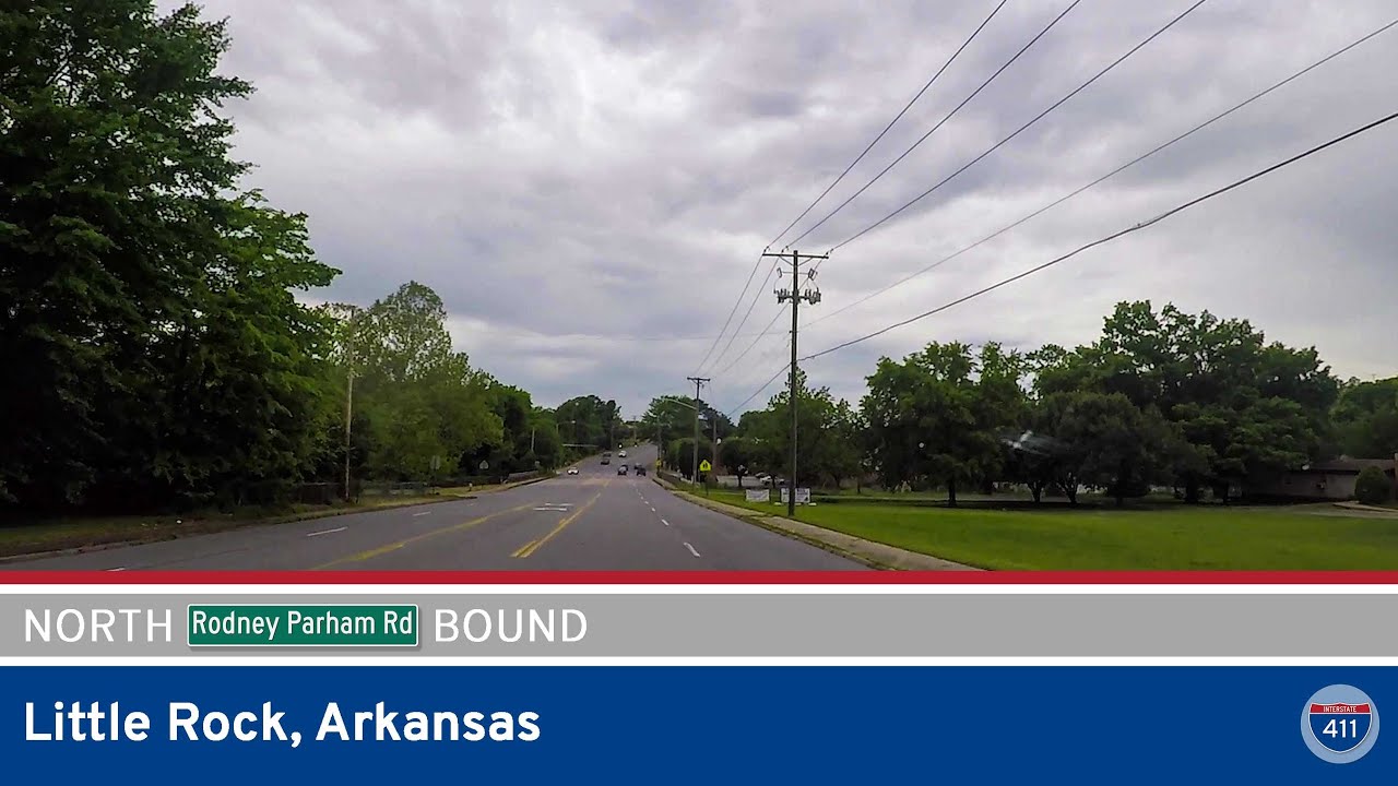
Join us as we drive five miles northbound along Rodney Parham Road through the heart of west-central Little Rock, Arkansas. This urban arterial is more than just a connector — it’s a microcosm of the city’s shifting neighborhoods, commercial corridors, and residential enclaves. Starting at the intersection with 12th Street and heading toward Arkansas Highway 10, this stretch of Rodney Parham offers a surprisingly scenic and varied drive for such a busy city route.
We begin our journey by turning onto Rodney Parham Road from 12th Street, just west of UAMS and Midtown Little Rock. This area is dotted with modest commercial storefronts, local eateries, and service businesses. Almost immediately, we pass the entrance ramp to Interstate 630 eastbound — a major east-west freeway that cuts through the capital city. A short “S-curve” follows as the road gently realigns, transitioning us out of the dense Midtown layout and toward the residential areas that define this corridor.
At the intersection with Mississippi Avenue, Rodney Parham briefly jogs westward before resuming its course. This segment is surrounded by large, established neighborhoods and shady streets that reflect some of Little Rock’s post-war suburban growth. Before long, we pass the I-630 westbound interchange, offering quick access to west Little Rock.
Crossing Markham Street — a key east-west surface route that parallels I-630 — we skirt the bottom part of the Leawood neighborhood. Markham here is near the boundary of several evolving areas: to the east, more urban neighborhoods; to the west, newer subdivisions and strip malls. Rodney Parham transitions smoothly into a more tree-lined avenue with increasing commercial density as we approach Van Lee Street.
As we curve back northwest, the surroundings shift again — this time toward mixed-use zones with both office complexes and apartment communities. At Reservoir Road, a connector the Reservoir Park area and Cantrell Road, traffic tends to pick up, especially during peak commuting hours. Just beyond this point, we reach one of the route’s main junctions — the interchange with Interstate 430.
The I-430 interchange is a key crossing that links north-south freeway travel between Maumelle and the south side of Little Rock. From this point, Rodney Parham enters a busier, more suburban commercial zone with big-box stores, medical offices, and restaurants that serve the western neighborhoods. It’s not quite West Little Rock just yet, but we’re getting close.
Continuing past the intersection with Green Mountain Drive and Hinson Road, we turn right to stay on Rodney Parham Road as it doglegs through the Pleasant Valley neighborhood. This final stretch is heavily residential, with mature trees and upscale subdivisions framing the road on both sides. We also pass Pleasant Valley Drive, which leads into the country club community and one of Little Rock’s more affluent enclaves.
We wrap up the drive at the intersection with Arkansas Highway 10, better known locally as Cantrell Road. This east-west highway is one of the city’s major commuter routes, offering access toward downtown to the east and Lake Maumelle and Pinnacle Mountain State Park to the west. The intersection with Rodney Parham here marks a natural endpoint — a confluence of suburban calm and urban convenience.
🗺️ Route Map
0 Comments