Join us for a scenic 28-mile journey as we explore Arkansas Highway 16, traveling west from the quiet community of Brashears all the way into the vibrant city of Fayetteville. This stretch offers a little bit of everything: peaceful river valleys, tiny mountain towns, wooded hillsides, and a gradual transition into suburban life as we approach the city.
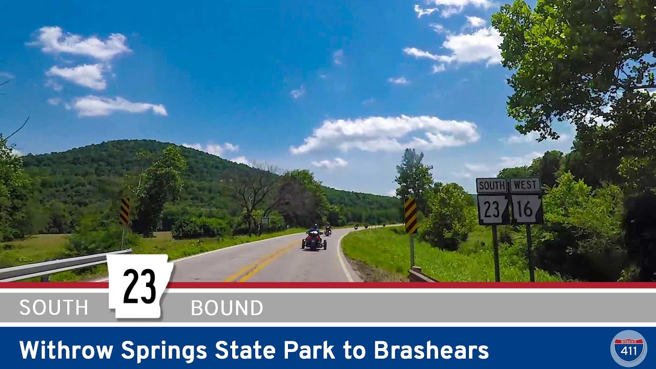
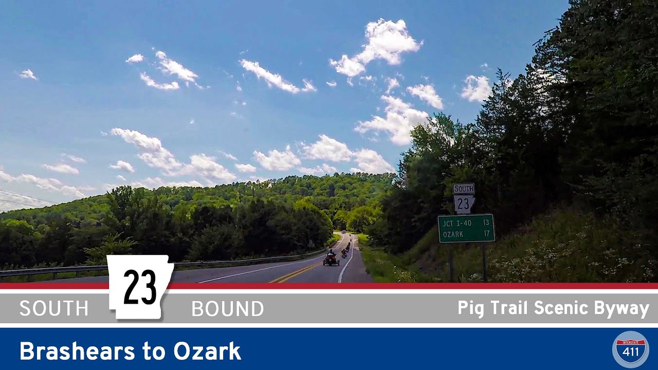
We kick things off at the junction of Arkansas Highway 23 — famously known as the Pig Trail, a favorite among motorcyclists for its winding curves through the Ozark National Forest. From Brashears, we turn left onto Highway 16 and immediately find ourselves surrounded by dense Ozark woodlands. Just a few minutes down the road, we reach Combs, a speck of a community where AR-295 branches off to the north. It’s worth slowing down here if you’re a fan of classic Ozark backroad scenery — little churches, country homes, and the ever-present hush of the surrounding forest greet travelers on all sides.
Continuing northwest, we parallel the White River, which snakes along the south side of the highway for a good portion of the drive. This part of Highway 16 is tranquil and shady, with river glimpses peeking through breaks in the trees. As we roll into Crosses, AR-295 rejoins us again, this time branching to the south. Crosses itself is a neat spot for a pit stop: while small, it has that quiet charm typical of Ozark crossroads communities. A few locals and travelers passing through are about all you’ll find here, and that’s part of the appeal.
Past Crosses, the highway keeps flirting with the White River before we pass through Durham, another quiet settlement tucked in rolling hills. Not far ahead, Highway 16 curves northward toward Elkins — the largest town we’ve hit since Brashears. Elkins offers a hint of suburbia mixed with the last whispers of rural life. Here, Highway 74 terminates at our route — one of Arkansas’s many disconnected segments of the same highway number, a quirk local drivers are well familiar with. If you’re hungry or need gas, Elkins is a convenient spot to take a break before pushing into Fayetteville proper.
West of Elkins, the landscape shifts again. We roll by Lake Sequoyah Park, a local favorite for fishing, kayaking, or a simple walk around the water’s edge. Keep an eye out for Baldwin — it’s more of a bend in the road than a town, but it marks our final transition from countryside to city streets. From here, Highway 16 straightens up and heads west on Huntsville Road, ushering us into the growing suburbs of southeast Fayetteville. Our drive ends at the intersection with Arkansas Highway 265, which is a major corridor looping through the eastern side of the city. From this point, you’re just minutes away from the heart of Fayetteville — whether you’re aiming for the University of Arkansas campus, Dickson Street’s bars and shops, or the historic downtown square.
🗺️ Route Map
0 Comments