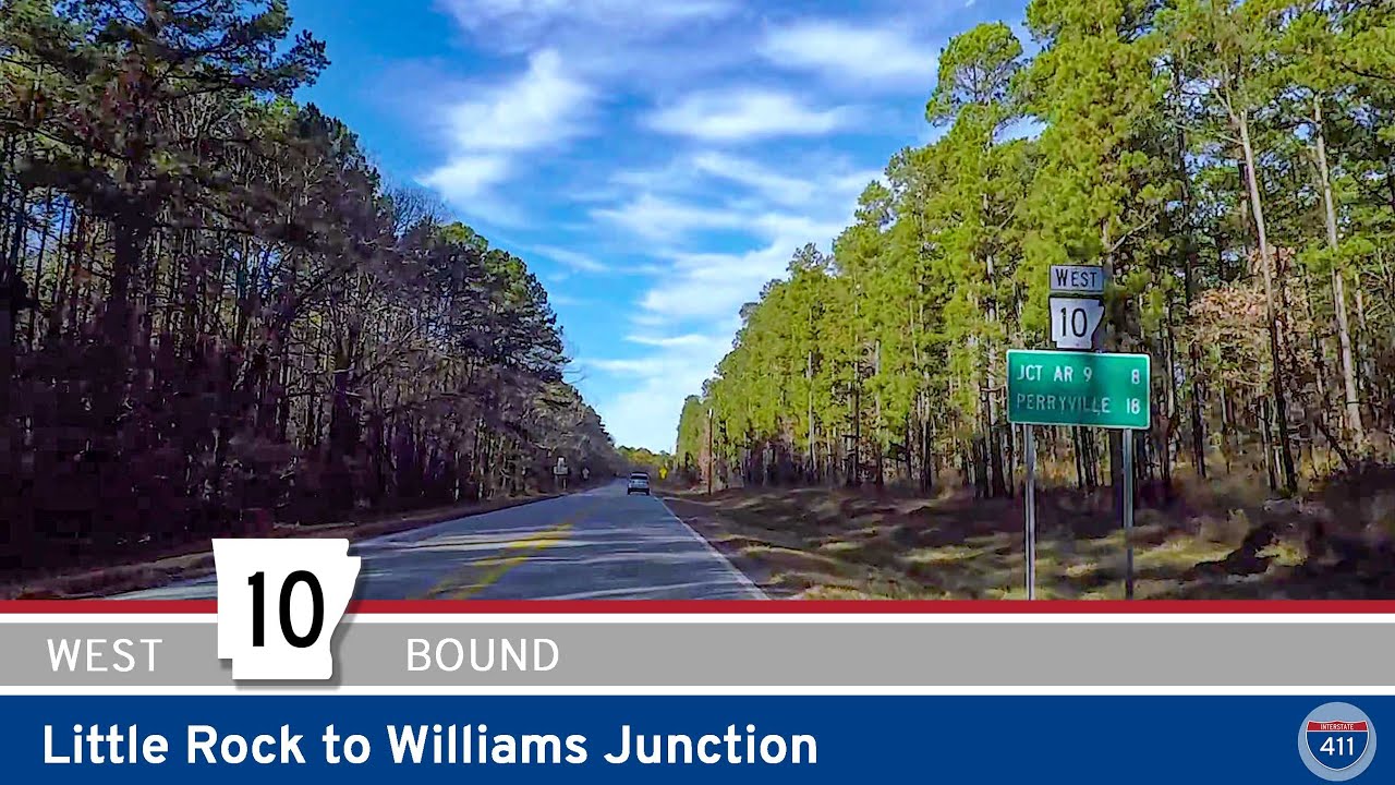
Join us as we drive 19 scenic miles west along Arkansas Highway 10, connecting the western edge of Little Rock to the peaceful community of Williams Junction. 💎
We begin our journey on Highway 10 at its intersection with Chenal Parkway, tucked into the rolling neighborhoods of west Little Rock. Almost immediately, we pass the junction with Arkansas Highway 300 — a reminder that this stretch is a gateway for day-trippers heading toward Pinnacle Mountain State Park. Once past this busy intersection, the suburban bustle quickly fades, giving way to a landscape of pine-covered ridges and glimpses of country homes tucked back from the highway.
A few miles in, the route sweeps us alongside the inviting blue waters of Lake Maumelle, which serves as the primary drinking water source for Little Rock and a popular escape for anglers. As we hug the southern shore, watch for small pull-offs where locals pause to cast a line or snap photos of the broad lake framed by Ouachita ridgelines. For about five peaceful miles, we trace the lake’s edge before the highway makes a gentle arc northward, carrying us across the lake’s west end via an elevated causeway. This spot is a favorite for sunrise or sunset views — if you’re not behind the wheel, it’s worth pulling over for a few minutes of calm.
Crossing to the north side of Lake Maumelle, we soon meet the southern end of Arkansas Highway 113, which heads north toward Bigelow and beyond. Staying on AR-10, we press west into Perry County, where the landscape shifts subtly from lakeside serenity to the foothills that mark the beginning of the Ouachita National Forest’s rolling terrain. Along this stretch, expect gentle grades, roadside pastures, and the occasional glimpse of the Arkansas Midland Railroad paralleling the road through wooded cuts.
A few miles past the county line, we arrive at Williams Junction — a quiet spot where Arkansas Highway 9 intersects AR-10. Here, we conclude our westbound drive by continuing on the now-conjoined AR-9/AR-10 toward the deeper Ouachita foothills. If you’re looking for a side adventure, consider turning north on AR-9 to visit Lake Sylvia Recreation Area, now part of the Arkansas State Parks system, or explore the network of forest roads threading into the surrounding hills.
🗺️ Route Map
0 Comments