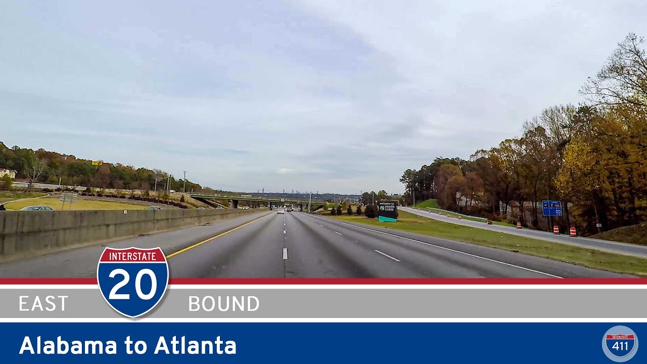
Buckle up as we travel eastbound on Interstate 20, covering about 57 miles from the Alabama state line straight into the vibrant heart of Atlanta, Georgia. This stretch, officially named the Tom Murphy Freeway for much of its Georgia run, is a major east-west artery connecting rural communities and rapidly growing suburbs to the bustling core of the Peach State’s biggest city. We start our drive just after crossing the Alabama border near Tallapoosa, where the scenery quickly shifts from rolling hills to the suburban spread that signals our approach to the Metro Atlanta region.
Not long after crossing into Georgia, we hit our first must-stop: the Georgia Welcome Center. It’s a great chance to stretch our legs, pick up local maps, and snap a photo or two under the “Welcome to Georgia” sign — a rite of passage for many road trippers heading east. Back on the road, we cruise past the junction with GA-100 and soon encounter U.S. Highway 27 near Bremen. This corridor remains lined with pockets of pine forests and glimpses of farmland, giving drivers a quick taste of West Georgia’s transitional landscape — part rural charm, part suburban sprawl inching closer with each mile.
As we push further east, Douglasville becomes our next landmark city. Right off the interstate at GA-5, Douglasville offers convenient stops for dining, shopping, or refueling both the car and ourselves. This is also a popular overnight spot for travelers who want to avoid Atlanta’s downtown prices while still being close to the city’s west side attractions. Not far past Douglasville, we skirt the northern edge of Sweetwater Creek State Park — an underrated natural gem. For those with time to spare, the park’s ruins of the New Manchester Mill and its quiet hiking trails along the creek make for a peaceful detour from freeway fatigue.
The final approach into Atlanta is a treat for anyone who loves city skylines. After passing GA-6, the iconic amusement rides of Six Flags Over Georgia peek out to the right. This long-standing theme park has been thrilling locals and tourists alike since the 1960s and remains a family favorite. Rolling on, we cross the perimeter highway, Interstate 285, which loops around the entire Atlanta metro area. Once inside the perimeter, the cityscape grows denser, and the pace quickens as we weave through interchanges feeding neighborhoods like West End and Castleberry Hill. Our journey wraps up right in the heart of downtown Atlanta at the busy junction with Interstate 75 — one of the Southeast’s busiest crosspoints, funneling traffic north towards Marietta or south towards Macon.
Whether you’re headed straight through to the East Coast or planning to explore Atlanta, this slice of I-20 packs plenty into its 57-mile run: small towns, local eats, a splash of nature, and a front-row seat to Georgia’s capital city unfolding on the horizon. If you find yourself on this corridor, keep an eye out for variable speed limits and heavier traffic as you near downtown, especially during rush hour. A little patience — and maybe a podcast or two — goes a long way in making this drive smooth and memorable.
🗺️ Route Map

0 Comments