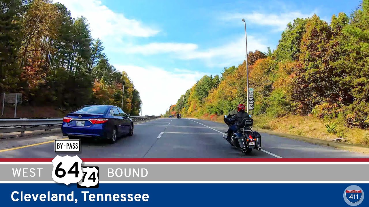
While not one of the longest drives we’ve documented, the 7-mile stretch of U.S. Route 74 that bypasses Cleveland, Tennessee is a short but significant connector that plays a big role in East Tennessee’s regional traffic flow. Known officially as the U.S. Route 64 Bypass and also co-signed as U.S. Route 74, this segment creates a southern arc around the city, helping ease congestion in downtown Cleveland by diverting through-traffic—particularly freight and long-distance travelers—toward the larger interstates and U.S. highways.
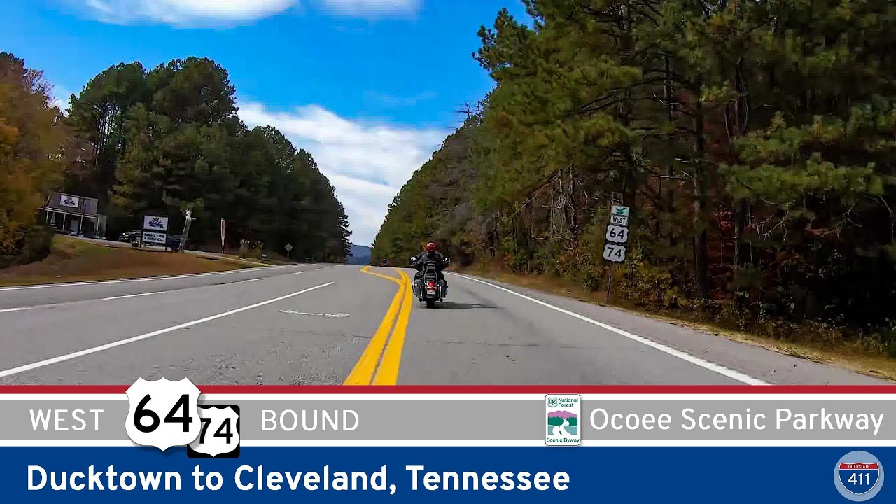
Our drive begins at the junction where U.S. 74 and U.S. 64 split just east of Cleveland. From there, we head south on the Cleveland Bypass, a divided four-lane highway that’s lined with a mix of light industrial sites, residential neighborhoods, and patches of wooded terrain. It’s clear that this route is designed more for flow than for scenery—but there’s still plenty of interest here. You’ll pass by Cleveland State Community College to the north and cross over several local roads that serve the eastern and southern suburbs. This part of town continues to grow, and it’s common to see ongoing development along the corridor.
Just past the junction with Tennessee State Route 60—an important north-south road that heads into downtown—we turn west and head directly toward Interstate 75. This portion of the drive feels more open, with fewer intersections and more of that classic Tennessee foothill landscape in the distance. The road skirts the edge of Cleveland proper, providing easy access to neighborhoods like South Cleveland and Wildwood Lake, as well as local shopping centers and commercial hubs.
We end the drive at the interchange with Interstate 75, where U.S. 74 joins the freeway heading south toward Chattanooga. From here, the route becomes part of a larger interstate journey that connects North Carolina’s mountains to Georgia’s borderlands, continuing the story of U.S. 74 as a major east-west artery across the southern Appalachian region.
🗺️ Route Map
0 Comments